How to get to Playing Dead by bus?
Click on the bus route to see step by step directions with maps, line arrival times and updated time schedules.
From Hampton Inn & Suites-Hampton Watertown Boston (Hampton Inn & Suites Watertown Boston), Watertown Town
51 minFrom Brighton, Boston
82 minFrom Arlington, MA, Arlington
109 minFrom Chestnut Hill, Boston
87 minFrom AWACS (Bldg 1612), Hanscom Afb
170 minFrom Takeda, Lexington
79 minFrom SharkNinja Operating LLC, Needham
91 minFrom The Mall At Chestnut Hill, Newton
93 minFrom Boston College (BC), Boston
86 minFrom Alumni Stadium, Boston
86 min
Bus stop near Playing Dead in Waltham
- Main St @ Stow St, 8 min walk,VIEW
Train station near Playing Dead in Waltham
- Brandeis/Roberts, 20 min walk,VIEW
Bus lines to Playing Dead in Waltham
- 70, Market Place Dr,VIEW
What are the closest stations to Playing Dead?
The closest stations to Playing Dead are:
- Main St @ Stow St is 609 yards away, 8 min walk.
- Brandeis/Roberts is 1684 yards away, 20 min walk.
Which bus line stops near Playing Dead?
70 (Cedarwood)
Which train line stops near Playing Dead?
FITCHBURG (#409 | Wachusett)
What’s the nearest train station to Playing Dead in Waltham?
The nearest train station to Playing Dead in Waltham is Brandeis/Roberts. It’s a 20 min walk away.
What’s the nearest bus station to Playing Dead in Waltham?
The nearest bus station to Playing Dead in Waltham is Main St @ Stow St. It’s a 8 min walk away.
What time is the first train to Playing Dead in Waltham?
The FITCHBURG is the first train that goes to Playing Dead in Waltham. It stops nearby at 5:27 AM.
What time is the last train to Playing Dead in Waltham?
The FITCHBURG is the last train that goes to Playing Dead in Waltham. It stops nearby at 12:19 AM.
What time is the first bus to Playing Dead in Waltham?
The 70 is the first bus that goes to Playing Dead in Waltham. It stops nearby at 4:57 AM.
What time is the last bus to Playing Dead in Waltham?
The 70 is the last bus that goes to Playing Dead in Waltham. It stops nearby at 12:20 AM.
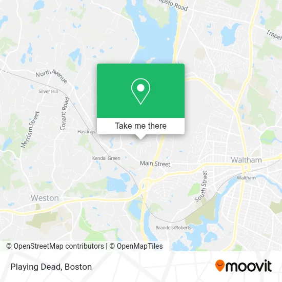
See Playing Dead, Waltham, on the map
Public Transit to Playing Dead in Waltham
Wondering how to get to Playing Dead in Waltham? Moovit helps you find the best way to get to Playing Dead with step-by-step directions from the nearest public transit station.
Moovit provides free maps and live directions to help you navigate through your city. View schedules, routes, timetables, and find out how long does it take to get to Playing Dead in real time.
Looking for the nearest stop or station to Playing Dead? Check out this list of stops closest to your destination: Main St @ Stow St; Brandeis/Roberts.
Bus: 70.Train: FITCHBURG.
Want to see if there’s another route that gets you there at an earlier time? Moovit helps you find alternative routes or times. Get directions from and directions to Playing Dead easily from the Moovit App or Website.
We make riding to Playing Dead easy, which is why over 1.7 million users, including users in Waltham, trust Moovit as the best app for public transit. You don’t need to download an individual bus app or train app, Moovit is your all-in-one transit app that helps you find the best bus time or train time available.
For information on prices of bus, subway and train, costs and ride fares to Playing Dead, please check the Moovit app.
Use the app to navigate to popular places including to the airport, hospital, stadium, grocery store, mall, coffee shop, school, college, and university.
Location: Waltham, Boston
- Avalon Bear Hill,
- Global Luxury Suites at Waltham,
- Archstone Bear Hill Model Apt,
- Avalon Bay Communications,
- Cambridge School Of Weston,
- Wisdom Garage Doors Service,
- Ax 24 Hour Locksmith,
- Cvca Cardiac Care For Pets,
- Mount Ida Career Center,
- Locks & Locksmith,
- Cvca Cardiac Care for Pets - Waltham,
- Pelmeds,
- Gratitude Hot Yoga Waltham,
- Avalon Bear Hill,
- Bear Hill,
- Cubesmart Self Storage,
- Revive City Church,
- TFT Waltham Ma,
- Town Fair Tire,
- Anza Outdoor Solutions
Places Near Playing Dead (Waltham)
- Boston Medical Center, Boston,
- Wilbur Theatre, Boston,
- House Of Blues, Boston,
- North End, Boston,
- Faneuil Hall, Boston,
- Museum Of Science, Boston,
- Td Garden, Boston,
- Leader Bank Pavilion (Leader Bank Pavillion), Boston,
- Wang Theater, Boston,
- Seaport District, Boston,
- Boston Common, Boston,
- Cheers, Boston,
- Prudential Center, Boston,
- Massachusetts General Hospital, Boston,
- Mgm Music Hall, Boston,
- Castle Island, Boston,
- Quincy Market, Boston,
- Boston Children's Hospital, Boston,
- Boston Convention & Exhibition Center, Boston,
- Isabella Stewart Gardner Museum, Boston
How to get to popular places in Boston with public transit
Get around Waltham by public transit!
Traveling around Waltham has never been so easy. See step by step directions as you travel to any attraction, street or major public transit station. View bus and train schedules, arrival times, service alerts and detailed routes on a map, so you know exactly how to get to anywhere in Waltham.
When traveling to any destination around Waltham use Moovit's Live Directions with Get Off Notifications to know exactly where and how far to walk, how long to wait for your line, and how many stops are left. Moovit will alert you when it's time to get off — no need to constantly re-check whether yours is the next stop.
Wondering how to use public transit in Waltham or how to pay for public transit in Waltham? Moovit public transit app can help you navigate your way with public transit easily, and at minimum cost. It includes public transit fees, ticket prices, and costs. Looking for a map of Waltham public transit lines? Moovit public transit app shows all public transit maps in Waltham with all Bus, Train, Subway and Ferry routes and stops on an interactive map.
Boston has 4 transit type(s), including: Bus, Train, Subway and Ferry, operated by several transit agencies, including MBTA, Southeastern Regional Transit Authority, MetroWest Regional Transit Authority, Rhode Island Public Transit Authority, WRTA, Lowell Regional Transit Authority, Merrimack Valley Transit, Montachusett Regional Transit Authority, Cape Cod Regional Transit Authority, Brockton Area Transit Authority, Martha's Vineyard Transit Authority, the WAVE - Nantucket Regional Transit Authority, GATRA, Cape Ann Transportation Authority and Massport