How to get to Pmi Ocean State by bus?
Click on the bus route to see step by step directions with maps, line arrival times and updated time schedules.
Bus stop near Pmi Ocean State in Boston
- Clinton at Kennedy Manor, 6 min walk,VIEW
What are the closest stations to Pmi Ocean State?
The closest stations to Pmi Ocean State are:
- Clinton at Kennedy Manor is 490 yards away, 6 min walk.
Which bus line stops near Pmi Ocean State?
54 (Woonsocket/Bellingham Via Ccri Lincoln)
What’s the nearest bus station to Pmi Ocean State in Boston?
The nearest bus station to Pmi Ocean State in Boston is Clinton at Kennedy Manor. It’s a 6 min walk away.
What time is the first bus to Pmi Ocean State in Boston?
The 54 is the first bus that goes to Pmi Ocean State in Boston. It stops nearby at 5:14 AM.
What time is the last bus to Pmi Ocean State in Boston?
The 54 is the last bus that goes to Pmi Ocean State in Boston. It stops nearby at 12:55 AM.
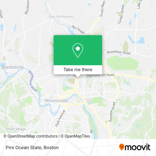
See Pmi Ocean State, Boston, on the map
Public Transit to Pmi Ocean State in Boston
Wondering how to get to Pmi Ocean State in Boston? Moovit helps you find the best way to get to Pmi Ocean State with step-by-step directions from the nearest public transit station.
Moovit provides free maps and live directions to help you navigate through your city. View schedules, routes, timetables, and find out how long does it take to get to Pmi Ocean State in real time.
Looking for the nearest stop or station to Pmi Ocean State? Check out this list of stops closest to your destination: Clinton at Kennedy Manor.
Bus: 54, 87.
Want to see if there’s another route that gets you there at an earlier time? Moovit helps you find alternative routes or times. Get directions from and directions to Pmi Ocean State easily from the Moovit App or Website.
We make riding to Pmi Ocean State easy, which is why over 1.7 million users, including users in Boston, trust Moovit as the best app for public transit. You don’t need to download an individual bus app or train app, Moovit is your all-in-one transit app that helps you find the best bus time or train time available.
For information on prices of bus and train, costs and ride fares to Pmi Ocean State, please check the Moovit app.
Use the app to navigate to popular places including to the airport, hospital, stadium, grocery store, mall, coffee shop, school, college, and university.
Pmi Ocean State Address: 542 Privilege St street in Boston
- Spectacularly Spotless,
- Luxury Moving,
- Gift of Love,
- Zap Pho & Wings,
- Terrasil,
- Thatzit,
- Local Auto Glass,
- Rise Prep Mayoral Academy,
- Logville Pre-Cast,
- The Eco Friendly Gardner,
- Ocean State Wellness C,
- Pediatric Care Services,
- Laurent Normand St Ins,
- Enrollment Solutions,
- Dr George Bourganos MD,
- Extreme Auto Care Car,
- Community Care Alliance,
- Quality Pharmaceutical Services,
- Laguna Taqueria and Pizzeria,
- Jeff's Roofing and Gutters
Places Near Pmi Ocean State (Boston)
- North End, Boston,
- Massachusetts General Hospital, Boston,
- Boston Medical Center, Boston,
- Wilbur Theatre, Boston,
- Quincy Market, Boston,
- Seaport District, Boston,
- Cheers, Boston,
- Boston Children's Hospital, Boston,
- Prudential Center, Boston,
- Td Garden, Boston,
- Castle Island, Boston,
- Mgm Music Hall, Boston,
- House Of Blues, Boston,
- Isabella Stewart Gardner Museum, Boston,
- Faneuil Hall, Boston,
- Leader Bank Pavilion (Leader Bank Pavillion), Boston,
- Boston Common, Boston,
- Boston Convention & Exhibition Center, Boston,
- Wang Theater, Boston,
- Museum Of Science, Boston
How to get to popular places in Boston with public transit
Get around Boston by public transit!
Traveling around Boston has never been so easy. See step by step directions as you travel to any attraction, street or major public transit station. View bus and train schedules, arrival times, service alerts and detailed routes on a map, so you know exactly how to get to anywhere in Boston.
When traveling to any destination around Boston use Moovit's Live Directions with Get Off Notifications to know exactly where and how far to walk, how long to wait for your line, and how many stops are left. Moovit will alert you when it's time to get off — no need to constantly re-check whether yours is the next stop.
Wondering how to use public transit in Boston or how to pay for public transit in Boston? Moovit public transit app can help you navigate your way with public transit easily, and at minimum cost. It includes public transit fees, ticket prices, and costs. Looking for a map of Boston public transit lines? Moovit public transit app shows all public transit maps in Boston with all Bus, Train, Subway and Ferry routes and stops on an interactive map.
Boston has 4 transit type(s), including: Bus, Train, Subway and Ferry, operated by several transit agencies, including MBTA, Southeastern Regional Transit Authority, MetroWest Regional Transit Authority, Rhode Island Public Transit Authority, WRTA, Lowell Regional Transit Authority, Merrimack Valley Transit, Montachusett Regional Transit Authority, Cape Cod Regional Transit Authority, Brockton Area Transit Authority, Martha's Vineyard Transit Authority, the WAVE - Nantucket Regional Transit Authority, GATRA, Cape Ann Transportation Authority and Massport