How to get to Pnc by bus?
Click on the bus route to see step by step directions with maps, line arrival times and updated time schedules.
From Hanscom AFB, Hanscom Afb
78 minFrom Chevalier Theater, Medford
48 minFrom Medford Square, Medford
47 minFrom AWACS (Bldg 1612), Hanscom Afb
78 minFrom MIT Lincoln Laboratory, Lexington
67 minFrom McLean Hospital, Belmont
86 minFrom Regent Theatre, Arlington
26 minFrom Takeda, Lexington
73 minFrom Wakefield, MA, Wakefield
133 minFrom Chevalier Theatre (Chevalier Theater Show Line), Medford
48 min
Bus stops near Pnc in Burlington
What are the closest stations to Pnc?
The closest stations to Pnc are:
- 31 Burlington Mall Rd is 447 yards away, 6 min walk.
- Cambridge St @ Lincoln Knoll Ln is 828 yards away, 11 min walk.
Which bus lines stop near Pnc?
These bus lines stop near Pnc: 134, 350, 354.
What’s the nearest bus station to Pnc in Burlington?
The nearest bus station to Pnc in Burlington is 31 Burlington Mall Rd. It’s a 6 min walk away.
What time is the first bus to Pnc in Burlington?
The 354 is the first bus that goes to Pnc in Burlington. It stops nearby at 5:34 AM.
What time is the last bus to Pnc in Burlington?
The 350 is the last bus that goes to Pnc in Burlington. It stops nearby at 11:00 PM.
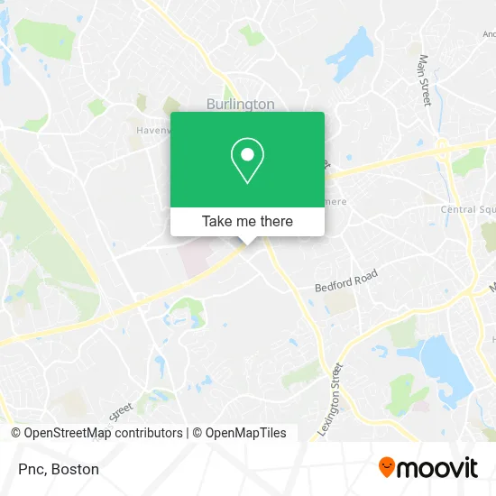
See Pnc, Burlington, on the map
Public Transit to Pnc in Burlington
Wondering how to get to Pnc in Burlington? Moovit helps you find the best way to get to Pnc with step-by-step directions from the nearest public transit station.
Moovit provides free maps and live directions to help you navigate through your city. View schedules, routes, timetables, and find out how long does it take to get to Pnc in real time.
Looking for the nearest stop or station to Pnc? Check out this list of stops closest to your destination: 31 Burlington Mall Rd; Cambridge St @ Lincoln Knoll Ln.
Bus: 134, 350, 354.
Want to see if there’s another route that gets you there at an earlier time? Moovit helps you find alternative routes or times. Get directions from and directions to Pnc easily from the Moovit App or Website.
We make riding to Pnc easy, which is why over 1.7 million users, including users in Burlington, trust Moovit as the best app for public transit. You don’t need to download an individual bus app or train app, Moovit is your all-in-one transit app that helps you find the best bus time or train time available.
For information on prices of bus, subway and train, costs and ride fares to Pnc, please check the Moovit app.
Use the app to navigate to popular places including to the airport, hospital, stadium, grocery store, mall, coffee shop, school, college, and university.
Pnc Address: 6 Wayside Rd street in Burlington
- PNC Mortgage,
- Spirit Halloween,
- Hanscom Federal Credit Union,
- School of Rock,
- Wayside,
- Wayside Commons,
- ARHAUS,
- COLD STONE CREAMERY,
- Commonwealth of Massachusetts,
- Locksmith Around The Clock,
- Cambridge St @ Wayside Rd,
- Potbelly Sandwich Shop,
- Pure Hockey,
- Wayside Rd Door Unlocking,
- AM PM Locksmith Co,
- Channel Leadership Summit,
- Helmsman Financial Strategies,
- Telesis Systems,
- PATA,
- Career Staff Development
Places Near Pnc (Burlington)
- Boston Medical Center, Boston,
- North End, Boston,
- Boston Convention & Exhibition Center, Boston,
- Faneuil Hall, Boston,
- Mgm Music Hall, Boston,
- Cheers, Boston,
- Td Garden, Boston,
- Leader Bank Pavilion (Leader Bank Pavillion), Boston,
- Seaport District, Boston,
- Boston Children's Hospital, Boston,
- Wilbur Theatre, Boston,
- Prudential Center, Boston,
- Boston Common, Boston,
- Museum Of Science, Boston,
- Quincy Market, Boston,
- House Of Blues, Boston,
- Isabella Stewart Gardner Museum, Boston,
- Castle Island, Boston,
- Massachusetts General Hospital, Boston,
- Wang Theater, Boston
How to get to popular places in Boston with public transit
Get around Burlington by public transit!
Traveling around Burlington has never been so easy. See step by step directions as you travel to any attraction, street or major public transit station. View bus and train schedules, arrival times, service alerts and detailed routes on a map, so you know exactly how to get to anywhere in Burlington.
When traveling to any destination around Burlington use Moovit's Live Directions with Get Off Notifications to know exactly where and how far to walk, how long to wait for your line, and how many stops are left. Moovit will alert you when it's time to get off — no need to constantly re-check whether yours is the next stop.
Wondering how to use public transit in Burlington or how to pay for public transit in Burlington? Moovit public transit app can help you navigate your way with public transit easily, and at minimum cost. It includes public transit fees, ticket prices, and costs. Looking for a map of Burlington public transit lines? Moovit public transit app shows all public transit maps in Burlington with all Bus, Train, Subway and Ferry routes and stops on an interactive map.
Boston has 4 transit type(s), including: Bus, Train, Subway and Ferry, operated by several transit agencies, including MBTA, Southeastern Regional Transit Authority, MetroWest Regional Transit Authority, Rhode Island Public Transit Authority, WRTA, Lowell Regional Transit Authority, Merrimack Valley Transit, Montachusett Regional Transit Authority, Cape Cod Regional Transit Authority, Brockton Area Transit Authority, Martha's Vineyard Transit Authority, the WAVE - Nantucket Regional Transit Authority, GATRA, Cape Ann Transportation Authority and Massport