How to get to Potter Pond Association by bus?
Click on the bus route to see step by step directions with maps, line arrival times and updated time schedules.
From AC Hotel Boston Cambridge, Cambridge
56 minFrom Christian A Herter Park, Boston
87 minFrom Market Basket, Somerville
83 minFrom MBTA / Alewife #6, Cambridge
42 minFrom Cambridge Hospital, Cambridge
79 minFrom Cambridge Health Alliance (CHA), Cambridge
78 minFrom Cambridge, MA, Cambridge
77 minFrom Arsenal Yards, Watertown Town
93 minFrom Chevalier Theater, Medford
108 min
Train station near Potter Pond Association in Lexington
- Waverley, 33 min walk,VIEW
What are the closest stations to Potter Pond Association?
The closest stations to Potter Pond Association are:
- Waverley is 2776 yards away, 33 min walk.
Which bus lines stop near Potter Pond Association?
These bus lines stop near Potter Pond Association: 61, 62, 76, 78.
What time is the first train to Potter Pond Association in Lexington?
The FITCHBURG is the first train that goes to Potter Pond Association in Lexington. It stops nearby at 5:39 AM.
What time is the last train to Potter Pond Association in Lexington?
The FITCHBURG is the last train that goes to Potter Pond Association in Lexington. It stops nearby at 12:11 AM.
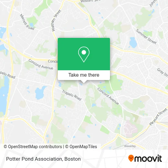
See Potter Pond Association, Lexington, on the map
Public Transit to Potter Pond Association in Lexington
Wondering how to get to Potter Pond Association in Lexington? Moovit helps you find the best way to get to Potter Pond Association with step-by-step directions from the nearest public transit station.
Moovit provides free maps and live directions to help you navigate through your city. View schedules, routes, timetables, and find out how long does it take to get to Potter Pond Association in real time.
Looking for the nearest stop or station to Potter Pond Association? Check out this list of stops closest to your destination: Waverley.
Bus: 61, 62, 76, 78.Train: FITCHBURG.
Want to see if there’s another route that gets you there at an earlier time? Moovit helps you find alternative routes or times. Get directions from and directions to Potter Pond Association easily from the Moovit App or Website.
We make riding to Potter Pond Association easy, which is why over 1.7 million users, including users in Lexington, trust Moovit as the best app for public transit. You don’t need to download an individual bus app or train app, Moovit is your all-in-one transit app that helps you find the best bus time or train time available.
For information on prices of bus and subway, costs and ride fares to Potter Pond Association, please check the Moovit app.
Use the app to navigate to popular places including to the airport, hospital, stadium, grocery store, mall, coffee shop, school, college, and university.
Potter Pond Association Address: Potter Pond St street in Lexington
- Lexington Hills,
- Avalon at Lexington Hills,
- Wellington Crossing,
- Trapelo Rd Waltham MA,
- North Waltham, Massachusetts,
- Citizens Bank,
- Brookhaven Of Lexington,
- Waterstone of Lexington,
- Garden Ave & Wellington Lane Ave,
- Michael A. Pelosi, CPA,
- R Ferro Contracting,
- Carlton Pr & Marketing,
- World Link,
- Keys For Kids,
- Law Offices of Gaye Ozpinar,
- Friendly Ice Cream,
- Banh Mi Oi - Walth,
- Pleasant Brook Pool,
- Macys Liquors of Waltham,
- Crumbl Cookies - Waltham
Places Near Potter Pond Association (Lexington)
- Wang Theater, Boston,
- Massachusetts General Hospital, Boston,
- Cheers, Boston,
- Td Garden, Boston,
- Boston Medical Center, Boston,
- Quincy Market, Boston,
- North End, Boston,
- Seaport District, Boston,
- Faneuil Hall, Boston,
- Isabella Stewart Gardner Museum, Boston,
- Boston Convention & Exhibition Center, Boston,
- Museum Of Science, Boston,
- Boston Common, Boston,
- Leader Bank Pavilion (Leader Bank Pavillion), Boston,
- Wilbur Theatre, Boston,
- Mgm Music Hall, Boston,
- Prudential Center, Boston,
- Castle Island, Boston,
- House Of Blues, Boston,
- Boston Children's Hospital, Boston
How to get to popular places in Boston with public transit
Get around Lexington by public transit!
Traveling around Lexington has never been so easy. See step by step directions as you travel to any attraction, street or major public transit station. View bus and train schedules, arrival times, service alerts and detailed routes on a map, so you know exactly how to get to anywhere in Lexington.
When traveling to any destination around Lexington use Moovit's Live Directions with Get Off Notifications to know exactly where and how far to walk, how long to wait for your line, and how many stops are left. Moovit will alert you when it's time to get off — no need to constantly re-check whether yours is the next stop.
Wondering how to use public transit in Lexington or how to pay for public transit in Lexington? Moovit public transit app can help you navigate your way with public transit easily, and at minimum cost. It includes public transit fees, ticket prices, and costs. Looking for a map of Lexington public transit lines? Moovit public transit app shows all public transit maps in Lexington with all Bus, Train, Subway and Ferry routes and stops on an interactive map.
Boston has 4 transit type(s), including: Bus, Train, Subway and Ferry, operated by several transit agencies, including MBTA, Southeastern Regional Transit Authority, MetroWest Regional Transit Authority, Rhode Island Public Transit Authority, WRTA, Lowell Regional Transit Authority, Merrimack Valley Transit, Montachusett Regional Transit Authority, Cape Cod Regional Transit Authority, Brockton Area Transit Authority, Martha's Vineyard Transit Authority, the WAVE - Nantucket Regional Transit Authority, GATRA, Cape Ann Transportation Authority and Massport