Directions to Power Locksmith (Dedham) with public transportation
The following transit lines have routes that pass near Power Locksmith
 Bus: 34E.
- Train: FRANKLIN/FOXBORO, FOXBORO EVENT SERVICE, FAIRMOUNT.
How to get to Power Locksmith by bus?
Click on the bus route to see step by step directions with maps, line arrival times and updated time schedules.
From Jamaica Plain, Boston
46 minFrom Washington St, Boston
40 minFrom Arnold Arboretum, Boston
40 minFrom Forest Hills Station MBTA, Boston
30 minFrom Washington St, Boston
59 minFrom Jamaica Pond, Boston
51 minFrom Newton, MA, Newton
78 minFrom Jamaica Plain, Boston
53 minFrom Spaulding Rehab, Boston
46 min
How to get to Power Locksmith by train?
Click on the train route to see step by step directions with maps, line arrival times and updated time schedules.
Bus stop near Power Locksmith in Dedham
- Opp 450 Washington St, 4 min walk,VIEW
Train stations near Power Locksmith in Dedham
Bus lines to Power Locksmith in Dedham
- 34E, Forest Hills,VIEW
What are the closest stations to Power Locksmith?
The closest stations to Power Locksmith are:
- Opp 450 Washington St is 280 yards away, 4 min walk.
- Dedham Corporate Center is 764 yards away, 9 min walk.
- Readville is 4424 yards away, 54 min walk.
Which bus line stops near Power Locksmith?
34E (Walpole Center Via Washington St)
Which train line stops near Power Locksmith?
FRANKLIN/FOXBORO (#1709 | Foxboro)
What’s the nearest train station to Power Locksmith in Dedham?
The nearest train station to Power Locksmith in Dedham is Dedham Corporate Center. It’s a 9 min walk away.
What’s the nearest bus station to Power Locksmith in Dedham?
The nearest bus station to Power Locksmith in Dedham is Opp 450 Washington St. It’s a 4 min walk away.
What time is the first bus to Power Locksmith in Dedham?
The 34E is the first bus that goes to Power Locksmith in Dedham. It stops nearby at 5:00 AM.
What time is the last bus to Power Locksmith in Dedham?
The 34E is the last bus that goes to Power Locksmith in Dedham. It stops nearby at 1:20 AM.
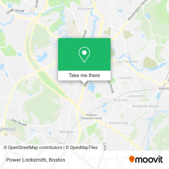
See Power Locksmith, Dedham, on the map
Public Transit to Power Locksmith in Dedham
Wondering how to get to Power Locksmith in Dedham? Moovit helps you find the best way to get to Power Locksmith with step-by-step directions from the nearest public transit station.
Moovit provides free maps and live directions to help you navigate through your city. View schedules, routes, timetables, and find out how long does it take to get to Power Locksmith in real time.
Looking for the nearest stop or station to Power Locksmith? Check out this list of stops closest to your destination: Opp 450 Washington St; Dedham Corporate Center; Readville.
Bus: 34E.Train: FRANKLIN/FOXBORO, FOXBORO EVENT SERVICE, FAIRMOUNT.
Want to see if there’s another route that gets you there at an earlier time? Moovit helps you find alternative routes or times. Get directions from and directions to Power Locksmith easily from the Moovit App or Website.
We make riding to Power Locksmith easy, which is why over 1.7 million users, including users in Dedham, trust Moovit as the best app for public transit. You don’t need to download an individual bus app or train app, Moovit is your all-in-one transit app that helps you find the best bus time or train time available.
For information on prices of bus, subway and train, costs and ride fares to Power Locksmith, please check the Moovit app.
Use the app to navigate to popular places including to the airport, hospital, stadium, grocery store, mall, coffee shop, school, college, and university.
Power Locksmith Address: 795 Providence Highway street in Dedham
- Ultimate,
- Dedham Plaza,
- Giara's Furniture Gallery,
- ATM,
- All Major Brands Appliance Repair,
- F45 Training,
- All Magic Locksmith,
- Crumbl Cookies,
- Good Plumbing Service,
- Locksmith,
- Tesla Motors,
- Center Field's Bar & Grill,
- Disc Centers of America - Dedham,
- Regenerative Medicine,
- PM Pediatric Urgent Care,
- Samsonite,
- Delta Projects,
- Best Buy,
- Cafe Paprika,
- Geek Squad
Places Near Power Locksmith (Dedham)
- Boston Medical Center, Boston,
- North End, Boston,
- Boston Convention & Exhibition Center, Boston,
- Faneuil Hall, Boston,
- Mgm Music Hall, Boston,
- Cheers, Boston,
- Td Garden, Boston,
- Leader Bank Pavilion (Leader Bank Pavillion), Boston,
- Seaport District, Boston,
- Boston Children's Hospital, Boston,
- Wilbur Theatre, Boston,
- Prudential Center, Boston,
- Boston Common, Boston,
- Museum Of Science, Boston,
- Quincy Market, Boston,
- House Of Blues, Boston,
- Isabella Stewart Gardner Museum, Boston,
- Castle Island, Boston,
- Massachusetts General Hospital, Boston,
- Wang Theater, Boston
How to get to popular places in Boston with public transit
Get around Dedham by public transit!
Traveling around Dedham has never been so easy. See step by step directions as you travel to any attraction, street or major public transit station. View bus and train schedules, arrival times, service alerts and detailed routes on a map, so you know exactly how to get to anywhere in Dedham.
When traveling to any destination around Dedham use Moovit's Live Directions with Get Off Notifications to know exactly where and how far to walk, how long to wait for your line, and how many stops are left. Moovit will alert you when it's time to get off — no need to constantly re-check whether yours is the next stop.
Wondering how to use public transit in Dedham or how to pay for public transit in Dedham? Moovit public transit app can help you navigate your way with public transit easily, and at minimum cost. It includes public transit fees, ticket prices, and costs. Looking for a map of Dedham public transit lines? Moovit public transit app shows all public transit maps in Dedham with all Bus, Train, Subway and Ferry routes and stops on an interactive map.
Boston has 4 transit type(s), including: Bus, Train, Subway and Ferry, operated by several transit agencies, including MBTA, Southeastern Regional Transit Authority, MetroWest Regional Transit Authority, Rhode Island Public Transit Authority, WRTA, Lowell Regional Transit Authority, Merrimack Valley Transit, Montachusett Regional Transit Authority, Cape Cod Regional Transit Authority, Brockton Area Transit Authority, Martha's Vineyard Transit Authority, the WAVE - Nantucket Regional Transit Authority, GATRA, Cape Ann Transportation Authority and Massport