How to get to Pregnancy Care Center - Lowell by bus?
Click on the bus route to see step by step directions with maps, line arrival times and updated time schedules.
How to get to Pregnancy Care Center - Lowell by train?
Click on the train route to see step by step directions with maps, line arrival times and updated time schedules.
Bus stop near Pregnancy Care Center - Lowell
- Woodward Ave & Courtland St, 3 min walk,VIEW
Bus lines to Pregnancy Care Center - Lowell
- 7, Kennedy Center,VIEW
What are the closest stations to Pregnancy Care Center - Lowell?
The closest stations to Pregnancy Care Center - Lowell are:
- Woodward Ave & Courtland St is 147 yards away, 3 min walk.
Which bus line stops near Pregnancy Care Center - Lowell?
7 (Lowell Voke)
Which train line stops near Pregnancy Care Center - Lowell?
LOWELL (#331 | Lowell)
What’s the nearest bus station to Pregnancy Care Center - Lowell?
The nearest bus station to Pregnancy Care Center - Lowell is Woodward Ave & Courtland St. It’s a 3 min walk away.
What time is the first bus to Pregnancy Care Center - Lowell?
The 7 is the first bus that goes to Pregnancy Care Center - Lowell. It stops nearby at 5:59 AM.
What time is the last bus to Pregnancy Care Center - Lowell?
The 7 is the last bus that goes to Pregnancy Care Center - Lowell. It stops nearby at 8:02 PM.
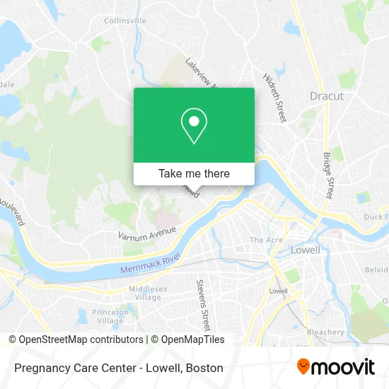
See Pregnancy Care Center - Lowell on the map
Public Transportation to Pregnancy Care Center - Lowell
Wondering how to get to Pregnancy Care Center - Lowell? Moovit helps you find the best way to get to Pregnancy Care Center - Lowell with step-by-step directions from the nearest public transit station.
Moovit provides free maps and live directions to help you navigate through your city. View schedules, routes, timetables, and find out how long does it take to get to Pregnancy Care Center - Lowell in real time.
Looking for the nearest stop or station to Pregnancy Care Center - Lowell? Check out this list of stops closest to your destination: Woodward Ave & Courtland St.
Bus: 7.Train: LOWELL.
Want to see if there’s another route that gets you there at an earlier time? Moovit helps you find alternative routes or times. Get directions from and directions to Pregnancy Care Center - Lowell easily from the Moovit App or Website.
We make riding to Pregnancy Care Center - Lowell easy, which is why over 1.7 million users, including users in Lowell, trust Moovit as the best app for public transit. You don’t need to download an individual bus app or train app, Moovit is your all-in-one transit app that helps you find the best bus time or train time available.
For information on prices of bus and train, costs and ride fares to Pregnancy Care Center - Lowell, please check the Moovit app.
Use the app to navigate to popular places including to the airport, hospital, stadium, grocery store, mall, coffee shop, school, college, and university.
Pregnancy Care Center - Lowell Address: 158 Mammoth Rd street in Lowell
- Perpetual Eucharistic Adoration,
- Cub Scout Pack 7,
- Lowell School District,
- Ezra Prayer Ministry,
- Pizza Planet,
- Mira Ve,
- Jhaims Project Services,
- Fernanda Silva Hairstylist,
- Kurcel Realty Trust,
- Amazon Locker-Ankle,
- Atm 7eleven, Inc.,
- 63 Mammoth Rd Parking,
- Navy Federal Credit Union,
- Shah's Halal Food,
- Reliable Refrigeration,
- A L Prime Energy,
- Master Plastering & Services,
- Techpro Lowell,
- Harveylabs DJ Entertainment,
- Austen Densmore - TD Wealth Financial Advisor
Places Near Pregnancy Care Center - Lowell
- Museum Of Science, Boston,
- North End, Boston,
- House Of Blues, Boston,
- Leader Bank Pavilion (Leader Bank Pavillion), Boston,
- Isabella Stewart Gardner Museum, Boston,
- Massachusetts General Hospital, Boston,
- Wilbur Theatre, Boston,
- Castle Island, Boston,
- Wang Theater, Boston,
- Mgm Music Hall, Boston,
- Cheers, Boston,
- Faneuil Hall, Boston,
- Boston Medical Center, Boston,
- Seaport District, Boston,
- Boston Convention & Exhibition Center, Boston,
- Quincy Market, Boston,
- Prudential Center, Boston,
- Boston Common, Boston,
- Boston Children's Hospital, Boston,
- Td Garden, Boston
How to get to popular places in Boston with public transit
Get around Lowell by public transit!
Traveling around Lowell has never been so easy. See step by step directions as you travel to any attraction, street or major public transit station. View bus and train schedules, arrival times, service alerts and detailed routes on a map, so you know exactly how to get to anywhere in Lowell.
When traveling to any destination around Lowell use Moovit's Live Directions with Get Off Notifications to know exactly where and how far to walk, how long to wait for your line, and how many stops are left. Moovit will alert you when it's time to get off — no need to constantly re-check whether yours is the next stop.
Wondering how to use public transit in Lowell or how to pay for public transit in Lowell? Moovit public transit app can help you navigate your way with public transit easily, and at minimum cost. It includes public transit fees, ticket prices, and costs. Looking for a map of Lowell public transit lines? Moovit public transit app shows all public transit maps in Lowell with all Bus, Train, Subway and Ferry routes and stops on an interactive map.
Boston has 4 transit type(s), including: Bus, Train, Subway and Ferry, operated by several transit agencies, including MBTA, Southeastern Regional Transit Authority, MetroWest Regional Transit Authority, Rhode Island Public Transit Authority, WRTA, Lowell Regional Transit Authority, Merrimack Valley Transit, Montachusett Regional Transit Authority, Cape Cod Regional Transit Authority, Brockton Area Transit Authority, Martha's Vineyard Transit Authority, the WAVE - Nantucket Regional Transit Authority, GATRA, Cape Ann Transportation Authority and Massport