Directions to Prime Mice Proofing (Boston) with public transportation
The following transit lines have routes that pass near Prime Mice Proofing
 Bus: 34, 34E, 40, 50.
- Train: NEEDHAM, FRANKLIN/FOXBORO, PROVIDENCE/STOUGHTON.
- Subway: ORANGE LINE.
How to get to Prime Mice Proofing by bus?
Click on the bus route to see step by step directions with maps, line arrival times and updated time schedules.
From Tufts Medical Center - Biewend building, Boston
49 minFrom The Swan Boats, Boston
55 minFrom Raffles Boston Back Bay Hotel & Residences, Boston
50 minFrom Homewood Suites by Hilton Boston Brookline-Longwood Medical, Brookline
39 minFrom Alumni Stadium, Boston
67 minFrom Central Square, Cambridge
70 minFrom Boston Public Garden, Boston
54 minFrom Moxy Hotel, Boston
48 minFrom Bidmc, Boston
42 minFrom Hewlett Room 32-G882 (MIT Stata Center), Cambridge
68 min
How to get to Prime Mice Proofing by train?
Click on the train route to see step by step directions with maps, line arrival times and updated time schedules.
How to get to Prime Mice Proofing by subway?
Click on the subway route to see step by step directions with maps, line arrival times and updated time schedules.
From Tufts Medical Center - Biewend building, Boston
63 minFrom The Swan Boats, Boston
69 minFrom Raffles Boston Back Bay Hotel & Residences, Boston
61 minFrom Homewood Suites by Hilton Boston Brookline-Longwood Medical, Brookline
88 minFrom Alumni Stadium, Boston
116 minFrom Central Square, Cambridge
73 minFrom Boston Public Garden, Boston
70 minFrom Moxy Hotel, Boston
63 minFrom Bidmc, Boston
73 minFrom Hewlett Room 32-G882 (MIT Stata Center), Cambridge
76 min
Train stations near Prime Mice Proofing in Boston
Bus stop near Prime Mice Proofing in Boston
- Washington St @ Durnell Ave, 3 min walk,VIEW
Bus lines to Prime Mice Proofing in Boston
What are the closest stations to Prime Mice Proofing?
The closest stations to Prime Mice Proofing are:
- Bellevue is 87 yards away, 2 min walk.
- Washington St @ Durnell Ave is 184 yards away, 3 min walk.
- Hyde Park is 2937 yards away, 35 min walk.
Which bus lines stop near Prime Mice Proofing?
These bus lines stop near Prime Mice Proofing: 34, 34E, 40.
Which train line stops near Prime Mice Proofing?
NEEDHAM (#625 | Needham Heights)
Which subway line stops near Prime Mice Proofing?
ORANGE LINE (Forest Hills)
What’s the nearest train station to Prime Mice Proofing in Boston?
The nearest train station to Prime Mice Proofing in Boston is Bellevue. It’s a 2 min walk away.
What’s the nearest bus station to Prime Mice Proofing in Boston?
The nearest bus station to Prime Mice Proofing in Boston is Washington St @ Durnell Ave. It’s a 3 min walk away.
What time is the first train to Prime Mice Proofing in Boston?
The PROVIDENCE/STOUGHTON is the first train that goes to Prime Mice Proofing in Boston. It stops nearby at 5:08 AM.
What time is the last train to Prime Mice Proofing in Boston?
The PROVIDENCE/STOUGHTON is the last train that goes to Prime Mice Proofing in Boston. It stops nearby at 12:22 AM.
What time is the first bus to Prime Mice Proofing in Boston?
The 34 is the first bus that goes to Prime Mice Proofing in Boston. It stops nearby at 4:38 AM.
What time is the last bus to Prime Mice Proofing in Boston?
The 34E is the last bus that goes to Prime Mice Proofing in Boston. It stops nearby at 1:33 AM.
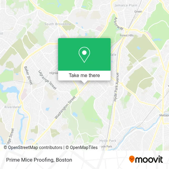
See Prime Mice Proofing, Boston, on the map
Public Transit to Prime Mice Proofing in Boston
Wondering how to get to Prime Mice Proofing in Boston? Moovit helps you find the best way to get to Prime Mice Proofing with step-by-step directions from the nearest public transit station.
Moovit provides free maps and live directions to help you navigate through your city. View schedules, routes, timetables, and find out how long does it take to get to Prime Mice Proofing in real time.
Looking for the nearest stop or station to Prime Mice Proofing? Check out this list of stops closest to your destination: Bellevue; Washington St @ Durnell Ave; Hyde Park.
Bus: 34, 34E, 40, 50.Train: NEEDHAM, FRANKLIN/FOXBORO, PROVIDENCE/STOUGHTON.Subway: ORANGE LINE.
Want to see if there’s another route that gets you there at an earlier time? Moovit helps you find alternative routes or times. Get directions from and directions to Prime Mice Proofing easily from the Moovit App or Website.
We make riding to Prime Mice Proofing easy, which is why over 1.7 million users, including users in Boston, trust Moovit as the best app for public transit. You don’t need to download an individual bus app or train app, Moovit is your all-in-one transit app that helps you find the best bus time or train time available.
For information on prices of bus, subway and train, costs and ride fares to Prime Mice Proofing, please check the Moovit app.
Use the app to navigate to popular places including to the airport, hospital, stadium, grocery store, mall, coffee shop, school, college, and university.
Prime Mice Proofing Address: 356 Beech St street in Boston
- Washington S Building 4572,
- Stony Brook Commons,
- Roslindale,
- Blue Ledge Co-OP Apartments,
- Triple Crown Services,
- Metropolitan Hill / Beach Street, Massachusetts,
- Botanica Patron Santiago (Botanica Parton Santiago),
- Free Your Mind Publishing,
- MoneyGram,
- Elpicha Barbershop (El Picha Barbershop),
- DUNKIN',
- Xfinity,
- Stony Brook Reservation,
- Odimas International DJ /Club Gears,
- RMV,
- Valentini Landscaping,
- Best Selling Flowers,
- Brian G Donovan Construction C,
- Punta Cana Beer and Wi,
- Arbri Cafe
Places Near Prime Mice Proofing (Boston)
- Prudential Center, Boston,
- Castle Island, Boston,
- North End, Boston,
- Seaport District, Boston,
- House Of Blues, Boston,
- Boston Convention & Exhibition Center, Boston,
- Quincy Market, Boston,
- Td Garden, Boston,
- Faneuil Hall, Boston,
- Boston Medical Center, Boston,
- Mgm Music Hall, Boston,
- Museum Of Science, Boston,
- Cheers, Boston,
- Leader Bank Pavilion (Leader Bank Pavillion), Boston,
- Wang Theater, Boston,
- Massachusetts General Hospital, Boston,
- Wilbur Theatre, Boston,
- Boston Children's Hospital, Boston,
- Boston Common, Boston,
- Isabella Stewart Gardner Museum, Boston
How to get to popular places in Boston with public transit
Get around Boston by public transit!
Traveling around Boston has never been so easy. See step by step directions as you travel to any attraction, street or major public transit station. View bus and train schedules, arrival times, service alerts and detailed routes on a map, so you know exactly how to get to anywhere in Boston.
When traveling to any destination around Boston use Moovit's Live Directions with Get Off Notifications to know exactly where and how far to walk, how long to wait for your line, and how many stops are left. Moovit will alert you when it's time to get off — no need to constantly re-check whether yours is the next stop.
Wondering how to use public transit in Boston or how to pay for public transit in Boston? Moovit public transit app can help you navigate your way with public transit easily, and at minimum cost. It includes public transit fees, ticket prices, and costs. Looking for a map of Boston public transit lines? Moovit public transit app shows all public transit maps in Boston with all Bus, Train, Subway and Ferry routes and stops on an interactive map.
Boston has 4 transit type(s), including: Bus, Train, Subway and Ferry, operated by several transit agencies, including MBTA, Southeastern Regional Transit Authority, MetroWest Regional Transit Authority, Rhode Island Public Transit Authority, WRTA, Lowell Regional Transit Authority, Merrimack Valley Transit, Montachusett Regional Transit Authority, Cape Cod Regional Transit Authority, Brockton Area Transit Authority, Martha's Vineyard Transit Authority, the WAVE - Nantucket Regional Transit Authority, GATRA, Cape Ann Transportation Authority and Massport