How to get to Prince Lobel Tye by bus?
Click on the bus route to see step by step directions with maps, line arrival times and updated time schedules.
How to get to Prince Lobel Tye by train?
Click on the train route to see step by step directions with maps, line arrival times and updated time schedules.
Bus stops near Prince Lobel Tye in Andover
Train station near Prince Lobel Tye in Andover
- Ballardvale, 52 min walk,VIEW
What are the closest stations to Prince Lobel Tye?
The closest stations to Prince Lobel Tye are:
- Main Street & Morton Street is 139 yards away, 2 min walk.
- Old Town Hall is 219 yards away, 3 min walk.
- Ballardvale is 4452 yards away, 52 min walk.
Which bus line stops near Prince Lobel Tye?
2 (Main And School)
Which train line stops near Prince Lobel Tye?
HAVERHILL (#224 | North Station)
What’s the nearest bus station to Prince Lobel Tye in Andover?
The nearest bus station to Prince Lobel Tye in Andover is Main Street & Morton Street. It’s a 2 min walk away.
What time is the first train to Prince Lobel Tye in Andover?
The HAVERHILL is the first train that goes to Prince Lobel Tye in Andover. It stops nearby at 4:58 AM.
What time is the last train to Prince Lobel Tye in Andover?
The HAVERHILL is the last train that goes to Prince Lobel Tye in Andover. It stops nearby at 12:31 AM.
What time is the first bus to Prince Lobel Tye in Andover?
The 2 is the first bus that goes to Prince Lobel Tye in Andover. It stops nearby at 5:16 AM.
What time is the last bus to Prince Lobel Tye in Andover?
The 2 is the last bus that goes to Prince Lobel Tye in Andover. It stops nearby at 9:28 PM.
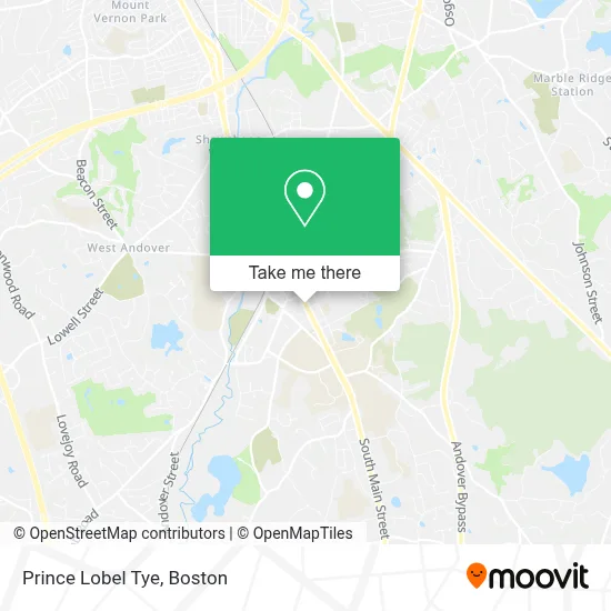
See Prince Lobel Tye, Andover, on the map
Public Transit to Prince Lobel Tye in Andover
Wondering how to get to Prince Lobel Tye in Andover? Moovit helps you find the best way to get to Prince Lobel Tye with step-by-step directions from the nearest public transit station.
Moovit provides free maps and live directions to help you navigate through your city. View schedules, routes, timetables, and find out how long does it take to get to Prince Lobel Tye in real time.
Looking for the nearest stop or station to Prince Lobel Tye? Check out this list of stops closest to your destination: Main Street & Morton Street; Old Town Hall; Ballardvale.
Bus: 2, 21.Train: HAVERHILL.
Want to see if there’s another route that gets you there at an earlier time? Moovit helps you find alternative routes or times. Get directions from and directions to Prince Lobel Tye easily from the Moovit App or Website.
We make riding to Prince Lobel Tye easy, which is why over 1.7 million users, including users in Andover, trust Moovit as the best app for public transit. You don’t need to download an individual bus app or train app, Moovit is your all-in-one transit app that helps you find the best bus time or train time available.
For information on prices of bus and train, costs and ride fares to Prince Lobel Tye, please check the Moovit app.
Use the app to navigate to popular places including to the airport, hospital, stadium, grocery store, mall, coffee shop, school, college, and university.
Prince Lobel Tye Address: 90 Main St Floor 2 street in Andover
- Greater Salem Chamber of Commerc,
- Advisors Living - Andover,
- Brooksy's Brick Oven & Bar,
- Medical Massage,
- Andover Chamber Music Series,
- Massachussets Highway Department,
- Susan Ellis,
- Sharon Coskren,
- The Concierge Realtor,
- Russell Cellular,
- Style Refinery,
- The Autograph Tavern,
- Ari's Aesthetics & Academy,
- Dianna Maldonado - Citizens Bank, Home Mortgages,
- DUNKIN',
- Colpitts Travel Center of Andover,
- Andover Copd Clinic,
- Tomlinson & Hatch, LLC,
- FedEx,
- Hurchik John M MD
Places Near Prince Lobel Tye (Andover)
- Mgm Music Hall, Boston,
- Quincy Market, Boston,
- Td Garden, Boston,
- Boston Common, Boston,
- House Of Blues, Boston,
- Wilbur Theatre, Boston,
- Isabella Stewart Gardner Museum, Boston,
- Leader Bank Pavilion (Leader Bank Pavillion), Boston,
- Boston Children's Hospital, Boston,
- Boston Medical Center, Boston,
- Wang Theater, Boston,
- Museum Of Science, Boston,
- Massachusetts General Hospital, Boston,
- Castle Island, Boston,
- Prudential Center, Boston,
- Cheers, Boston,
- Faneuil Hall, Boston,
- Seaport District, Boston,
- North End, Boston,
- Boston Convention & Exhibition Center, Boston
How to get to popular places in Boston with public transit
Get around Andover by public transit!
Traveling around Andover has never been so easy. See step by step directions as you travel to any attraction, street or major public transit station. View bus and train schedules, arrival times, service alerts and detailed routes on a map, so you know exactly how to get to anywhere in Andover.
When traveling to any destination around Andover use Moovit's Live Directions with Get Off Notifications to know exactly where and how far to walk, how long to wait for your line, and how many stops are left. Moovit will alert you when it's time to get off — no need to constantly re-check whether yours is the next stop.
Wondering how to use public transit in Andover or how to pay for public transit in Andover? Moovit public transit app can help you navigate your way with public transit easily, and at minimum cost. It includes public transit fees, ticket prices, and costs. Looking for a map of Andover public transit lines? Moovit public transit app shows all public transit maps in Andover with all Bus, Train, Subway and Ferry routes and stops on an interactive map.
Boston has 4 transit type(s), including: Bus, Train, Subway and Ferry, operated by several transit agencies, including MBTA, Southeastern Regional Transit Authority, MetroWest Regional Transit Authority, Rhode Island Public Transit Authority, WRTA, Lowell Regional Transit Authority, Merrimack Valley Transit, Montachusett Regional Transit Authority, Cape Cod Regional Transit Authority, Brockton Area Transit Authority, Martha's Vineyard Transit Authority, the WAVE - Nantucket Regional Transit Authority, GATRA, Cape Ann Transportation Authority and Massport