How to get to Project Destined by bus?
Click on the bus route to see step by step directions with maps, line arrival times and updated time schedules.
From Del Ray, Alexandria
64 minFrom Navy Lodge, Washington
106 minFrom Mwaa Fire Station 301, Arlington County
83 minFrom Riverdale, MD, Prince George's County
109 minFrom Echostage, Washington
63 minFrom D.C. Jail, Washington
44 minFrom George H.W. Bush Center For Intelligence (CIA Headquarters), Fairfax County
113 minFrom Days Inn by Wyndham Arlington Pentagon, Arlington County
55 minFrom U.S. Naval Research Laboratory - NRL, Washington
102 minFrom Germantown Md, Washington
24 min
How to get to Project Destined by train?
Click on the train route to see step by step directions with maps, line arrival times and updated time schedules.
How to get to Project Destined by metro?
Click on the metro route to see step by step directions with maps, line arrival times and updated time schedules.
Bus stops near Project Destined in Washington
Metro stations near Project Destined in Washington
Bus lines to Project Destined in Washington
What are the closest stations to Project Destined?
The closest stations to Project Destined are:
- P St Nw+17 St NW is 135 yards away, 2 min walk.
- 16 St Nw+U St NW is 137 yards away, 2 min walk.
- U St Nw+New Hampshire Av NW is 149 yards away, 3 min walk.
- 16th St & P St NW is 289 yards away, 4 min walk.
- Farragut North - NE Corner Connecticut Ave. &Amp; K St., NW (Elevator) is 484 yards away, 6 min walk.
- 14 St Nw+T St NW is 663 yards away, 9 min walk.
- Farragut West is 715 yards away, 9 min walk.
- U Street is 1520 yards away, 18 min walk.
Which bus lines stop near Project Destined?
These bus lines stop near Project Destined: A58, C51, D60, D6X.
Which train line stops near Project Destined?
MARC (Outbound - Washington)
Which metro lines stop near Project Destined?
These metro lines stop near Project Destined: GREEN, RED, YELLOW.
What’s the nearest metro station to Project Destined in Washington?
The nearest metro station to Project Destined in Washington is Farragut North - NE Corner Connecticut Ave. &Amp; K St., NW (Elevator). It’s a 6 min walk away.
What’s the nearest bus station to Project Destined in Washington?
The nearest bus stations to Project Destined in Washington are P St Nw+17 St NW and 16 St Nw+U St NW. The closest one is a 2 min walk away.
What time is the first metro to Project Destined in Washington?
The GREEN is the first metro that goes to Project Destined in Washington. It stops nearby at 5:18 AM.
What time is the last metro to Project Destined in Washington?
The GREEN is the last metro that goes to Project Destined in Washington. It stops nearby at 12:23 AM.
What time is the first bus to Project Destined in Washington?
The C53 is the first bus that goes to Project Destined in Washington. It stops nearby at 3:01 AM.
What time is the last bus to Project Destined in Washington?
The C53 is the last bus that goes to Project Destined in Washington. It stops nearby at 3:24 AM.
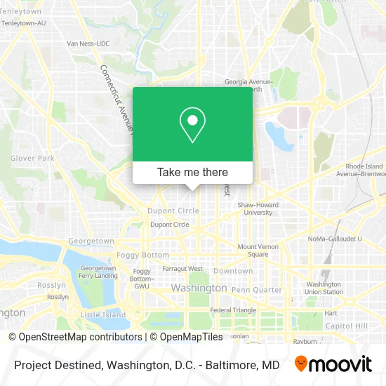
See Project Destined, Washington, on the map
Public Transit to Project Destined in Washington
Wondering how to get to Project Destined in Washington? Moovit helps you find the best way to get to Project Destined with step-by-step directions from the nearest public transit station.
Moovit provides free maps and live directions to help you navigate through your city. View schedules, routes, timetables, and find out how long does it take to get to Project Destined in real time.
Looking for the nearest stop or station to Project Destined? Check out this list of stops closest to your destination: P St Nw+17 St NW; 16 St Nw+U St NW; U St Nw+New Hampshire Av NW; 16th St & P St NW; Farragut North - NE Corner Connecticut Ave. &Amp; K St.; 14 St Nw+T St NW; Farragut West; U Street.
Bus: A58, C51, D60, D6X, C91, C53.Train: MARC.Metro: GREEN, RED, YELLOW, BLUE, ORANGE, SILVER.
Want to see if there’s another route that gets you there at an earlier time? Moovit helps you find alternative routes or times. Get directions from and directions to Project Destined easily from the Moovit App or Website.
We make riding to Project Destined easy, which is why over 1.7 million users, including users in Washington, trust Moovit as the best app for public transit. You don’t need to download an individual bus app or train app, Moovit is your all-in-one transit app that helps you find the best bus time or train time available.
For information on prices of bus, metro and train, costs and ride fares to Project Destined, please check the Moovit app.
Use the app to navigate to popular places including to the airport, hospital, stadium, grocery store, mall, coffee shop, school, college, and university.
Project Destined Address: 1623 S St NW street in Washington
- Northeast District Nanbpwc,
- 17th And Riggs,
- Windsor Inn (Windsor Hotel Washington DC),
- Windsor Hotel Washington Dc,
- Hair by Subairi at Cl Studio,
- Western Union,
- Georgetown Sun Cryo,
- Threefifty Bakery And Coffee Bar,
- Zeta Phi Beta Sorority Inc. International Headquarters,
- Lyle's,
- Lyle Hotel,
- Pamela Finnerty,
- Lyle DC Washington,
- Peabody Conservatory of the Johns Hopkins University,
- Medics Usa - Primary And Walk-In Care,
- The Incubator,
- Steam Cafe & Lounge,
- House of the Temple,
- Blooms Collective,
- Flood Damage Pro Of Dc
Places Near Project Destined (Washington)
- Westfield Montgomery Mall, Montgomery County,
- Capital One Arena, Washington,
- Rock Creek Tennis Center, Washington,
- Georgetown, Washington,
- Amazon Hq2, Arlington County,
- Washington National Cathedral, Washington,
- Basilica of the National Shrine, Washington,
- M&T Bank Stadium, Baltimore,
- Warner Theatre, Washington,
- National Zoo, Washington,
- Camden Yards, Baltimore,
- The Anthem, Washington,
- Museum Of The Bible, Washington,
- Washington DC VA Medical Center, Washington,
- National Theatre, Washington,
- National Museum of African American History and Culture, Washington,
- Pennsylvania Ave NW (3rd st and pennsylvania), Washington,
- Sibley Memorial Hospital, Washington,
- Marriott Marquis Washington, DC, Washington,
- PG Mall, Prince George's County
How to get to popular places in Washington, D.C. - Baltimore, MD with public transit
Get around Washington by public transit!
Traveling around Washington has never been so easy. See step by step directions as you travel to any attraction, street or major public transit station. View bus and train schedules, arrival times, service alerts and detailed routes on a map, so you know exactly how to get to anywhere in Washington.
When traveling to any destination around Washington use Moovit's Live Directions with Get Off Notifications to know exactly where and how far to walk, how long to wait for your line, and how many stops are left. Moovit will alert you when it's time to get off — no need to constantly re-check whether yours is the next stop.
Wondering how to use public transit in Washington or how to pay for public transit in Washington? Moovit public transit app can help you navigate your way with public transit easily, and at minimum cost. It includes public transit fees, ticket prices, and costs. Looking for a map of Washington public transit lines? Moovit public transit app shows all public transit maps in Washington with all Bus, Train, Metro, Light Rail and Ferry routes and stops on an interactive map.
Washington, D.C. - Baltimore, MD has 5 transit type(s), including: Bus, Train, Metro, Light Rail and Ferry, operated by several transit agencies, including WMATA, Montgomery County Ride On, Fairfax Connector, TheBus, PRTC, DASH - Alexandria, Arlington Transit (ART), RTA of Central Maryland, MDOT MTA, MDOT MTA Light RailLink, MDOT MTA Commuter Bus, MDOT MTA Local Bus, FXBGO!, Virginia Railway Express (VRE) and MARC