How to get to The Actors' Center by bus?
Click on the bus route to see step by step directions with maps, line arrival times and updated time schedules.
From Del Ray, Alexandria
62 minFrom Foreign Service Institute, Arlington County
69 minFrom Chevy Chase Metro Plaza, Washington
44 minFrom Laurel MD-195, Montgomery County
48 minFrom Joint Base Myer – Henderson Hall (JBMHH) | Fort Myer area, Arlington County
53 minFrom Naval Research Lab, Washington
101 minFrom Riverdale, MD, Prince George's County
107 minFrom U.S. Naval Research Laboratory - NRL, Washington
101 minFrom Navy Lodge, Washington
105 minFrom Eastern High School, Washington
49 min
How to get to The Actors' Center by train?
Click on the train route to see step by step directions with maps, line arrival times and updated time schedules.
How to get to The Actors' Center by metro?
Click on the metro route to see step by step directions with maps, line arrival times and updated time schedules.
Bus stops near The Actors' Center in Washington
Metro stations near The Actors' Center in Washington
Bus lines to The Actors' Center in Washington
What are the closest stations to The Actors' Center?
The closest stations to The Actors' Center are:
- 16 St Nw+Corcoran St NW is 97 yards away, 2 min walk.
- Dupont Circle - Connecticut Ave. &Amp; Q St. NW is 116 yards away, 2 min walk.
- U Street is 179 yards away, 3 min walk.
- U St Nw+Florida Av NW is 257 yards away, 4 min walk.
- 16th St & P St NW is 373 yards away, 5 min walk.
- 16 St Nw+U St NW is 436 yards away, 6 min walk.
- 14 St Nw+R St NW is 454 yards away, 6 min walk.
- Farragut West is 918 yards away, 11 min walk.
Which bus lines stop near The Actors' Center?
These bus lines stop near The Actors' Center: C51, C53, D60.
Which train line stops near The Actors' Center?
MARC (Outbound - Washington)
Which metro lines stop near The Actors' Center?
These metro lines stop near The Actors' Center: GREEN, RED, YELLOW.
What’s the nearest metro station to The Actors' Center in Washington?
The nearest metro station to The Actors' Center in Washington is Dupont Circle - Connecticut Ave. &Amp; Q St. NW. It’s a 2 min walk away.
What’s the nearest bus station to The Actors' Center in Washington?
The nearest bus station to The Actors' Center in Washington is 16 St Nw+Corcoran St NW. It’s a 2 min walk away.
What time is the first metro to The Actors' Center in Washington?
The GREEN is the first metro that goes to The Actors' Center in Washington. It stops nearby at 5:18 AM.
What time is the last metro to The Actors' Center in Washington?
The GREEN is the last metro that goes to The Actors' Center in Washington. It stops nearby at 12:23 AM.
What time is the first bus to The Actors' Center in Washington?
The C53 is the first bus that goes to The Actors' Center in Washington. It stops nearby at 3:01 AM.
What time is the last bus to The Actors' Center in Washington?
The C53 is the last bus that goes to The Actors' Center in Washington. It stops nearby at 3:23 AM.
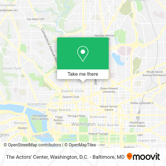
See The Actors' Center, Washington, on the map
Public Transit to The Actors' Center in Washington
Wondering how to get to The Actors' Center in Washington? Moovit helps you find the best way to get to The Actors' Center with step-by-step directions from the nearest public transit station.
Moovit provides free maps and live directions to help you navigate through your city. View schedules, routes, timetables, and find out how long does it take to get to The Actors' Center in real time.
Looking for the nearest stop or station to The Actors' Center? Check out this list of stops closest to your destination: 16 St Nw+Corcoran St NW; Dupont Circle - Connecticut Ave. &Amp; Q St. NW; U Street; U St Nw+Florida Av NW; 16th St & P St NW; 16 St Nw+U St NW; 14 St Nw+R St NW; Farragut West.
Bus: C51, C53, D60, 315, 325.Train: MARC.Metro: GREEN, RED, YELLOW, BLUE, ORANGE, SILVER.
Want to see if there’s another route that gets you there at an earlier time? Moovit helps you find alternative routes or times. Get directions from and directions to The Actors' Center easily from the Moovit App or Website.
We make riding to The Actors' Center easy, which is why over 1.7 million users, including users in Washington, trust Moovit as the best app for public transit. You don’t need to download an individual bus app or train app, Moovit is your all-in-one transit app that helps you find the best bus time or train time available.
For information on prices of bus, metro and train, costs and ride fares to The Actors' Center, please check the Moovit app.
Use the app to navigate to popular places including to the airport, hospital, stadium, grocery store, mall, coffee shop, school, college, and university.
The Actors' Center Address: 1810 16th St NW street in Washington
- Windsor Hotel Washington Dc,
- Windsor Inn (Windsor Hotel Washington DC),
- House of the Temple,
- Haynes Plumbing,
- Peabody Conservatory of the Johns Hopkins University,
- 17th And Riggs,
- Hair by Subairi at Cl Studio,
- Northeast District Nanbpwc,
- Georgetown Sun Cryo,
- Threefifty Bakery And Coffee Bar,
- Western Union,
- Flood Damage Pro Of Dc,
- Blooms Collective,
- Dupont Circle Embassy Inn,
- Pamela Finnerty,
- Shout Mouse Press,
- Steven Henry - Continental Properties,
- Vogel Realty Inc,
- Embassy Inn Hotel,
- Therapeutic Links Behavioral Health Services
Places Near The Actors' Center (Washington)
- Museum Of The Bible, Washington,
- Capital One Arena, Washington,
- Marriott Marquis Washington, DC, Washington,
- Basilica of the National Shrine, Washington,
- Sibley Memorial Hospital, Washington,
- Westfield Montgomery Mall, Montgomery County,
- Rock Creek Tennis Center, Washington,
- Warner Theatre, Washington,
- National Museum of African American History and Culture, Washington,
- M&T Bank Stadium, Baltimore,
- Washington National Cathedral, Washington,
- National Theatre, Washington,
- Amazon Hq2, Arlington County,
- Camden Yards, Baltimore,
- The Anthem, Washington,
- National Zoo, Washington,
- Washington DC VA Medical Center, Washington,
- PG Mall, Prince George's County,
- Pennsylvania Ave NW (3rd st and pennsylvania), Washington,
- Georgetown, Washington
How to get to popular places in Washington, D.C. - Baltimore, MD with public transit
Get around Washington by public transit!
Traveling around Washington has never been so easy. See step by step directions as you travel to any attraction, street or major public transit station. View bus and train schedules, arrival times, service alerts and detailed routes on a map, so you know exactly how to get to anywhere in Washington.
When traveling to any destination around Washington use Moovit's Live Directions with Get Off Notifications to know exactly where and how far to walk, how long to wait for your line, and how many stops are left. Moovit will alert you when it's time to get off — no need to constantly re-check whether yours is the next stop.
Wondering how to use public transit in Washington or how to pay for public transit in Washington? Moovit public transit app can help you navigate your way with public transit easily, and at minimum cost. It includes public transit fees, ticket prices, and costs. Looking for a map of Washington public transit lines? Moovit public transit app shows all public transit maps in Washington with all Bus, Train, Metro, Light Rail and Ferry routes and stops on an interactive map.
Washington, D.C. - Baltimore, MD has 5 transit type(s), including: Bus, Train, Metro, Light Rail and Ferry, operated by several transit agencies, including WMATA, Montgomery County Ride On, Fairfax Connector, TheBus, PRTC, DASH - Alexandria, Arlington Transit (ART), RTA of Central Maryland, MDOT MTA, MDOT MTA Light RailLink, MDOT MTA Commuter Bus, MDOT MTA Local Bus, FXBGO!, Virginia Railway Express (VRE) and MARC