How to get to Promaco by bus?
Click on the bus route to see step by step directions with maps, line arrival times and updated time schedules.
From FABRIK, Humanes De Madrid
64 minFrom Cementerio De Getafe, Getafe
75 minFrom Hospital Universitario De Fuenlabrada., Fuenlabrada
67 minFrom Tanatorio Fuenlabrada, Fuenlabrada
53 minFrom Avenida del Vivero S/N, Fuenlabrada
68 minFrom Tanatorio Getafe, Getafe
72 minFrom Centro De Salud El Arroyo, Fuenlabrada
65 minFrom Poligono Industrial Cobo Calleja, Fuenlabrada
42 minFrom Calle de los Angeles 9, Fuenlabrada
60 minFrom El Señorío De Illescas, Illescas
30 min
Bus stops near Promaco in Torrejón De La Calzada
Bus lines to Promaco in Torrejón De La Calzada
- 460, Madrid (Plaza Elíptica) - Parla - Batres,VIEW
- 464, Madrid (Plaza Elíptica) - Parla - Yunclillos,VIEW
- 466, Parla - Valdemoro,VIEW
- VAC023, Madrid (Plaza Elíptica) - Torrejón de la Calzada - Toledo,VIEW
- VAC152, Madrid (Estación Sur) - Añover de Tajo - Mora,VIEW
- 463, Párroco D. Régulo G. Masegosa - Esturión,VIEW
What are the closest stations to Promaco?
The closest stations to Promaco are:
- Real - C.º De Cubas is 291 meters away, 4 min walk.
- Real - Peñuelas is 314 meters away, 5 min walk.
Which bus lines stop near Promaco?
These bus lines stop near Promaco: 463, 464, VAC023.
What’s the nearest bus station to Promaco in Torrejón De La Calzada?
The nearest bus station to Promaco in Torrejón De La Calzada is Real - C.º De Cubas. It’s a 4 min walk away.
What time is the first bus to Promaco in Torrejón De La Calzada?
The 463 is the first bus that goes to Promaco in Torrejón De La Calzada. It stops nearby at 5:56 AM.
What time is the last bus to Promaco in Torrejón De La Calzada?
The VAC023 is the last bus that goes to Promaco in Torrejón De La Calzada. It stops nearby at 12:31 AM.
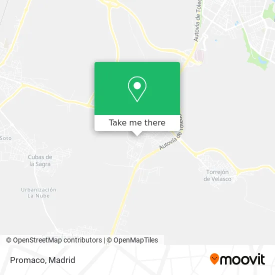
See Promaco, Torrejón De La Calzada, on the map
Public Transit to Promaco in Torrejón De La Calzada
Wondering how to get to Promaco in Torrejón De La Calzada? Moovit helps you find the best way to get to Promaco with step-by-step directions from the nearest public transit station.
Moovit provides free maps and live directions to help you navigate through your city. View schedules, routes, timetables, and find out how long does it take to get to Promaco in real time.
Looking for the nearest stop or station to Promaco? Check out this list of stops closest to your destination: Real - C.º De Cubas; Real - Peñuelas.
Bus: 463, 464, VAC023, 460, 466, VAC152.
Want to see if there’s another route that gets you there at an earlier time? Moovit helps you find alternative routes or times. Get directions from and directions to Promaco easily from the Moovit App or Website.
We make riding to Promaco easy, which is why over 1.5 million users, including users in Torrejón De La Calzada, trust Moovit as the best app for public transit. You don’t need to download an individual bus app or train app, Moovit is your all-in-one transit app that helps you find the best bus time or train time available.
For information on prices of bus and metro, costs and ride fares to Promaco, please check the Moovit app.
Use the app to navigate to popular places including to the airport, hospital, stadium, grocery store, mall, coffee shop, school, college, and university.
Promaco Address: Calle Camino Cubas, 28991 Torrejón de la Calzada street in Torrejón De La Calzada
- Promociones y Construcciones Pergo,
- Muñoz Díaz m,
- Tecrosa,
- Biorganic Natural Foods,
- Juan Jesús Cam,
- Restaurante El Jardin Pedraza,
- Camino de Cubas s/n,
- Calle Navalcarnero,
- Joifra Metal,
- Desguaces La Torre,
- Calle Toledo, 19,
- Biblioteca María Moliner Torrejón de la Calzada,
- Calle Real, 1,
- Phone Store,
- Restaurante Comely,
- Comuvarte Distribución,
- Mix House,
- Nirvanapara Club,
- Sushi,
- Primepellet
Places Near Promaco (Torrejón De La Calzada)
- Centro Comercial Oasiz Madrid, Área Metropolitana De Madrid Y Corredor Del Henares,
- Palacio De Vistalegre, Área Metropolitana De Madrid Y Corredor Del Henares,
- Mercadillo de Majadahonda, Majadahonda,
- Tres Aguas, Alcorcón,
- Wizink Center, Madrid,
- Centro Comercial La Gavia, Área Metropolitana De Madrid Y Corredor Del Henares,
- Centro Comercial Islazul, Área Metropolitana De Madrid Y Corredor Del Henares,
- Hospital Universitario Ramón y Cajal, Madrid,
- Calle de López de Hoyos 169, Madrid,
- Hospital Clínico Universitario San Carlos, Madrid,
- Sala La Riviera, Madrid,
- Mendez Alvaro, Madrid,
- Estacion de Chamartin, Madrid,
- Rastro De Madrid, Área Metropolitana De Madrid Y Corredor Del Henares,
- Plaza Mayor, Madrid,
- Centro Comercial La Vaguada, Área Metropolitana De Madrid Y Corredor Del Henares,
- Estadio Wanda Metropolitano, Área Metropolitana De Madrid Y Corredor Del Henares,
- Plenilunio, Área Metropolitana De Madrid Y Corredor Del Henares,
- Nassica, Área Metropolitana De Madrid Y Corredor Del Henares,
- Hospital Universitario La Paz, Madrid
How to get to popular places in Madrid with public transit
Get around Torrejón De La Calzada by public transit!
Traveling around Torrejón De La Calzada has never been so easy. See step by step directions as you travel to any attraction, street or major public transit station. View bus and train schedules, arrival times, service alerts and detailed routes on a map, so you know exactly how to get to anywhere in Torrejón De La Calzada.
When traveling to any destination around Torrejón De La Calzada use Moovit's Live Directions with Get Off Notifications to know exactly where and how far to walk, how long to wait for your line, and how many stops are left. Moovit will alert you when it's time to get off — no need to constantly re-check whether yours is the next stop.
Wondering how to use public transit in Torrejón De La Calzada or how to pay for public transit in Torrejón De La Calzada? Moovit public transit app can help you navigate your way with public transit easily, and at minimum cost. It includes public transit fees, ticket prices, and costs. Looking for a map of Torrejón De La Calzada public transit lines? Moovit public transit app shows all public transit maps in Torrejón De La Calzada with all Bus, Train, Metro and Light Rail routes and stops on an interactive map.
Madrid has 4 transit type(s), including: Bus, Train, Metro and Light Rail, operated by several transit agencies, including Metro de Madrid, Metro Ligero, Tranvía de Parla, Renfe Cercanías - Servicios de Autobús especiales, Renfe Cercanias, Renfe Cercanías, EMT, Interurbanos, Urbanos de Alcalá de Henares, Urbanos de Alcobendas, Urbanos de Alcorcón, Urbanos de Algete, Urbanos de Aranjuez, Urbanos de Arganda del Rey and Urbanos de Arroyomolinos