Directions to Prospect Union Square (Boston) with public transportation
The following transit lines have routes that pass near Prospect Union Square
 Bus: 501, 57, 65, 86, 66.
- Train: FRAMINGHAM/WORCESTER.
- Subway: GREEN LINE B.
How to get to Prospect Union Square by bus?
Click on the bus route to see step by step directions with maps, line arrival times and updated time schedules.
From Hampton Inn Boston Logan Airport Chelsea, Chelsea
78 minFrom Canopy-Boston, Boston
44 minFrom Massachusetts Eye And Ear, Boston
43 minFrom Legal Sea Foods, Boston
43 minFrom Medford Square, Medford
65 minFrom Boston Harbor, Boston
50 minFrom John F. Kennedy Presidential Library And Museum, Boston
94 minFrom JFK Library, Boston
93 minFrom Hyatt Regency-Boston Harbor (Hyatt Harborside At Boston's Logan International Airport Hotel Boston), Boston
52 minFrom Rino's Place, Boston
55 min
How to get to Prospect Union Square by train?
Click on the train route to see step by step directions with maps, line arrival times and updated time schedules.
How to get to Prospect Union Square by subway?
Click on the subway route to see step by step directions with maps, line arrival times and updated time schedules.
From Canopy-Boston, Boston
53 minFrom Massachusetts Eye And Ear, Boston
55 minFrom Legal Sea Foods, Boston
55 minFrom Hyatt Regency-Boston Harbor (Hyatt Harborside At Boston's Logan International Airport Hotel Boston), Boston
81 minFrom Medford Square, Medford
92 minFrom John F. Kennedy Presidential Library And Museum, Boston
83 minFrom Rino's Place, Boston
67 minFrom JFK Library, Boston
83 min
Bus stops near Prospect Union Square in Boston
Subway station near Prospect Union Square in Boston
- Sutherland Road, 16 min walk,VIEW
Bus lines to Prospect Union Square in Boston
What are the closest stations to Prospect Union Square?
The closest stations to Prospect Union Square are:
- Cambridge St @ Sparhawk St is 315 yards away, 5 min walk.
- Washington St @ Snow St is 500 yards away, 7 min walk.
- Sutherland Road is 1275 yards away, 16 min walk.
Which bus lines stop near Prospect Union Square?
These bus lines stop near Prospect Union Square: 501, 57, 65, 86.
Which train line stops near Prospect Union Square?
FRAMINGHAM/WORCESTER (#525 | Worcester)
Which subway line stops near Prospect Union Square?
GREEN LINE B (Boston College)
What’s the nearest subway station to Prospect Union Square in Boston?
The nearest subway station to Prospect Union Square in Boston is Sutherland Road. It’s a 16 min walk away.
What’s the nearest bus station to Prospect Union Square in Boston?
The nearest bus station to Prospect Union Square in Boston is Cambridge St @ Sparhawk St. It’s a 5 min walk away.
What time is the first subway to Prospect Union Square in Boston?
The GREEN LINE B is the first subway that goes to Prospect Union Square in Boston. It stops nearby at 5:07 AM.
What time is the last subway to Prospect Union Square in Boston?
The GREEN LINE B is the last subway that goes to Prospect Union Square in Boston. It stops nearby at 2:33 AM.
What time is the first bus to Prospect Union Square in Boston?
The 57 is the first bus that goes to Prospect Union Square in Boston. It stops nearby at 4:36 AM.
What time is the last bus to Prospect Union Square in Boston?
The 57 is the last bus that goes to Prospect Union Square in Boston. It stops nearby at 2:25 AM.
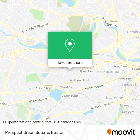
See Prospect Union Square, Boston, on the map
Public Transit to Prospect Union Square in Boston
Wondering how to get to Prospect Union Square in Boston? Moovit helps you find the best way to get to Prospect Union Square with step-by-step directions from the nearest public transit station.
Moovit provides free maps and live directions to help you navigate through your city. View schedules, routes, timetables, and find out how long does it take to get to Prospect Union Square in real time.
Looking for the nearest stop or station to Prospect Union Square? Check out this list of stops closest to your destination: Cambridge St @ Sparhawk St; Washington St @ Snow St; Sutherland Road.
Bus: 501, 57, 65, 86, 66.Train: FRAMINGHAM/WORCESTER.Subway: GREEN LINE B.
Want to see if there’s another route that gets you there at an earlier time? Moovit helps you find alternative routes or times. Get directions from and directions to Prospect Union Square easily from the Moovit App or Website.
We make riding to Prospect Union Square easy, which is why over 1.7 million users, including users in Boston, trust Moovit as the best app for public transit. You don’t need to download an individual bus app or train app, Moovit is your all-in-one transit app that helps you find the best bus time or train time available.
For information on prices of bus, subway and train, costs and ride fares to Prospect Union Square, please check the Moovit app.
Use the app to navigate to popular places including to the airport, hospital, stadium, grocery store, mall, coffee shop, school, college, and university.
Prospect Union Square Address: 50 Prospect St. street in Boston
- 228 Washington St Parking,
- Boston Shawarma Restaurant,
- Stratus Residences,
- Brighton,
- Spi Construction,
- Allston Brighton Community Development Corporation,
- St. Elizabeth's Medical Center,
- Spaulding Outpatient Center Brighton,
- SMG Stanton Internal Medicine,
- Ogletree Deakins Law Firm,
- Typhoon Asian Bistro,
- Patriot Cinemas,
- Center Insurance Agency,
- St. Elizabeth's M7,
- St Elizabeth s Hospital,
- Dana-Farber Cancer Institute at St. Elizabeth's Medical Center,
- Overlook at St. Gabriel's,
- Allan H Ropper MD,
- Brooklyn Pluger, Pa,
- Victoria Levi, MD
Places Near Prospect Union Square (Boston)
- Museum Of Science, Boston,
- Quincy Market, Boston,
- Wilbur Theatre, Boston,
- Wang Theater, Boston,
- Faneuil Hall, Boston,
- North End, Boston,
- House Of Blues, Boston,
- Boston Common, Boston,
- Seaport District, Boston,
- Prudential Center, Boston,
- Cheers, Boston,
- Boston Children's Hospital, Boston,
- Mgm Music Hall, Boston,
- Boston Medical Center, Boston,
- Castle Island, Boston,
- Isabella Stewart Gardner Museum, Boston,
- Boston Convention & Exhibition Center, Boston,
- Massachusetts General Hospital, Boston,
- Td Garden, Boston,
- Leader Bank Pavilion (Leader Bank Pavillion), Boston
How to get to popular places in Boston with public transit
Get around Boston by public transit!
Traveling around Boston has never been so easy. See step by step directions as you travel to any attraction, street or major public transit station. View bus and train schedules, arrival times, service alerts and detailed routes on a map, so you know exactly how to get to anywhere in Boston.
When traveling to any destination around Boston use Moovit's Live Directions with Get Off Notifications to know exactly where and how far to walk, how long to wait for your line, and how many stops are left. Moovit will alert you when it's time to get off — no need to constantly re-check whether yours is the next stop.
Wondering how to use public transit in Boston or how to pay for public transit in Boston? Moovit public transit app can help you navigate your way with public transit easily, and at minimum cost. It includes public transit fees, ticket prices, and costs. Looking for a map of Boston public transit lines? Moovit public transit app shows all public transit maps in Boston with all Bus, Train, Subway and Ferry routes and stops on an interactive map.
Boston has 4 transit type(s), including: Bus, Train, Subway and Ferry, operated by several transit agencies, including MBTA, Southeastern Regional Transit Authority, MetroWest Regional Transit Authority, Rhode Island Public Transit Authority, WRTA, Lowell Regional Transit Authority, Merrimack Valley Transit, Montachusett Regional Transit Authority, Cape Cod Regional Transit Authority, Brockton Area Transit Authority, Martha's Vineyard Transit Authority, the WAVE - Nantucket Regional Transit Authority, GATRA, Cape Ann Transportation Authority and Massport