How to get to Protective Club by bus?
Click on the bus route to see step by step directions with maps, line arrival times and updated time schedules.
From Bristol Community College, Fall River
87 minFrom Walmart Fall River Supercenter, Fall River
99 minFrom Amazon Fulfillment Bos7, Fall River
120 minFrom B.M.C. Durfee High School, Fall River
85 minFrom Charlton Memorial Hospital, Fall River
105 minFrom Barahona Express, Providence
122 minFrom Lizzy Borden House, Fall River
66 min
Bus stop near Protective Club in Boston
- Bellevue Before Narragansett, 7 min walk,VIEW
Bus lines to Protective Club in Boston
- 67, Bellevue Ave & Ledge Rd,VIEW
What are the closest stations to Protective Club?
The closest stations to Protective Club are:
- Bellevue Before Narragansett is 592 yards away, 7 min walk.
Which bus lines stop near Protective Club?
These bus lines stop near Protective Club: 24L, 67.
What’s the nearest bus station to Protective Club in Boston?
The nearest bus station to Protective Club in Boston is Bellevue Before Narragansett. It’s a 7 min walk away.
What time is the first bus to Protective Club in Boston?
The 67 is the first bus that goes to Protective Club in Boston. It stops nearby at 7:37 AM.
What time is the last bus to Protective Club in Boston?
The 67 is the last bus that goes to Protective Club in Boston. It stops nearby at 8:10 PM.
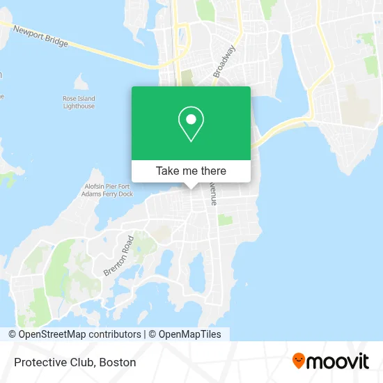
See Protective Club, Boston, on the map
Public Transit to Protective Club in Boston
Wondering how to get to Protective Club in Boston? Moovit helps you find the best way to get to Protective Club with step-by-step directions from the nearest public transit station.
Moovit provides free maps and live directions to help you navigate through your city. View schedules, routes, timetables, and find out how long does it take to get to Protective Club in real time.
Looking for the nearest stop or station to Protective Club? Check out this list of stops closest to your destination: Bellevue Before Narragansett.
Bus: 24L, 67.
Want to see if there’s another route that gets you there at an earlier time? Moovit helps you find alternative routes or times. Get directions from and directions to Protective Club easily from the Moovit App or Website.
We make riding to Protective Club easy, which is why over 1.7 million users, including users in Boston, trust Moovit as the best app for public transit. You don’t need to download an individual bus app or train app, Moovit is your all-in-one transit app that helps you find the best bus time or train time available.
For information on prices of bus, costs and ride fares to Protective Club, please check the Moovit app.
Use the app to navigate to popular places including to the airport, hospital, stadium, grocery store, mall, coffee shop, school, college, and university.
Protective Club Address: 596 Thames St street in Boston
- The Firehouse,
- Guibone Living,
- Yagi Noodles,
- Centreville Bank,
- Hooked Seafood Bar And Grill,
- Wellington Square Liquors,
- Newport Biergarten, Llc,
- Ocean Breeze Cafe,
- Newport Ri Ancient Order Of Hibernian's Pipes And Drums,
- Ancient Order Of Hibernians. Newport, Ri Dennis Collins Division 1,
- Seasons Corner Market,
- J/Boats, Newport, Ri,
- Vacation Newport,
- Cole's Court Newport,
- Sassie Styles Llc,
- Landings Real Estate Group,
- Wellington Resorts, Newport, Ri,
- The Newport Lofts,
- Irish American Athletic Club,
- Neville Architecture
Places Near Protective Club (Boston)
- Mgm Music Hall, Boston,
- Faneuil Hall, Boston,
- Boston Convention & Exhibition Center, Boston,
- Castle Island, Boston,
- Boston Medical Center, Boston,
- Boston Children's Hospital, Boston,
- Massachusetts General Hospital, Boston,
- Boston Common, Boston,
- Museum Of Science, Boston,
- Isabella Stewart Gardner Museum, Boston,
- Prudential Center, Boston,
- Wang Theater, Boston,
- Quincy Market, Boston,
- Leader Bank Pavilion (Leader Bank Pavillion), Boston,
- Wilbur Theatre, Boston,
- North End, Boston,
- Cheers, Boston,
- House Of Blues, Boston,
- Seaport District, Boston,
- Td Garden, Boston
How to get to popular places in Boston with public transit
Get around Boston by public transit!
Traveling around Boston has never been so easy. See step by step directions as you travel to any attraction, street or major public transit station. View bus and train schedules, arrival times, service alerts and detailed routes on a map, so you know exactly how to get to anywhere in Boston.
When traveling to any destination around Boston use Moovit's Live Directions with Get Off Notifications to know exactly where and how far to walk, how long to wait for your line, and how many stops are left. Moovit will alert you when it's time to get off — no need to constantly re-check whether yours is the next stop.
Wondering how to use public transit in Boston or how to pay for public transit in Boston? Moovit public transit app can help you navigate your way with public transit easily, and at minimum cost. It includes public transit fees, ticket prices, and costs. Looking for a map of Boston public transit lines? Moovit public transit app shows all public transit maps in Boston with all Bus, Train, Subway and Ferry routes and stops on an interactive map.
Boston has 4 transit type(s), including: Bus, Train, Subway and Ferry, operated by several transit agencies, including MBTA, Southeastern Regional Transit Authority, MetroWest Regional Transit Authority, Rhode Island Public Transit Authority, WRTA, Lowell Regional Transit Authority, Merrimack Valley Transit, Montachusett Regional Transit Authority, Cape Cod Regional Transit Authority, Brockton Area Transit Authority, Martha's Vineyard Transit Authority, the WAVE - Nantucket Regional Transit Authority, GATRA, Cape Ann Transportation Authority and Massport