How to get to Purvis Systems by bus?
Click on the bus route to see step by step directions with maps, line arrival times and updated time schedules.
From Lizzy Borden House, Fall River
87 minFrom Walmart Fall River Supercenter, Fall River
120 minFrom B.M.C. Durfee High School, Fall River
106 minFrom Charlton Memorial Hospital, Fall River
125 minFrom Barahona Express, Providence
130 minFrom Bristol Community College, Fall River
107 minFrom Amazon Fulfillment Bos7, Fall River
213 min
Bus stop near Purvis Systems in Boston
- Aquidneck After Newport, 9 min walk,VIEW
Bus lines to Purvis Systems in Boston
- 68, Aquidneck Corporate Park,VIEW
What are the closest stations to Purvis Systems?
The closest stations to Purvis Systems are:
- Aquidneck After Newport is 749 yards away, 9 min walk.
Which bus lines stop near Purvis Systems?
These bus lines stop near Purvis Systems: 60, 68.
What’s the nearest bus station to Purvis Systems in Boston?
The nearest bus station to Purvis Systems in Boston is Aquidneck After Newport. It’s a 9 min walk away.
What time is the first bus to Purvis Systems in Boston?
The 68 is the first bus that goes to Purvis Systems in Boston. It stops nearby at 9:14 AM.
What time is the last bus to Purvis Systems in Boston?
The 68 is the last bus that goes to Purvis Systems in Boston. It stops nearby at 5:38 PM.
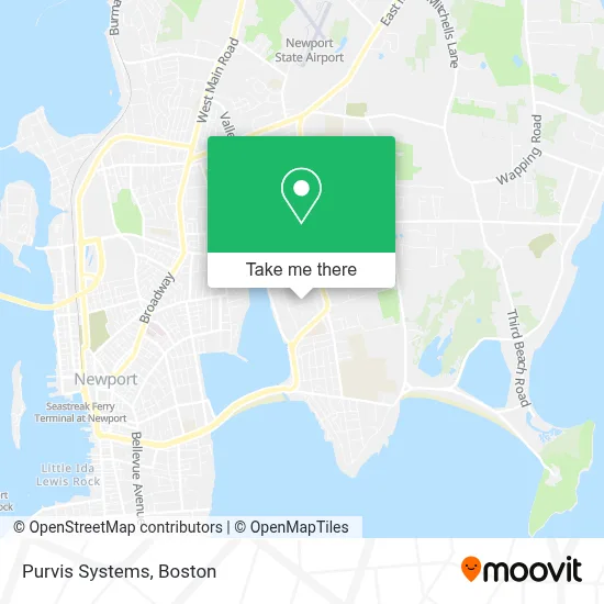
See Purvis Systems, Boston, on the map
Public Transit to Purvis Systems in Boston
Wondering how to get to Purvis Systems in Boston? Moovit helps you find the best way to get to Purvis Systems with step-by-step directions from the nearest public transit station.
Moovit provides free maps and live directions to help you navigate through your city. View schedules, routes, timetables, and find out how long does it take to get to Purvis Systems in real time.
Looking for the nearest stop or station to Purvis Systems? Check out this list of stops closest to your destination: Aquidneck After Newport.
Bus: 60, 68.
Want to see if there’s another route that gets you there at an earlier time? Moovit helps you find alternative routes or times. Get directions from and directions to Purvis Systems easily from the Moovit App or Website.
We make riding to Purvis Systems easy, which is why over 1.7 million users, including users in Boston, trust Moovit as the best app for public transit. You don’t need to download an individual bus app or train app, Moovit is your all-in-one transit app that helps you find the best bus time or train time available.
For information on prices of bus, costs and ride fares to Purvis Systems, please check the Moovit app.
Use the app to navigate to popular places including to the airport, hospital, stadium, grocery store, mall, coffee shop, school, college, and university.
Purvis Systems Address: 88 Silva Ln street in Boston
- Snake River Lodge & Spa,
- Nantasket Beach Resort (Ocean Mist Cape Cod),
- North Conway Grand Hotel,
- Laz Parking LTD,
- American Pharmaceutical,
- Dresser Marine,
- Newport Playhouse,
- Wyndham Newport,
- Taste Design Inc.,
- Gordon Gibson Dr,
- Clementine's Homemade Ice Cream - Middletown,
- Atlantic Beach Hotel Newport,
- John Clarke Retirement Center,
- Atlantic Beach,
- Care New England Center for Health & Well Being,
- MacRae Medical,
- Pop My Locks,
- Newport Daily News,
- American Standard Painting and Restoration,
- FM Properties
Places Near Purvis Systems (Boston)
- Prudential Center, Boston,
- Boston Children's Hospital, Boston,
- Seaport District, Boston,
- Boston Common, Boston,
- Mgm Music Hall, Boston,
- Leader Bank Pavilion (Leader Bank Pavillion), Boston,
- Boston Medical Center, Boston,
- Faneuil Hall, Boston,
- House Of Blues, Boston,
- Quincy Market, Boston,
- Wilbur Theatre, Boston,
- Boston Convention & Exhibition Center, Boston,
- Isabella Stewart Gardner Museum, Boston,
- North End, Boston,
- Castle Island, Boston,
- Wang Theater, Boston,
- Museum Of Science, Boston,
- Td Garden, Boston,
- Massachusetts General Hospital, Boston,
- Cheers, Boston
How to get to popular places in Boston with public transit
Get around Boston by public transit!
Traveling around Boston has never been so easy. See step by step directions as you travel to any attraction, street or major public transit station. View bus and train schedules, arrival times, service alerts and detailed routes on a map, so you know exactly how to get to anywhere in Boston.
When traveling to any destination around Boston use Moovit's Live Directions with Get Off Notifications to know exactly where and how far to walk, how long to wait for your line, and how many stops are left. Moovit will alert you when it's time to get off — no need to constantly re-check whether yours is the next stop.
Wondering how to use public transit in Boston or how to pay for public transit in Boston? Moovit public transit app can help you navigate your way with public transit easily, and at minimum cost. It includes public transit fees, ticket prices, and costs. Looking for a map of Boston public transit lines? Moovit public transit app shows all public transit maps in Boston with all Bus, Train, Subway and Ferry routes and stops on an interactive map.
Boston has 4 transit type(s), including: Bus, Train, Subway and Ferry, operated by several transit agencies, including MBTA, Southeastern Regional Transit Authority, MetroWest Regional Transit Authority, Rhode Island Public Transit Authority, WRTA, Lowell Regional Transit Authority, Merrimack Valley Transit, Montachusett Regional Transit Authority, Cape Cod Regional Transit Authority, Brockton Area Transit Authority, Martha's Vineyard Transit Authority, the WAVE - Nantucket Regional Transit Authority, GATRA, Cape Ann Transportation Authority and Massport