How to get to Quabbin Service Center by bus?
Click on the bus route to see step by step directions with maps, line arrival times and updated time schedules.
From Foxwoods, Worcester
152 minFrom Registry Of Motor Vehicles (Rmv) Branch Office, Worcester
127 minFrom Palladium, Worcester
128 minFrom Dcu Center, Worcester
125 minFrom Polar Park, Worcester
125 minFrom Walmart Supercenter, Worcester
182 minFrom South High Community School, Worcester
220 minFrom Worcester, MA, Worcester
123 min
Bus stops near Quabbin Service Center in Boston
Bus lines to Quabbin Service Center in Boston
What are the closest stations to Quabbin Service Center?
The closest stations to Quabbin Service Center are:
- Memorial/(Park Inn 628) is 210 yards away, 3 min walk.
- Montgomery / Memorial is 769 yards away, 9 min walk.
Which bus lines stop near Quabbin Service Center?
These bus lines stop near Quabbin Service Center: G1, R22.
What’s the nearest bus station to Quabbin Service Center in Boston?
The nearest bus station to Quabbin Service Center in Boston is Memorial/(Park Inn 628). It’s a 3 min walk away.
What time is the first bus to Quabbin Service Center in Boston?
The G1 is the first bus that goes to Quabbin Service Center in Boston. It stops nearby at 6:11 AM.
What time is the last bus to Quabbin Service Center in Boston?
The G1 is the last bus that goes to Quabbin Service Center in Boston. It stops nearby at 10:03 PM.
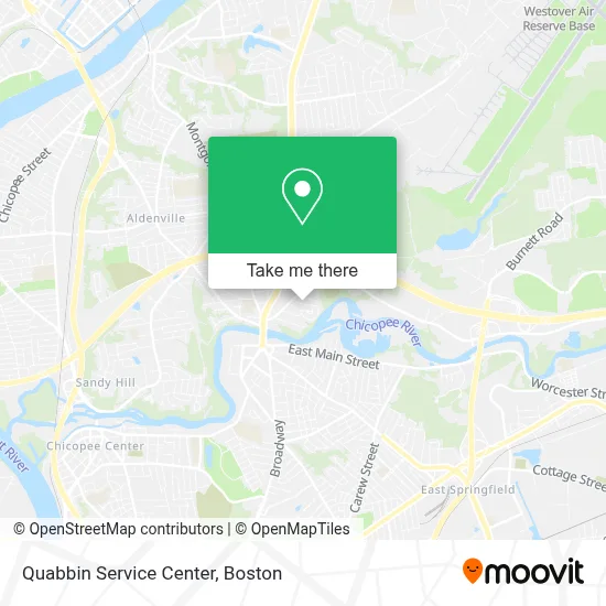
See Quabbin Service Center, Boston, on the map
Public Transit to Quabbin Service Center in Boston
Wondering how to get to Quabbin Service Center in Boston? Moovit helps you find the best way to get to Quabbin Service Center with step-by-step directions from the nearest public transit station.
Moovit provides free maps and live directions to help you navigate through your city. View schedules, routes, timetables, and find out how long does it take to get to Quabbin Service Center in real time.
Looking for the nearest stop or station to Quabbin Service Center? Check out this list of stops closest to your destination: Memorial/(Park Inn 628); Montgomery / Memorial.
Bus: G1, R22, X90.
Want to see if there’s another route that gets you there at an earlier time? Moovit helps you find alternative routes or times. Get directions from and directions to Quabbin Service Center easily from the Moovit App or Website.
We make riding to Quabbin Service Center easy, which is why over 1.7 million users, including users in Boston, trust Moovit as the best app for public transit. You don’t need to download an individual bus app or train app, Moovit is your all-in-one transit app that helps you find the best bus time or train time available.
For information on prices of bus, costs and ride fares to Quabbin Service Center, please check the Moovit app.
Use the app to navigate to popular places including to the airport, hospital, stadium, grocery store, mall, coffee shop, school, college, and university.
Quabbin Service Center Address: 18 Sergeant Ave street in Boston
- Sheridan Circle Park,
- Alanas Aromatherapy,
- RT's Quality Painting & Remodeling,
- Mardi Gras Entertainment,
- Ked Storage,
- Charter Spectrum,
- Statewide Mechanical Contractors,
- Trinity Home Care,
- Ohana School of Performing Arts,
- Cheapbest Garage Doors,
- Fraternal Order of Eagles,
- Interstate Batteries,
- Ryder,
- Interstate Batteries,
- Navy Federal Credit Union,
- Bam Maintenance & Remodeling,
- Greek Orthodox Church,
- PP*Everkora Crystals,
- New Beginnings Childcare,
- Belcher School
Places Near Quabbin Service Center (Boston)
- North End, Boston,
- House Of Blues, Boston,
- Seaport District, Boston,
- Prudential Center, Boston,
- Castle Island, Boston,
- Td Garden, Boston,
- Massachusetts General Hospital, Boston,
- Cheers, Boston,
- Museum Of Science, Boston,
- Boston Medical Center, Boston,
- Wilbur Theatre, Boston,
- Isabella Stewart Gardner Museum, Boston,
- Leader Bank Pavilion (Leader Bank Pavillion), Boston,
- Boston Common, Boston,
- Boston Children's Hospital, Boston,
- Mgm Music Hall, Boston,
- Faneuil Hall, Boston,
- Wang Theater, Boston,
- Boston Convention & Exhibition Center, Boston,
- Quincy Market, Boston
How to get to popular places in Boston with public transit
Get around Boston by public transit!
Traveling around Boston has never been so easy. See step by step directions as you travel to any attraction, street or major public transit station. View bus and train schedules, arrival times, service alerts and detailed routes on a map, so you know exactly how to get to anywhere in Boston.
When traveling to any destination around Boston use Moovit's Live Directions with Get Off Notifications to know exactly where and how far to walk, how long to wait for your line, and how many stops are left. Moovit will alert you when it's time to get off — no need to constantly re-check whether yours is the next stop.
Wondering how to use public transit in Boston or how to pay for public transit in Boston? Moovit public transit app can help you navigate your way with public transit easily, and at minimum cost. It includes public transit fees, ticket prices, and costs. Looking for a map of Boston public transit lines? Moovit public transit app shows all public transit maps in Boston with all Bus, Train, Subway and Ferry routes and stops on an interactive map.
Boston has 4 transit type(s), including: Bus, Train, Subway and Ferry, operated by several transit agencies, including MBTA, Southeastern Regional Transit Authority, MetroWest Regional Transit Authority, Rhode Island Public Transit Authority, WRTA, Lowell Regional Transit Authority, Merrimack Valley Transit, Montachusett Regional Transit Authority, Cape Cod Regional Transit Authority, Brockton Area Transit Authority, Martha's Vineyard Transit Authority, the WAVE - Nantucket Regional Transit Authority, GATRA, Cape Ann Transportation Authority and Massport