How to get to Quarles II Inc by bus?
Click on the bus route to see step by step directions with maps, line arrival times and updated time schedules.
Bus stops near Quarles II Inc in Boston
Bus lines to Quarles II Inc in Boston
What are the closest stations to Quarles II Inc?
The closest stations to Quarles II Inc are:
- Brewery Parkade (At Garfield Before Lowe'S) is 107 yards away, 2 min walk.
- Cranston After Seneca is 581 yards away, 7 min walk.
Which bus lines stop near Quarles II Inc?
These bus lines stop near Quarles II Inc: 31, R.
What’s the nearest bus station to Quarles II Inc in Boston?
The nearest bus station to Quarles II Inc in Boston is Brewery Parkade (At Garfield Before Lowe'S). It’s a 2 min walk away.
What time is the first bus to Quarles II Inc in Boston?
The 30 is the first bus that goes to Quarles II Inc in Boston. It stops nearby at 5:26 AM.
What time is the last bus to Quarles II Inc in Boston?
The 31 is the last bus that goes to Quarles II Inc in Boston. It stops nearby at 10:59 PM.
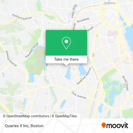
See Quarles II Inc, Boston, on the map
Public Transit to Quarles II Inc in Boston
Wondering how to get to Quarles II Inc in Boston? Moovit helps you find the best way to get to Quarles II Inc with step-by-step directions from the nearest public transit station.
Moovit provides free maps and live directions to help you navigate through your city. View schedules, routes, timetables, and find out how long does it take to get to Quarles II Inc in real time.
Looking for the nearest stop or station to Quarles II Inc? Check out this list of stops closest to your destination: Brewery Parkade (At Garfield Before Lowe'S); Cranston After Seneca.
Bus: 31, R, 30, WM.
Want to see if there’s another route that gets you there at an earlier time? Moovit helps you find alternative routes or times. Get directions from and directions to Quarles II Inc easily from the Moovit App or Website.
We make riding to Quarles II Inc easy, which is why over 1.7 million users, including users in Boston, trust Moovit as the best app for public transit. You don’t need to download an individual bus app or train app, Moovit is your all-in-one transit app that helps you find the best bus time or train time available.
For information on prices of bus and train, costs and ride fares to Quarles II Inc, please check the Moovit app.
Use the app to navigate to popular places including to the airport, hospital, stadium, grocery store, mall, coffee shop, school, college, and university.
Quarles II Inc Address: 260 Garfield Ave street in Boston
- Cranston Medicare Insurance,
- Halloween City 8021,
- Five Below,
- Attorney for Nursing Home Abuse,
- Yamato Asian Bistro and Sushi,
- Perfect Glance Studio,
- Rosely's Beauty Salon,
- Premiere Laundromat,
- West To North Long Distance Moving,
- Long Distance Movers Near Me,
- Coinstar - Bitcoin ATM,
- Edge Fitness Clubs - Cranston,
- Attorney for Postoperative Infections,
- Amazon Locker-Havana,
- Viva Locksmith,
- VBM Cash for Cars Services,
- Minute Key,
- We do Medicare Insurance,
- Bren Corporation,
- JCS Trucking & Trailer Repair
Places Near Quarles II Inc (Boston)
- Castle Island, Boston,
- Boston Convention & Exhibition Center, Boston,
- Wilbur Theatre, Boston,
- Leader Bank Pavilion (Leader Bank Pavillion), Boston,
- House Of Blues, Boston,
- Prudential Center, Boston,
- Museum Of Science, Boston,
- Boston Common, Boston,
- Quincy Market, Boston,
- Mgm Music Hall, Boston,
- Boston Medical Center, Boston,
- Isabella Stewart Gardner Museum, Boston,
- Wang Theater, Boston,
- Massachusetts General Hospital, Boston,
- Td Garden, Boston,
- Faneuil Hall, Boston,
- Seaport District, Boston,
- North End, Boston,
- Cheers, Boston,
- Boston Children's Hospital, Boston
How to get to popular places in Boston with public transit
Get around Boston by public transit!
Traveling around Boston has never been so easy. See step by step directions as you travel to any attraction, street or major public transit station. View bus and train schedules, arrival times, service alerts and detailed routes on a map, so you know exactly how to get to anywhere in Boston.
When traveling to any destination around Boston use Moovit's Live Directions with Get Off Notifications to know exactly where and how far to walk, how long to wait for your line, and how many stops are left. Moovit will alert you when it's time to get off — no need to constantly re-check whether yours is the next stop.
Wondering how to use public transit in Boston or how to pay for public transit in Boston? Moovit public transit app can help you navigate your way with public transit easily, and at minimum cost. It includes public transit fees, ticket prices, and costs. Looking for a map of Boston public transit lines? Moovit public transit app shows all public transit maps in Boston with all Bus, Train, Subway and Ferry routes and stops on an interactive map.
Boston has 4 transit type(s), including: Bus, Train, Subway and Ferry, operated by several transit agencies, including MBTA, Southeastern Regional Transit Authority, MetroWest Regional Transit Authority, Rhode Island Public Transit Authority, WRTA, Lowell Regional Transit Authority, Merrimack Valley Transit, Montachusett Regional Transit Authority, Cape Cod Regional Transit Authority, Brockton Area Transit Authority, Martha's Vineyard Transit Authority, the WAVE - Nantucket Regional Transit Authority, GATRA, Cape Ann Transportation Authority and Massport