Directions to Quinta Gamelin Community Center (Boston) with public transportation
The following transit lines have routes that pass near Quinta Gamelin Community Center
 Bus: 60.
How to get to Quinta Gamelin Community Center by bus?
Click on the bus route to see step by step directions with maps, line arrival times and updated time schedules.
From Amazon Fulfillment Bos7, Fall River
136 minFrom B.M.C. Durfee High School, Fall River
118 minFrom Charlton Memorial Hospital, Fall River
137 minFrom Barahona Express, Providence
63 minFrom Lizzy Borden House, Fall River
79 minFrom Bristol Community College, Fall River
86 minFrom Walmart Fall River Supercenter, Fall River
132 min
Bus stop near Quinta Gamelin Community Center in Boston
- Hope at Bristol Shopping Center, 12 min walk,VIEW
Bus lines to Quinta Gamelin Community Center in Boston
- 60, Newport Via W Main Rd,VIEW
What are the closest stations to Quinta Gamelin Community Center?
The closest stations to Quinta Gamelin Community Center are:
- Hope at Bristol Shopping Center is 928 yards away, 12 min walk.
Which bus line stops near Quinta Gamelin Community Center?
60 (Newport Via W Main Rd)
What’s the nearest bus station to Quinta Gamelin Community Center in Boston?
The nearest bus station to Quinta Gamelin Community Center in Boston is Hope at Bristol Shopping Center. It’s a 12 min walk away.
What time is the first bus to Quinta Gamelin Community Center in Boston?
The 60 is the first bus that goes to Quinta Gamelin Community Center in Boston. It stops nearby at 5:12 AM.
What time is the last bus to Quinta Gamelin Community Center in Boston?
The 60 is the last bus that goes to Quinta Gamelin Community Center in Boston. It stops nearby at 12:47 AM.
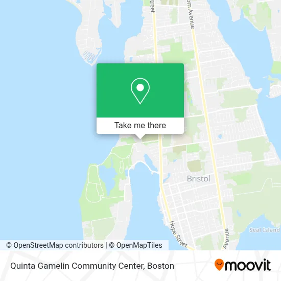
See Quinta Gamelin Community Center, Boston, on the map
Public Transit to Quinta Gamelin Community Center in Boston
Wondering how to get to Quinta Gamelin Community Center in Boston? Moovit helps you find the best way to get to Quinta Gamelin Community Center with step-by-step directions from the nearest public transit station.
Moovit provides free maps and live directions to help you navigate through your city. View schedules, routes, timetables, and find out how long does it take to get to Quinta Gamelin Community Center in real time.
Looking for the nearest stop or station to Quinta Gamelin Community Center? Check out this list of stops closest to your destination: Hope at Bristol Shopping Center.
Bus: 60.
Want to see if there’s another route that gets you there at an earlier time? Moovit helps you find alternative routes or times. Get directions from and directions to Quinta Gamelin Community Center easily from the Moovit App or Website.
We make riding to Quinta Gamelin Community Center easy, which is why over 1.7 million users, including users in Boston, trust Moovit as the best app for public transit. You don’t need to download an individual bus app or train app, Moovit is your all-in-one transit app that helps you find the best bus time or train time available.
For information on prices of bus, costs and ride fares to Quinta Gamelin Community Center, please check the Moovit app.
Use the app to navigate to popular places including to the airport, hospital, stadium, grocery store, mall, coffee shop, school, college, and university.
Quinta Gamelin Community Center Address: 101 Asylum Rd street in Boston
- Town of Bristol,
- 1124 Hope St Parking,
- Defiance Hose Co,
- Body Restoration Massage Therapy,
- Joseph Reynolds House,
- Amazon Locker-Micol,
- Bristol County Physical Therapy and Sports Rehabilitation,
- California Taco Shop - Bristol,
- Boldandold Tattoo Company,
- Qhali,
- Garage Door Service Garage Door,
- Clements' Marketplace,
- 24 7 Emerg Locksmith,
- East Bay Summer Wind Ensemble,
- Hope at 889 Hope,
- Jordan S Dehaven DPM,
- Bristol County Pt,
- Freedman Steven F MD,
- Safesplash Swim School,
- Michelle Demello
Places Near Quinta Gamelin Community Center (Boston)
- North End, Boston,
- Wilbur Theatre, Boston,
- Boston Common, Boston,
- Prudential Center, Boston,
- Boston Children's Hospital, Boston,
- Museum Of Science, Boston,
- Cheers, Boston,
- House Of Blues, Boston,
- Mgm Music Hall, Boston,
- Faneuil Hall, Boston,
- Leader Bank Pavilion (Leader Bank Pavillion), Boston,
- Td Garden, Boston,
- Quincy Market, Boston,
- Boston Convention & Exhibition Center, Boston,
- Seaport District, Boston,
- Isabella Stewart Gardner Museum, Boston,
- Boston Medical Center, Boston,
- Wang Theater, Boston,
- Castle Island, Boston,
- Massachusetts General Hospital, Boston
How to get to popular places in Boston with public transit
Get around Boston by public transit!
Traveling around Boston has never been so easy. See step by step directions as you travel to any attraction, street or major public transit station. View bus and train schedules, arrival times, service alerts and detailed routes on a map, so you know exactly how to get to anywhere in Boston.
When traveling to any destination around Boston use Moovit's Live Directions with Get Off Notifications to know exactly where and how far to walk, how long to wait for your line, and how many stops are left. Moovit will alert you when it's time to get off — no need to constantly re-check whether yours is the next stop.
Wondering how to use public transit in Boston or how to pay for public transit in Boston? Moovit public transit app can help you navigate your way with public transit easily, and at minimum cost. It includes public transit fees, ticket prices, and costs. Looking for a map of Boston public transit lines? Moovit public transit app shows all public transit maps in Boston with all Bus, Train, Subway and Ferry routes and stops on an interactive map.
Boston has 4 transit type(s), including: Bus, Train, Subway and Ferry, operated by several transit agencies, including MBTA, Southeastern Regional Transit Authority, MetroWest Regional Transit Authority, Rhode Island Public Transit Authority, WRTA, Lowell Regional Transit Authority, Merrimack Valley Transit, Montachusett Regional Transit Authority, Cape Cod Regional Transit Authority, Brockton Area Transit Authority, Martha's Vineyard Transit Authority, the WAVE - Nantucket Regional Transit Authority, GATRA, Cape Ann Transportation Authority and Massport