How to get to R C Arras Roller by bus?
Click on the bus route to see step by step directions with maps, line arrival times and updated time schedules.
Bus stops near R C Arras Roller
Bus lines to R C Arras Roller
- C22, Ateliers d'Artois Dainville,VIEW
- L4, Ligne 4,VIEW
- LD2, Ligne D2,VIEW
- CIT2, Citadelle,VIEW
- C24, Gare Quai B,VIEW
- L5, Les Etangs,VIEW
- TAC, Mairie D'Achicourt,VIEW
- C8, Robespierre,VIEW
- C35, Lycée Agricole,VIEW
- C36, Square Frachon,VIEW
- C37, Rue Des Nobles,VIEW
- L11, Gare Quai J,VIEW
- L12, Moulin,VIEW
- L2, Arras - Centre Commercial,VIEW
- L6, Docteur Forgeois,VIEW
- L9, Douanes,VIEW
- C17, Rue De Beaumetz,VIEW
- L17, Rue De Bellacordelle,VIEW
What are the closest stations to R C Arras Roller?
The closest stations to R C Arras Roller are:
- Ste-Claire is 46 meters away, 1 min walk.
- Cours De Verdun is 164 meters away, 3 min walk.
- Octroi is 186 meters away, 3 min walk.
- Robespierre is 353 meters away, 5 min walk.
- Capucins is 488 meters away, 7 min walk.
- Tételin is 496 meters away, 7 min walk.
- Vauban is 615 meters away, 8 min walk.
Which bus lines stop near R C Arras Roller?
These bus lines stop near R C Arras Roller: C36, L13, L14, L17, L5.
What’s the nearest bus station to R C Arras Roller?
The nearest bus station to R C Arras Roller is Ste-Claire. It’s a 1 min walk away.
What time is the first bus to R C Arras Roller?
The L5 is the first bus that goes to R C Arras Roller. It stops nearby at 6:22 AM.
What time is the last bus to R C Arras Roller?
The L4 is the last bus that goes to R C Arras Roller. It stops nearby at 8:50 PM.
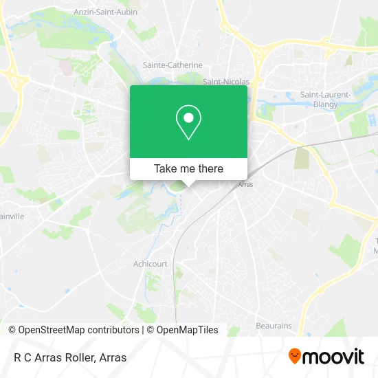
See R C Arras Roller on the map
Public Transportation to R C Arras Roller
Wondering how to get to R C Arras Roller? Moovit helps you find the best way to get to R C Arras Roller with step-by-step directions from the nearest public transit station.
Moovit provides free maps and live directions to help you navigate through your city. View schedules, routes, timetables, and find out how long does it take to get to R C Arras Roller in real time.
Looking for the nearest stop or station to R C Arras Roller? Check out this list of stops closest to your destination: Ste-Claire; Cours De Verdun; Octroi; Robespierre; Capucins; Tételin; Vauban.
Bus: C36, L13, L14, L17, L5, C22, L4, LD2, CIT2, C24, TAC, C8, C35, C37, L11, L2, L6.
Want to see if there’s another route that gets you there at an earlier time? Moovit helps you find alternative routes or times. Get directions from and directions to R C Arras Roller easily from the Moovit App or Website.
We make riding to R C Arras Roller easy, which is why over 1.5 million users, including users in Arras, trust Moovit as the best app for public transit. You don’t need to download an individual bus app or train app, Moovit is your all-in-one transit app that helps you find the best bus time or train time available.
For information on prices of bus, costs and ride fares to R C Arras Roller, please check the Moovit app.
Use the app to navigate to popular places including to the airport, hospital, stadium, grocery store, mall, coffee shop, school, college, and university.
R C Arras Roller Address: 5 Boulevard du Général de Gaulle 62000 Arras street in Arras
- Tetelin,
- Friterie Jolivert Arras,
- Salle Richard Tételin,
- Relais du Crinchon,
- Boulevard Vauban,
- Apei,
- Dumesnil Laure,
- Arkom,
- Usao Muay Thai,
- 14 Blvd Vauban Parking,
- École Élémentaire D'Application Oscar Cléret,
- Scm des Drs Monchaux,
- Catteau Bertrand,
- Caisse D'Allocations Familiales (Caf) Du Pas-De-Calais - Accueil D'Arras,
- Acga,
- 12 Blvd Crespel Parking,
- At Home,
- Salle d'Armes Laura Flessel,
- Delphine Mahieu Psychothérapeute,
- Complexe Degouve-Tételin
Places Near R C Arras Roller
- Caf, Arras,
- Auchan Arras, Arras,
- Lycée Général Gambetta Carnot, Arras,
- Centre Hospitalier D'Arras, Arras,
- Lycée Professionnel Alain Savary, Arras,
- Lycée Du Bâtiment Jacques Le Caron, Arras,
- Lfb Group Arras, Bailleul-Sir-Berthoult,
- Lycée Privé Baudimont Saint-Charles, Arras,
- Université D'Artois, Arras,
- Marché De Noël, Arras,
- Lycée Robespierre, Arras,
- Centre Commercial Auchan, Arras,
- lycée Baudimont St-Charles, Arras,
- Artois-Expo, Saint-Laurent-Blangy,
- Le Set Famous Club Roclincourt, Arras,
- Grand'Place, Arras,
- Citadelle D'Arras, Arras,
- Main Square Festival, Arras,
- Hôpital Privé Arras Les Bonnettes, Arras,
- Lycée Polyvalent Guy Mollet, Arras
How to get to popular places in Arras with public transit
Get around Arras by public transit!
Traveling around Arras has never been so easy. See step by step directions as you travel to any attraction, street or major public transit station. View bus and train schedules, arrival times, service alerts and detailed routes on a map, so you know exactly how to get to anywhere in Arras.
When traveling to any destination around Arras use Moovit's Live Directions with Get Off Notifications to know exactly where and how far to walk, how long to wait for your line, and how many stops are left. Moovit will alert you when it's time to get off — no need to constantly re-check whether yours is the next stop.
Wondering how to use public transit in Arras or how to pay for public transit in Arras? Moovit public transit app can help you navigate your way with public transit easily, and at minimum cost. It includes public transit fees, ticket prices, and costs. Looking for a map of Arras public transit lines? Moovit public transit app shows all public transit maps in Arras with all bus routes and stops on an interactive map.
Arras has 1 transit type(s), including: bus, operated by several transit agencies, including Artis