How to get to R D Johnson Excavating Co by bus?
Click on the bus route to see step by step directions with maps, line arrival times and updated time schedules.
Bus stops near R D Johnson Excavating Co in Kansas City
Bus lines to R D Johnson Excavating Co in Kansas City
What are the closest stations to R D Johnson Excavating Co?
The closest stations to R D Johnson Excavating Co are:
- 349 - Lcs is 869 yards away, 11 min walk.
- 230 - Greenway Circle Wb is 1844 yards away, 22 min walk.
Which bus lines stop near R D Johnson Excavating Co?
These bus lines stop near R D Johnson Excavating Co: 1, 5.
What’s the nearest bus station to R D Johnson Excavating Co in Kansas City?
The nearest bus station to R D Johnson Excavating Co in Kansas City is 349 - Lcs. It’s a 11 min walk away.
What time is the first bus to R D Johnson Excavating Co in Kansas City?
The 1 is the first bus that goes to R D Johnson Excavating Co in Kansas City. It stops nearby at 5:55 AM.
What time is the last bus to R D Johnson Excavating Co in Kansas City?
The 5 is the last bus that goes to R D Johnson Excavating Co in Kansas City. It stops nearby at 7:55 PM.
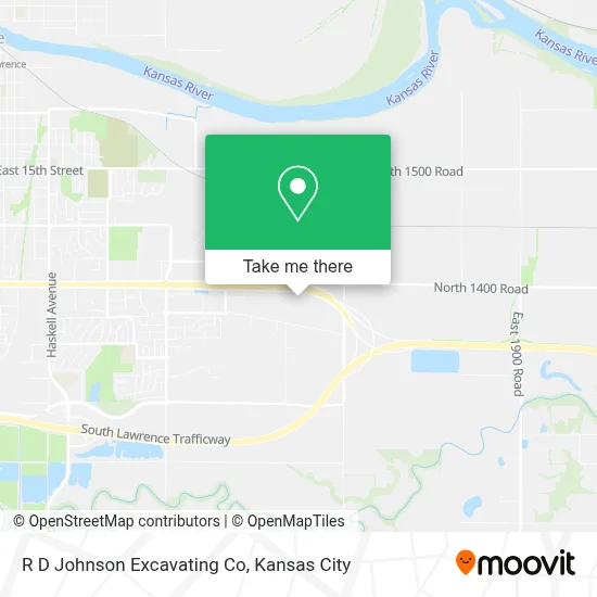
See R D Johnson Excavating Co, Kansas City, on the map
Public Transit to R D Johnson Excavating Co in Kansas City
Wondering how to get to R D Johnson Excavating Co in Kansas City? Moovit helps you find the best way to get to R D Johnson Excavating Co with step-by-step directions from the nearest public transit station.
Moovit provides free maps and live directions to help you navigate through your city. View schedules, routes, timetables, and find out how long does it take to get to R D Johnson Excavating Co in real time.
Looking for the nearest stop or station to R D Johnson Excavating Co? Check out this list of stops closest to your destination: 349 - Lcs; 230 - Greenway Circle Wb.
Bus: 1, 5.
Want to see if there’s another route that gets you there at an earlier time? Moovit helps you find alternative routes or times. Get directions from and directions to R D Johnson Excavating Co easily from the Moovit App or Website.
We make riding to R D Johnson Excavating Co easy, which is why over 1.5 million users, including users in Kansas City, trust Moovit as the best app for public transit. You don’t need to download an individual bus app or train app, Moovit is your all-in-one transit app that helps you find the best bus time or train time available.
For information on prices of bus, costs and ride fares to R D Johnson Excavating Co, please check the Moovit app.
Use the app to navigate to popular places including to the airport, hospital, stadium, grocery store, mall, coffee shop, school, college, and university.
R D Johnson Excavating Co Address: 1705 N 1399 street in Kansas City
- Avis,
- Haskell Indian Nations University - Haskell Cemetery,
- Just Food,
- Bnsf Lawrence Yard,
- Municipal Stadium,
- Bnsf Lawrence Yard,
- Ralph Wedd Field,
- Community Center,
- The Wheel,
- Lot 14,
- Lot 13,
- Kansas Union Sb,
- Lot 34,
- Winfield House,
- Lawrence,
- Abe & Jake's Landing,
- Ku Child & Family Services Clinic,
- Practice Fields,
- Baker Wetlands Tract B,
- Lot 90
Places Near R D Johnson Excavating Co (Kansas City)
- Kansas City International Airport (MCI) (Kansas City International Airport),
- Walmart Supercenter,
- Truman Medical Center,
- T-Mobile Center,
- Liberty, MO, Liberty,
- Legends Outlets Kansas City, Kansas City,
- Kansas City Zoo,
- Stans Glory Hole,
- St. Luke's Hospital - Medical Plaza I,
- Kauffman Stadium,
- Walmart, Kansas City,
- Ku Medical Center, Kansas City,
- Country Club Plaza,
- Worlds of Fun,
- GEHA Field at Arrowhead Stadium,
- Amazon Fulfilment Center-MKC6, Kansas City,
- The Glory Hole,
- Grandview, MO, Grandview,
- Harrah's Casino, North Kansas City,
- Arrowhead Stadium
How to get to popular places in Kansas City with public transit
Get around Kansas City by public transit!
Traveling around Kansas City has never been so easy. See step by step directions as you travel to any attraction, street or major public transit station. View bus and train schedules, arrival times, service alerts and detailed routes on a map, so you know exactly how to get to anywhere in Kansas City.
When traveling to any destination around Kansas City use Moovit's Live Directions with Get Off Notifications to know exactly where and how far to walk, how long to wait for your line, and how many stops are left. Moovit will alert you when it's time to get off — no need to constantly re-check whether yours is the next stop.
Wondering how to use public transit in Kansas City or how to pay for public transit in Kansas City? Moovit public transit app can help you navigate your way with public transit easily, and at minimum cost. It includes public transit fees, ticket prices, and costs. Looking for a map of Kansas City public transit lines? Moovit public transit app shows all public transit maps in Kansas City with all Bus, Train and Light Rail routes and stops on an interactive map.
Kansas City has 3 transit type(s), including: Bus, Train and Light Rail, operated by several transit agencies, including Kansas City Area Transportation Authority, Lawrence Transit, Topeka Metro, RideKC Johnson County, Amtrak, Greyhound-us and FlixBus-us