Directions to R&D Tires Inc. (Baltimore) with public transportation
The following transit lines have routes that pass near R&D Tires Inc.
 Bus: 26, 71, CHERRY ROUTE, 69, 70.
- Light Rail: LIGHT RAILLINK.
How to get to R&D Tires Inc. by bus?
Click on the bus route to see step by step directions with maps, line arrival times and updated time schedules.
From Social Security Administration (Robert M. Ball Building), Baltimore County
60 minFrom Baltimore Polytechnic Institute, Baltimore
60 minFrom Walmart, Baltimore County
57 minFrom Giant Food Stores, Baltimore
54 minFrom Canton, Baltimore
56 minFrom University Of Maryland Baltimore (Umbc), Baltimore County
51 minFrom Coppin State University, Baltimore
38 minFrom Glen Burnie, MD, Anne Arundel County
45 minFrom Morgan State University, Baltimore
72 minFrom Sinai Hospital, Baltimore
58 min
Bus stops near R&D Tires Inc. in Baltimore
Light Rail stations near R&D Tires Inc. in Baltimore
- Hamburg Street, 35 min walk,VIEW
Bus lines to R&D Tires Inc. in Baltimore
What are the closest stations to R&D Tires Inc.?
The closest stations to R&D Tires Inc. are:
- Annapolis Rd & Kent St Nb is 179 yards away, 3 min walk.
- Waterview Ave & Sidney Ave FS Wb is 912 yards away, 12 min walk.
- Cherry Hill Light Rail is 1970 yards away, 23 min walk.
- Hamburg Street is 2948 yards away, 35 min walk.
Which bus lines stop near R&D Tires Inc.?
These bus lines stop near R&D Tires Inc.: 26, 71, CHERRY ROUTE.
Which light rail line stops near R&D Tires Inc.?
LIGHT RAILLINK (Northbound)
What’s the nearest bus station to R&D Tires Inc. in Baltimore?
The nearest bus station to R&D Tires Inc. in Baltimore is Annapolis Rd & Kent St Nb. It’s a 3 min walk away.
What time is the first light rail to R&D Tires Inc. in Baltimore?
The LIGHT RAILLINK is the first light rail that goes to R&D Tires Inc. in Baltimore. It stops nearby at 4:20 AM.
What time is the last light rail to R&D Tires Inc. in Baltimore?
The LIGHT RAILLINK is the last light rail that goes to R&D Tires Inc. in Baltimore. It stops nearby at 1:04 AM.
What time is the first bus to R&D Tires Inc. in Baltimore?
The 73 is the first bus that goes to R&D Tires Inc. in Baltimore. It stops nearby at 3:04 AM.
What time is the last bus to R&D Tires Inc. in Baltimore?
The 73 is the last bus that goes to R&D Tires Inc. in Baltimore. It stops nearby at 3:05 AM.
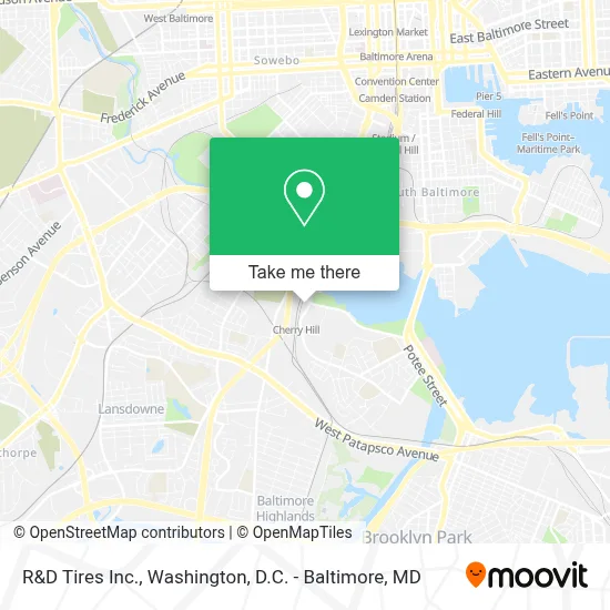
See R&D Tires Inc., Baltimore, on the map
Public Transit to R&D Tires Inc. in Baltimore
Wondering how to get to R&D Tires Inc. in Baltimore? Moovit helps you find the best way to get to R&D Tires Inc. with step-by-step directions from the nearest public transit station.
Moovit provides free maps and live directions to help you navigate through your city. View schedules, routes, timetables, and find out how long does it take to get to R&D Tires Inc. in real time.
Looking for the nearest stop or station to R&D Tires Inc.? Check out this list of stops closest to your destination: Annapolis Rd & Kent St Nb; Waterview Ave & Sidney Ave FS Wb; Cherry Hill Light Rail; Hamburg Street.
Bus: 26, 71, CHERRY ROUTE, 69, 70, 73.Light Rail: LIGHT RAILLINK.
Want to see if there’s another route that gets you there at an earlier time? Moovit helps you find alternative routes or times. Get directions from and directions to R&D Tires Inc. easily from the Moovit App or Website.
We make riding to R&D Tires Inc. easy, which is why over 1.7 million users, including users in Baltimore, trust Moovit as the best app for public transit. You don’t need to download an individual bus app or train app, Moovit is your all-in-one transit app that helps you find the best bus time or train time available.
For information on prices of bus and light rail, costs and ride fares to R&D Tires Inc., please check the Moovit app.
Use the app to navigate to popular places including to the airport, hospital, stadium, grocery store, mall, coffee shop, school, college, and university.
R&D Tires Inc. Address: 2910 Waterview Ave street in Baltimore
- Cherry Hill, Maryland,
- Red Robin Gourmet Burgers,
- Bp,
- Bp,
- Experience 1810,
- Bp,
- The Baltimore VPC,
- Baltimore Vehicle Processing,
- B-W Pkwy (MD 295) - Annapolis Rd (MD 648) Exit,
- Rivetrise Garage Door,
- Barton Cotton Religious Products,
- Post Office-Brooklyn South Carr Anx,
- United States Postal Service,
- Keystone Electric Co. Inc.,
- One Stop Truck And Trailer Repair,
- Mount Auburn Cemetery Restoration,
- Shahi Prabhakaran, Msn Fnp-Bc,
- All Around Auto Repair,
- Mid-Atlantic Studio Mechanics & Broadcast Technicians,
- Iatse Local 487
Places Near R&D Tires Inc. (Baltimore)
- Marriott Marquis Washington, DC, Washington,
- M&T Bank Stadium, Baltimore,
- Westfield Montgomery Mall, Montgomery County,
- Museum Of The Bible, Washington,
- Capital One Arena, Washington,
- Pennsylvania Ave NW (3rd st and pennsylvania), Washington,
- Washington DC VA Medical Center, Washington,
- PG Mall, Prince George's County,
- National Zoo, Washington,
- Sibley Memorial Hospital, Washington,
- Amazon Hq2, Arlington County,
- Warner Theatre, Washington,
- Rock Creek Tennis Center, Washington,
- Basilica of the National Shrine, Washington,
- Washington National Cathedral, Washington,
- The Anthem, Washington,
- Camden Yards, Baltimore,
- National Theatre, Washington,
- National Museum of African American History and Culture, Washington,
- Georgetown, Washington
How to get to popular places in Washington, D.C. - Baltimore, MD with public transit
Get around Baltimore by public transit!
Traveling around Baltimore has never been so easy. See step by step directions as you travel to any attraction, street or major public transit station. View bus and train schedules, arrival times, service alerts and detailed routes on a map, so you know exactly how to get to anywhere in Baltimore.
When traveling to any destination around Baltimore use Moovit's Live Directions with Get Off Notifications to know exactly where and how far to walk, how long to wait for your line, and how many stops are left. Moovit will alert you when it's time to get off — no need to constantly re-check whether yours is the next stop.
Wondering how to use public transit in Baltimore or how to pay for public transit in Baltimore? Moovit public transit app can help you navigate your way with public transit easily, and at minimum cost. It includes public transit fees, ticket prices, and costs. Looking for a map of Baltimore public transit lines? Moovit public transit app shows all public transit maps in Baltimore with all Bus, Train, Metro, Light Rail and Ferry routes and stops on an interactive map.
Washington, D.C. - Baltimore, MD has 5 transit type(s), including: Bus, Train, Metro, Light Rail and Ferry, operated by several transit agencies, including WMATA, Montgomery County Ride On, Fairfax Connector, TheBus, PRTC, DASH - Alexandria, Arlington Transit (ART), RTA of Central Maryland, MDOT MTA, MDOT MTA Light RailLink, MDOT MTA Commuter Bus, MDOT MTA Local Bus, FXBGO!, Virginia Railway Express (VRE) and MARC