R. Forte de Araxá, 710 stop - Thursday schedule
| Line | Direction | Time |
|---|---|---|
| 4014-10 | Jd. Vl. Carrão | 5:27 AM |
| 4014-10 | Jd. Vl. Carrão | 5:58 AM |
| 4014-10 | Jd. Vl. Carrão | 6:28 AM |
| 4014-10 | Jd. Vl. Carrão | 6:43 AM |
| 4014-10 | Jd. Vl. Carrão | 6:58 AM |
| 4014-10 | Jd. Vl. Carrão | 7:10 AM |
| 4014-10 | Jd. Vl. Carrão | 7:29 AM |
| 4014-10 | Jd. Vl. Carrão | 7:42 AM |
| 4014-10 | Jd. Vl. Carrão | 7:59 AM |
| 4014-10 | Jd. Vl. Carrão | 8:19 AM |
| 4014-10 | Jd. Vl. Carrão | 8:34 AM |
| 4014-10 | Jd. Vl. Carrão | 8:49 AM |
| 4014-10 | Jd. Vl. Carrão | 9:04 AM |
| 4014-10 | Jd. Vl. Carrão | 9:14 AM |
| 4014-10 | Jd. Vl. Carrão | 9:29 AM |
| 4014-10 | Jd. Vl. Carrão | 9:44 AM |
| 4014-10 | Jd. Vl. Carrão | 9:59 AM |
| 4014-10 | Jd. Vl. Carrão | 10:12 AM |
| 4014-10 | Jd. Vl. Carrão | 10:20 AM |
| 4014-10 | Jd. Vl. Carrão | 10:33 AM |
| 4014-10 | Jd. Vl. Carrão | 10:46 AM |
| 4014-10 | Jd. Vl. Carrão | 11:06 AM |
| 4014-10 | Jd. Vl. Carrão | 11:21 AM |
| 4014-10 | Jd. Vl. Carrão | 11:36 AM |
| 4014-10 | Jd. Vl. Carrão | 11:56 AM |
Directions to R. Forte de Araxá, 710 stop (São Mateus) with public transit
The following transit lines have routes that pass near R. Forte de Araxá, 710
 Bus: 4014-10, 4056-10, 3773-10, 407E-10.
- Metro: LINHA 15.
How to get to R. Forte de Araxá, 710 stop by bus?
Click on the bus route to see step by step directions with maps, line arrival times and updated time schedules.
Bus stops near R. Forte de Araxá, 710 stop in São Mateus
- R. Castor, 51, 4 min walk,
- R. Forte do Rio Branco, 238, 6 min walk,
Metro stations near R. Forte de Araxá, 710 station in São Mateus
- Fazenda da Juta, 9 min walk,
Bus lines to R. Forte de Araxá, 710 stop in São Mateus
- 3773-10, Metrô Carrão,
- 4014-10, Term. Vl. Carrão,
- 4056-10, Term. São Mateus,
- 407E-10, Metrô Carrão,
What are the closest stations to R. Forte de Araxá, 710?
The closest stations to R. Forte de Araxá, 710 are:
- R. Castor, 51 stop is 264 meters away, 4 min walk.
- R. Forte do Rio Branco, 238 stop is 447 meters away, 6 min walk.
- Fazenda da Juta station is 643 meters away, 9 min walk.
Which bus lines stop near R. Forte de Araxá, 710?
These bus lines stop near R. Forte de Araxá, 710: 4014-10, 4056-10.
What’s the nearest metro station to R. Forte de Araxá, 710 in São Mateus?
The nearest metro station to R. Forte de Araxá, 710 in São Mateus is Fazenda da Juta. It’s a 9 min walk away.
What’s the nearest bus station to R. Forte de Araxá, 710 in São Mateus?
The nearest bus station to R. Forte de Araxá, 710 in São Mateus is R. Castor, 51. It’s a 4 min walk away.
What time is the first metro to R. Forte de Araxá, 710 in São Mateus?
The LINHA 15 is the first metro that goes to R. Forte de Araxá, 710 in São Mateus. It stops nearby at 4:40 AM.
What time is the last metro to R. Forte de Araxá, 710 in São Mateus?
The LINHA 15 is the last metro that goes to R. Forte de Araxá, 710 in São Mateus. It stops nearby at 12:33 AM.
What time is the first bus to R. Forte de Araxá, 710 in São Mateus?
The 3773-10 is the first bus that goes to R. Forte de Araxá, 710 in São Mateus. It stops nearby at 3:58 AM.
What time is the last bus to R. Forte de Araxá, 710 in São Mateus?
The 407E-10 is the last bus that goes to R. Forte de Araxá, 710 in São Mateus. It stops nearby at 1:55 AM.
R. Forte de Araxá, 710 station
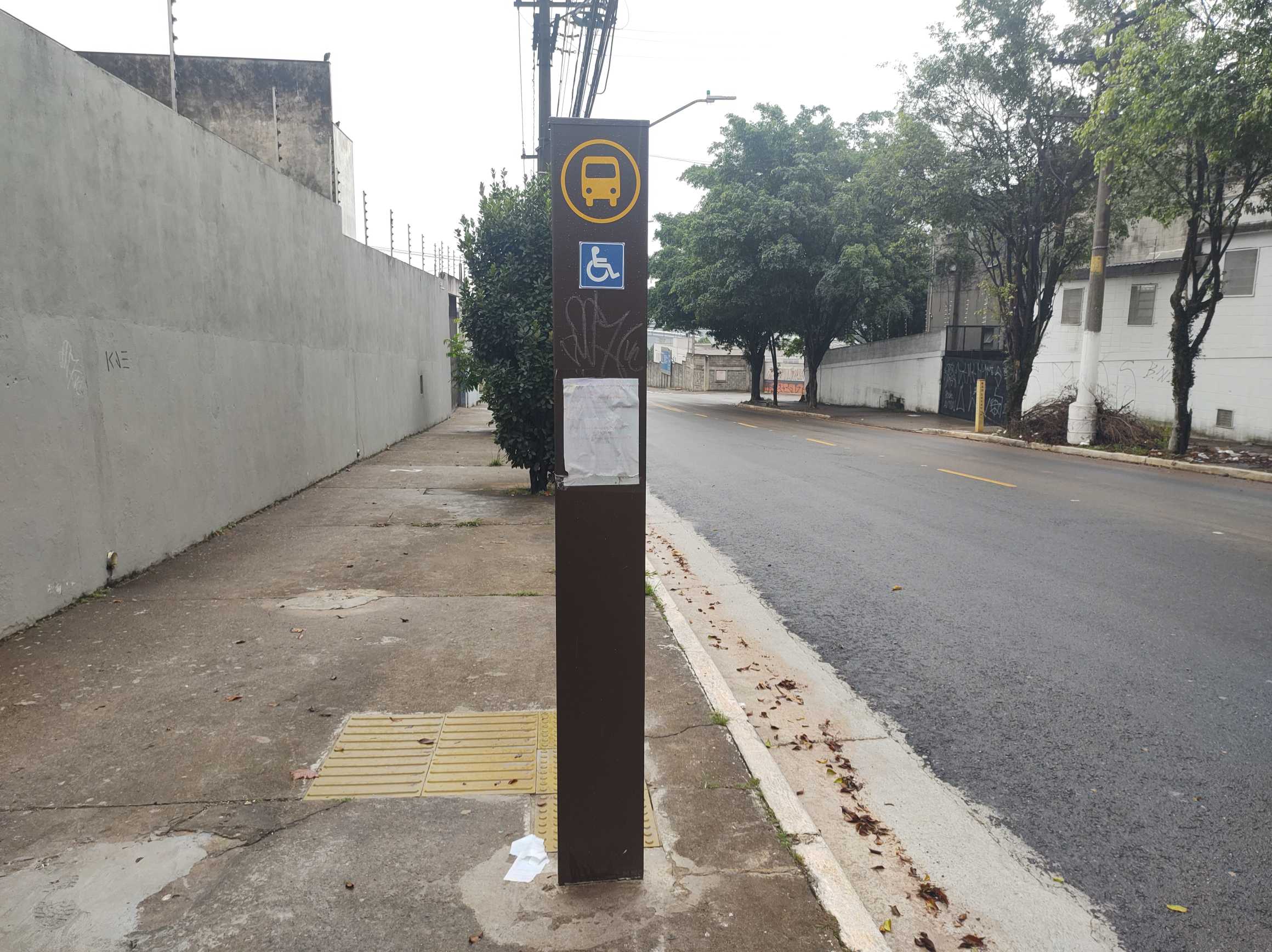 Taken by Anonymous
See R. Forte de Araxá, 710 stop, São Mateus, on the map
Public transit to R. Forte de Araxá, 710 stop in São Mateus
Looking for directions to R. Forte de Araxá, 710 in São Mateus, Brazil?
Download the Moovit App to find the current schedule and step-by-step directions for Bus or Metro routes that pass through R. Forte de Araxá, 710.
Looking for the nearest stops closest to R. Forte de Araxá, 710 ? Check out this list of closest stops to your destination: R. Castor; R. Forte do Rio Branco; Fazenda da Juta.
Bus: 4014-10, 4056-10, 3773-10, 407E-10.Metro: LINHA 15.
We make riding on public transit to R. Forte de Araxá, 710 easy, which is why over 1.7 billion users, including users in São Mateus trust Moovit as the best app for public transit.
Use the app to navigate to popular places including to the airport, hospital, stadium, grocery store, mall, coffee shop, school, college, and university.
The first line to this stop is 4014-10, at 5:27 AM, and the last line is 4014-10 at 1:20 AM.
710 Rua Forte Do Araxa, Mauá, Brazil
This stop serves SPTrans’s lines
- R. Castor, 51,
- R. Forte do Rio Branco, 238
Bus stops near R. Forte de Araxá, 710 stop
- Fazenda da Juta
Metro station near R. Forte de Araxá, 710 station
- Av. dos Metalúrgicos, 2100,
- Avenida Brigadeiro Luís Antônio 2337,
- Av. Cidade Jardim, 513,
- Avenida Santa Marina, 2523,
- Av. Sumaré,
- Biritiba Ussu (Esquina Mogi-Bertioga),
- Av. Sta. Catarina 861,
- Estrada Miguel João Ortiz 4750,
- R. Isabel Schmidt, 368,
- Avenida Nordestina 3720,
- Avenida Marginal do Ribeirão,
- R. Abílio Soares, 1160,
- Av. Moreira Guimarães, 510,
- Rua Boa Vista, 364,
- Av. Elísio Teixeira Leite, 4768,
- Av. Cupecê, 5550 - Jardim Miriam, São Paulo,
- Av. Prof. Vicente Ráo, 1700,
- Av. Angélica, 928,
- Estação de Transferência Jardim Miriam (Diadema),
- Av. Bosque da Saúde, 146
Popular public transit stations in São Mateus
Get around São Mateus by public transit!
Traveling around São Mateus has never been so easy. See step by step directions as you travel to any attraction, street or major public transit station. View bus and train schedules, arrival times, service alerts and detailed routes on a map, so you know exactly how to get to anywhere in São Mateus.
When traveling to any destination around São Mateus use Moovit's Live Directions with Get Off Notifications to know exactly where and how far to walk, how long to wait for your line, and how many stops are left. Moovit will alert you when it's time to get off — no need to constantly re-check whether yours is the next stop.
Wondering how to use public transit in São Mateus or how to pay for public transit in São Mateus? Moovit public transit app can help you navigate your way with public transit easily, and at minimum cost. It includes public transit fees, ticket prices, and costs. Looking for a map of São Mateus public transit lines? Moovit public transit app shows all public transit maps in São Mateus with all Bus, Train, Metro, Light Rail, Ferry, Gondola, Cable Car and Funicular routes and stops on an interactive map.
Sao Paulo Region has 8 transit type(s), including: Bus, Train, Metro, Light Rail, Ferry, Gondola, Cable Car and Funicular, operated by several transit agencies, including SPTrans, CPTM, ViaMobilidade, Aquático SP, SPTRANS, EMTU, ViaQuatro, Auto Ônibus Moratense, GRU Airport (Aeroporto de Guarulhos), Auto Viação Urubupungá (Cajamar), Viação Cometa, Auto Viação Urubupungá (Osasco), Viação Ultra / Rápido Brasil, Auto Viação Urubupungá (Santana de Parnaíba) and Expresso Luxo