R. Gomes, 523 stop - Saturday schedule
| Line | Direction | Time |
|---|---|---|
| 3046-10 | Metrô Tatuapé | 4:46 AM |
| 3046-10 | Metrô Tatuapé | 4:56 AM |
| 4729-10 | Metrô Belém | 4:58 AM |
| 3046-10 | Metrô Tatuapé | 5:07 AM |
| 3046-10 | Metrô Tatuapé | 5:18 AM |
| 4729-10 | Metrô Belém | 5:19 AM |
| 3046-10 | Metrô Tatuapé | 5:26 AM |
| 3046-10 | Metrô Tatuapé | 5:34 AM |
| 4729-10 | Metrô Belém | 5:40 AM |
| 3046-10 | Metrô Tatuapé | 5:42 AM |
| 3046-10 | Metrô Tatuapé | 5:50 AM |
| 3046-10 | Metrô Tatuapé | 5:58 AM |
| 4729-10 | Metrô Belém | 6:05 AM |
| 3046-10 | Metrô Tatuapé | 6:06 AM |
| 3046-10 | Metrô Tatuapé | 6:14 AM |
| 3046-10 | Metrô Tatuapé | 6:22 AM |
| 3046-10 | Metrô Tatuapé | 6:30 AM |
| 4729-10 | Metrô Belém | 6:30 AM |
| 3046-10 | Metrô Tatuapé | 6:38 AM |
| 3046-10 | Metrô Tatuapé | 6:46 AM |
| 4729-10 | Metrô Belém | 6:50 AM |
| 3046-10 | Metrô Tatuapé | 6:54 AM |
| 3046-10 | Metrô Tatuapé | 7:02 AM |
| 3046-10 | Metrô Tatuapé | 7:13 AM |
| 4729-10 | Metrô Belém | 7:13 AM |
Directions to R. Gomes, 523 stop (São Lucas) with public transit
The following transit lines have routes that pass near R. Gomes, 523
 Bus: 3021-10, 3046-10, 3141-10, 4729-10, 5141-10.
- Metro: LINHA 15, LINHA 2.
How to get to R. Gomes, 523 stop by bus?
Click on the bus route to see step by step directions with maps, line arrival times and updated time schedules.
How to get to R. Gomes, 523 stop by metro?
Click on the metro route to see step by step directions with maps, line arrival times and updated time schedules.
Bus stops near R. Gomes, 523 stop in São Lucas
- R. Gomes, 506, 1 min walk,
- Avenida Sapopemba, 4026, 4 min walk,
- Av. Vila Ema, 2398, 7 min walk,
Metro stations near R. Gomes, 523 station in São Lucas
- Vila Prudente, 18 min walk,
Bus lines to R. Gomes, 523 stop in São Lucas
- 3046-10, Vl. Guarani,
- 4729-10, Metrô Belém,
- N503-11, Terminal São Mateus - Terminal Parque Dom Pedro Ii,
- 573H-10, Hospital Sapopemba - Metrô Bresser,
- 574R-10, Terminal Sapopemba - Metrô Belém,
- 3134-10, Shopping Aricanduva - Metrô Tamanduateí,
- 3141-10, São Mateus - Terminal Parque Dom Pedro Ii,
- 3161-10, Jardim Colorado - Terminal Parque Dom Pedro Ii,
- 5141-10, Terminal Sapopemba - Praça Do Correio,
- 5144-10, Terminal Sapopemba - Terminal Princesa Isabel,
- 5145-10, Terminal Sapopemba - Praça Almeida Jr.,
- 102, Sao Paulo (Iv Centenario) - Sao Caetano do Sul (Bairro Fundacao),
- 314V-10, Vila Ema - Praça Almeida Jr.,
- 364A-10, Hospital Ipiranga - Shopping Aricanduva,
- 373T-10, Jardim Itápolis - Metrô Bresser,
- 514T-10, Terminal Sacomã - Conjunto Teotônio Vilela,
- N536-11, Terminal Sacomã - Jardim Itápolis (Circular),
- 3021-10, Parque Bancário - Terminal Vl Prudente,
- 3112-10, Vila Industrial - Metrô Belém,
- 3390-10, São Mateus - Terminal Parque Dom Pedro Ii,
What are the closest stations to R. Gomes, 523?
The closest stations to R. Gomes, 523 are:
- R. Gomes, 506 stop is 16 meters away, 1 min walk.
- Avenida Sapopemba, 4026 stop is 252 meters away, 4 min walk.
- Av. Vila Ema, 2398 stop is 470 meters away, 7 min walk.
- Vila Prudente station is 1403 meters away, 18 min walk.
Which bus lines stop near R. Gomes, 523?
These bus lines stop near R. Gomes, 523: 3021-10, 3046-10, 3141-10, 4729-10, 5141-10, 5145-10.
Which metro lines stop near R. Gomes, 523?
These metro lines stop near R. Gomes, 523: LINHA 15, LINHA 2.
What’s the nearest metro station to R. Gomes, 523 in São Lucas?
The nearest metro station to R. Gomes, 523 in São Lucas is Vila Prudente. It’s a 18 min walk away.
What’s the nearest bus station to R. Gomes, 523 in São Lucas?
The nearest bus station to R. Gomes, 523 in São Lucas is R. Gomes, 506. It’s a 1 min walk away.
What time is the first metro to R. Gomes, 523 in São Lucas?
The LINHA 2 is the first metro that goes to R. Gomes, 523 in São Lucas. It stops nearby at 4:40 AM.
What time is the last metro to R. Gomes, 523 in São Lucas?
The LINHA 15 is the last metro that goes to R. Gomes, 523 in São Lucas. It stops nearby at 12:26 AM.
What time is the first bus to R. Gomes, 523 in São Lucas?
The N503-11 is the first bus that goes to R. Gomes, 523 in São Lucas. It stops nearby at 3:08 AM.
What time is the last bus to R. Gomes, 523 in São Lucas?
The N536-11 is the last bus that goes to R. Gomes, 523 in São Lucas. It stops nearby at 4:33 AM.
R. Gomes, 523 station
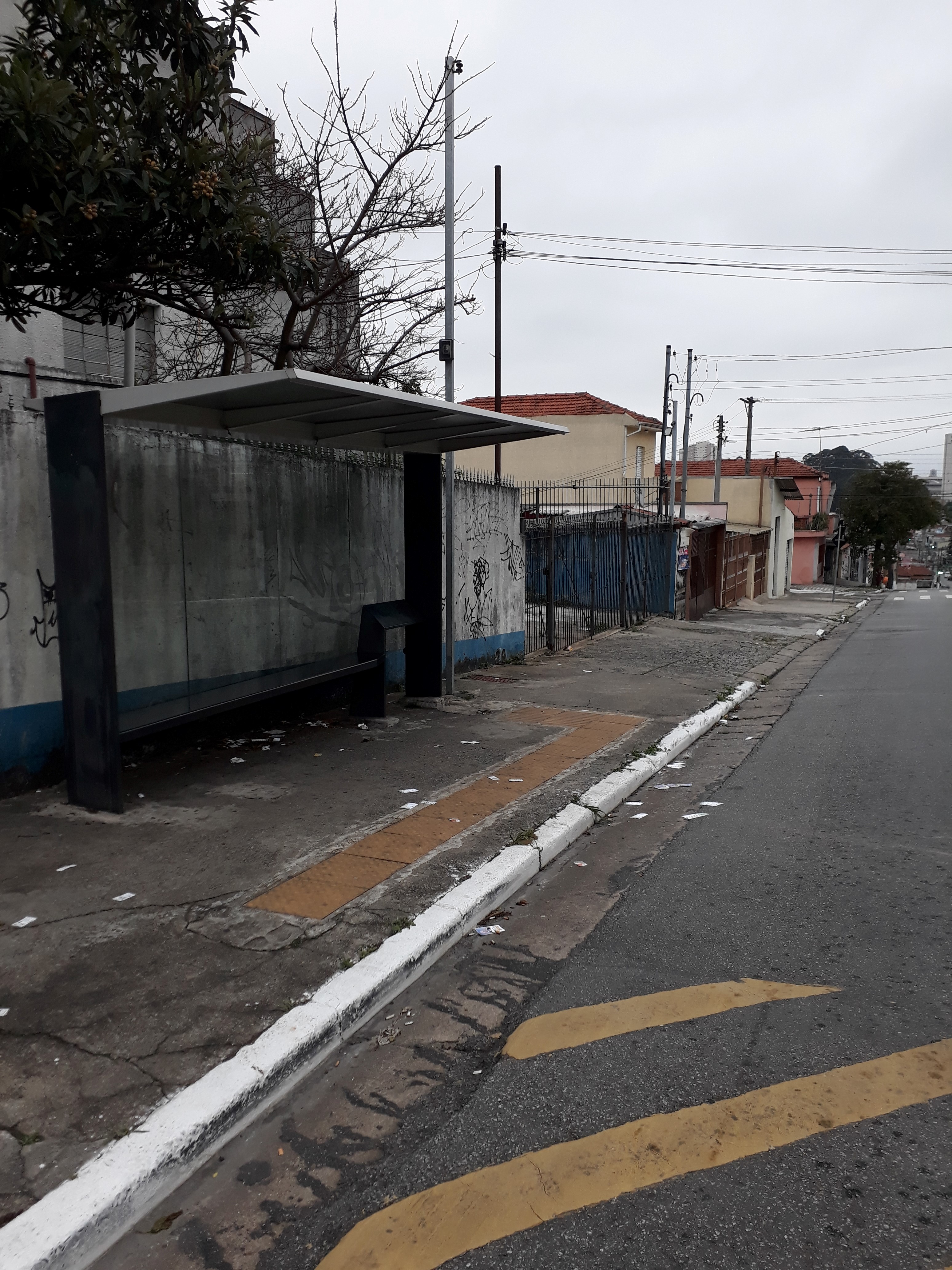 Taken by Anonymous
See R. Gomes, 523 stop, São Lucas, on the map
Public transit to R. Gomes, 523 stop in São Lucas
Looking for directions to R. Gomes, 523 in São Lucas, Brazil?
Download the Moovit App to find the current schedule and step-by-step directions for Metro or Bus routes that pass through R. Gomes, 523.
Looking for the nearest stops closest to R. Gomes, 523 ? Check out this list of closest stops to your destination: R. Gomes; Avenida Sapopemba; Av. Vila Ema; Vila Prudente.
Bus: 3021-10, 3046-10, 3141-10, 4729-10, 5141-10, 5145-10, N503-11, 573H-10, 574R-10, 3134-10, 314V-10, 364A-10, 373T-10, 514T-10, N536-11.Metro: LINHA 15, LINHA 2.
We make riding on public transit to R. Gomes, 523 easy, which is why over 1.7 billion users, including users in São Lucas trust Moovit as the best app for public transit.
Use the app to navigate to popular places including to the airport, hospital, stadium, grocery store, mall, coffee shop, school, college, and university.
The first line to this stop is 3046-10, at 4:46 AM, and the last line is 4729-10 at 12:13 AM.
Rua Gomes, São Paulo, Brazil
This stop serves SPTrans’s lines
- R. Gomes, 506,
- Avenida Sapopemba, 4026,
- Av. Vila Ema, 2398
Bus stops near R. Gomes, 523 stop
- Vila Prudente
Metro station near R. Gomes, 523 station
- Rua Nossa Senhora das Mercês 1147,
- Autódromo,
- Av. Amador Bueno da Veiga, 195 | Centro Médico São Gabriel - Penha de França, São Paulo,
- Avenida Paula Ferreira, 295,
- Av. Prof. Francisco Morato,
- Parada Terminal Grande Alvarenga,
- Parada Bragança Paulista B/C,
- Av. Ragueb Chohfi, 977,
- Estr. do M Boi Mirim, 3636,
- Av. Morumbi, 4884,
- Parada Eusébio Stevaux B/C,
- Avenida João Simão De Castro,
- R. S. Quirino, 1090,
- Av. Aricanduva, 5555,
- Av. Fuad Lutfalla, 1053,
- Av. Laranja da China, 656,
- R. Dr. Cesar Castiglioni Júnior, 230,
- Terminal Metrô Conceição Oeste,
- São Miguel Paulista,
- R. Henrique Hessel, 3825
Popular public transit stations in São Lucas
Get around São Lucas by public transit!
Traveling around São Lucas has never been so easy. See step by step directions as you travel to any attraction, street or major public transit station. View bus and train schedules, arrival times, service alerts and detailed routes on a map, so you know exactly how to get to anywhere in São Lucas.
When traveling to any destination around São Lucas use Moovit's Live Directions with Get Off Notifications to know exactly where and how far to walk, how long to wait for your line, and how many stops are left. Moovit will alert you when it's time to get off — no need to constantly re-check whether yours is the next stop.
Wondering how to use public transit in São Lucas or how to pay for public transit in São Lucas? Moovit public transit app can help you navigate your way with public transit easily, and at minimum cost. It includes public transit fees, ticket prices, and costs. Looking for a map of São Lucas public transit lines? Moovit public transit app shows all public transit maps in São Lucas with all Bus, Train, Metro, Light Rail, Ferry, Gondola, Cable Car and Funicular routes and stops on an interactive map.
Sao Paulo Region has 8 transit type(s), including: Bus, Train, Metro, Light Rail, Ferry, Gondola, Cable Car and Funicular, operated by several transit agencies, including SPTrans, CPTM, ViaMobilidade, Aquático SP, SPTRANS, EMTU, ViaQuatro, Auto Ônibus Moratense, GRU Airport (Aeroporto de Guarulhos), Auto Viação Urubupungá (Cajamar), Viação Cometa, Auto Viação Urubupungá (Osasco), Viação Ultra / Rápido Brasil, Auto Viação Urubupungá (Santana de Parnaíba) and Expresso Luxo