R. Gonçalves Dias, 600 stop - Saturday schedule
| Line | Direction | Time |
|---|---|---|
| 389 MAD. TARUMÃ / AUGUSTA | Praça Zacarias ↺ Augusta (Circular) | 4:24 AM |
| 801 CAMPINA DO SIQUEIRA / BATEL | Terminal Campina do Siqueira → Praça Zacarias | 6:05 AM |
| 862 BARIGUI | Barigui → Praça Carlos Gomes | 6:13 AM |
| 860 VILA SANDRA | Vila Sandra → Praça Rui Barbosa | 6:21 AM |
| 801 CAMPINA DO SIQUEIRA / BATEL | Terminal Campina do Siqueira → Praça Zacarias | 6:27 AM |
| 861 TRAMONTINA | Tramontina → Praça Rui Barbosa | 6:37 AM |
| 365 JARDIM SOCIAL / BATEL | Batel → Estação Fagundes Varela | 6:40 AM |
| 801 CAMPINA DO SIQUEIRA / BATEL | Terminal Campina do Siqueira → Praça Zacarias | 6:48 AM |
| 860 VILA SANDRA | Vila Sandra → Praça Rui Barbosa | 6:57 AM |
| 862 BARIGUI | Barigui → Praça Carlos Gomes | 7:04 AM |
| 801 CAMPINA DO SIQUEIRA / BATEL | Terminal Campina do Siqueira → Praça Zacarias | 7:10 AM |
| 365 JARDIM SOCIAL / BATEL | Batel → Estação Fagundes Varela | 7:25 AM |
| 801 CAMPINA DO SIQUEIRA / BATEL | Terminal Campina do Siqueira → Praça Zacarias | 7:31 AM |
| 860 VILA SANDRA | Vila Sandra → Praça Rui Barbosa | 7:36 AM |
| 861 TRAMONTINA | Tramontina → Praça Rui Barbosa | 7:43 AM |
| 801 CAMPINA DO SIQUEIRA / BATEL | Terminal Campina do Siqueira → Praça Zacarias | 7:53 AM |
| 862 BARIGUI | Barigui → Praça Carlos Gomes | 7:57 AM |
| 365 JARDIM SOCIAL / BATEL | Batel → Estação Fagundes Varela | 8:10 AM |
| 860 VILA SANDRA | Vila Sandra → Praça Rui Barbosa | 8:12 AM |
| 801 CAMPINA DO SIQUEIRA / BATEL | Terminal Campina do Siqueira → Praça Zacarias | 8:14 AM |
| 801 CAMPINA DO SIQUEIRA / BATEL | Terminal Campina do Siqueira → Praça Zacarias | 8:36 AM |
| 860 VILA SANDRA | Vila Sandra → Praça Rui Barbosa | 8:48 AM |
| 861 TRAMONTINA | Tramontina → Praça Rui Barbosa | 8:49 AM |
| 862 BARIGUI | Barigui → Praça Carlos Gomes | 8:50 AM |
| 365 JARDIM SOCIAL / BATEL | Batel → Estação Fagundes Varela | 8:55 AM |
Directions to R. Gonçalves Dias, 600 stop (Seminário) with public transit
The following transit lines have routes that pass near R. Gonçalves Dias, 600
 Bus: 365 JARDIM SOCIAL / BATEL, 760 SANTA QUITÉRIA, 801 CAMPINA DO SIQUEIRA / BATEL, 860 VILA SANDRA, 862 BARIGUI.
How to get to R. Gonçalves Dias, 600 stop by bus?
Click on the bus route to see step by step directions with maps, line arrival times and updated time schedules.
Bus stops near R. Gonçalves Dias, 600 stop in Seminário
- Av. Iguaçu, 3500, 2 min walk,
- R. Gonçalves Dias, 300, 3 min walk,
- R. Castro Alves, 99, 4 min walk,
- Av. Silva Jardim, 3800, 4 min walk,
Bus lines to R. Gonçalves Dias, 600 stop in Seminário
- 701 FAZENDINHA, FAZENDINHA,
- 703 CAIUÁ, CAIUÁ,
- 706 CAIUÁ - FAZENDINHA / CENTRO, CAIUÁ - FAZENDINHA / CENTRO,
- 760 SANTA QUITÉRIA, SANTA QUITÉRIA,
- 777 VILA VELHA, VILA VELHA,
- 778 COTOLENGO, COTOLENGO,
- 788 MAD. VILA VELHA, MAD. VILA VELHA,
- 789 MAD. CAIUÁ, MAD. CAIUÁ,
- 365 JARDIM SOCIAL / BATEL, Batel → Estação Fagundes Varela,
- 389 MAD. TARUMÃ / AUGUSTA, Praça Zacarias ↺ Augusta (Circular),
- 725 BATEL / MOSSUNGUÊ, Batel → Mossunguê,
- 801 CAMPINA DO SIQUEIRA / BATEL, Praça Zacarias → Terminal Campina do Siqueira,
- 860 VILA SANDRA, Praça Rui Barbosa → Vila Sandra,
- 861 TRAMONTINA, Praça Rui Barbosa → Tramontina,
- 862 BARIGUI, Barigui → Praça Carlos Gomes,
- H01 ARAUCÁRIA / GUADALUPE, Terminal Guadalupe → Terminal Araucária,
- G72 AREIA BRANCA / GUADALUPE, Terminal Guadalupe → Areia Branca,
- G72 QUITANDINHA / GUADALUPE, Terminal Guadalupe → Quitandinha,
- H97 ANGÉLICA / GUADALUPE, Terminal Guadalupe → Terminal Angélica,
- 265 AHÚ / LOS ANGELES, Los Angeles → Ahú,
What are the closest stations to R. Gonçalves Dias, 600?
The closest stations to R. Gonçalves Dias, 600 are:
- Av. Iguaçu, 3500 stop is 78 meters away, 2 min walk.
- R. Gonçalves Dias, 300 stop is 228 meters away, 3 min walk.
- R. Castro Alves, 99 stop is 271 meters away, 4 min walk.
- Av. Silva Jardim, 3800 stop is 291 meters away, 4 min walk.
Which bus lines stop near R. Gonçalves Dias, 600?
These bus lines stop near R. Gonçalves Dias, 600: 365 JARDIM SOCIAL / BATEL, 760 SANTA QUITÉRIA, 801 CAMPINA DO SIQUEIRA / BATEL, 860 VILA SANDRA, 862 BARIGUI, G72 AREIA BRANCA / GUADALUPE.
What’s the nearest bus station to R. Gonçalves Dias, 600 in Seminário?
The nearest bus station to R. Gonçalves Dias, 600 in Seminário is Av. Iguaçu, 3500. It’s a 2 min walk away.
What time is the first bus to R. Gonçalves Dias, 600 in Seminário?
The 788 MAD. VILA VELHA is the first bus that goes to R. Gonçalves Dias, 600 in Seminário. It stops nearby at 3:07 AM.
What time is the last bus to R. Gonçalves Dias, 600 in Seminário?
The 389 MAD. TARUMÃ / AUGUSTA is the last bus that goes to R. Gonçalves Dias, 600 in Seminário. It stops nearby at 2:39 AM.
R. Gonçalves Dias, 600 station
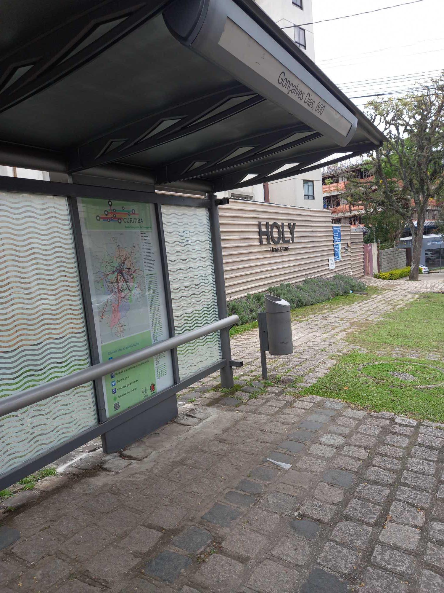 Taken by Anonymous
See R. Gonçalves Dias, 600 stop, Seminário, on the map
Public transit to R. Gonçalves Dias, 600 stop (ID: 180062) in Seminário
Looking for directions to R. Gonçalves Dias, 600 in Seminário, Brazil?
Download the Moovit App to find the current schedule and step-by-step directions for Bus routes that pass through R. Gonçalves Dias, 600.
Looking for the nearest stops closest to R. Gonçalves Dias, 600 ? Check out this list of closest stops to your destination: Av. Iguaçu; R. Gonçalves Dias; R. Castro Alves; Av. Silva Jardim.
Bus: 365 JARDIM SOCIAL / BATEL, 760 SANTA QUITÉRIA, 801 CAMPINA DO SIQUEIRA / BATEL, 860 VILA SANDRA, 862 BARIGUI, G72 AREIA BRANCA / GUADALUPE, 701 FAZENDINHA, 703 CAIUÁ, 706 CAIUÁ - FAZENDINHA / CENTRO, 777 VILA VELHA, 389 MAD. TARUMÃ / AUGUSTA, 725 BATEL / MOSSUNGUÊ, H01 ARAUCÁRIA / GUADALUPE, G72 QUITANDINHA / GUADALUPE, H97 ANGÉLICA / GUADALUPE, 265 AHÚ / LOS ANGELES.
We make riding on public transit to R. Gonçalves Dias, 600 easy, which is why over 1.7 billion users, including users in Seminário trust Moovit as the best app for public transit.
Use the app to navigate to popular places including to the airport, hospital, stadium, grocery store, mall, coffee shop, school, college, and university.
R. Gonçalves Dias, 600 stop’s code is 180062
The first line to this stop is 389 MAD. TARUMÃ / AUGUSTA, at 4:24 AM, and the last line is 389 MAD. TARUMÃ / AUGUSTA at 2:39 AM.
496 Rua Goncalves Dias, Curitiba, Brazil
This stop serves URBS (Cartões bancários / Cartão URBS)’s lines
Popular routes from R. Gonçalves Dias, 600 stop, Seminário
- Av. Iguaçu, 3500,
- R. Gonçalves Dias, 300,
- R. Castro Alves, 99,
- Av. Silva Jardim, 3800
Bus stops near R. Gonçalves Dias, 600 stop
- Rodovia Do Xisto (Br 476) - Entrada Guajuvira De Cima,
- Av. Presidente Kennedy, 600,
- R. Francisco Derosso, 1272,
- Rua Tobias De Macedo Júnior, 427,
- R. Luíz Ronaldo Canalli, 3294,
- R. José Loureiro, 720,
- Rua Francisco Mottin Neto, 284,
- Estrada Greder, 1325,
- PUC,
- R. Padre Germano Mayer, 711,
- Rua Abel Scuissiato, 2574,
- Rua Jornalista Emílio Zolá Florenzano, 553,
- R. Francisco Derosso, 3614,
- R. Antônio Escorsin, 1600,
- Rua Presidente Juscelino Kubitschek De Oliveira, 2227,
- Rodovia Do Caqui (Pr 506) - Acesso Br 116,
- Rua Dom Pedro Ii, 1004,
- R. José Ursolino Filho, 628 (Unidade de Saúde Aliança),
- Terminal Campo Comprido,
- Rua Salgado Filho 2227
Popular public transit stations in Seminário
Get around Seminário by public transit!
Traveling around Seminário has never been so easy. See step by step directions as you travel to any attraction, street or major public transit station. View bus and train schedules, arrival times, service alerts and detailed routes on a map, so you know exactly how to get to anywhere in Seminário.
When traveling to any destination around Seminário use Moovit's Live Directions with Get Off Notifications to know exactly where and how far to walk, how long to wait for your line, and how many stops are left. Moovit will alert you when it's time to get off — no need to constantly re-check whether yours is the next stop.
Wondering how to use public transit in Seminário or how to pay for public transit in Seminário? Moovit public transit app can help you navigate your way with public transit easily, and at minimum cost. It includes public transit fees, ticket prices, and costs. Looking for a map of Seminário public transit lines? Moovit public transit app shows all public transit maps in Seminário with all Bus and Cable Car routes and stops on an interactive map.
Curitiba Region has 2 transit type(s), including: Bus and Cable Car, operated by several transit agencies, including Sistema Integrado de Mobilidade (URBS), Sistema Integrado de Mobilidade (AMEP), URBS (Cartões bancários e Dinheiro), URBS (Cartões bancários / Cartão URBS), AMEP (Cartões bancários / Cartão MetroCard), AMEP (Cartões bancários / Cartão MetroCard / Dinheiro), Viação Colombo (Dinheiro), TRIAR (Cartão TRIAR / Dinheiro), Empresa Curitiba Cerro Azul (Dinheiro), Expresso Penha (Dinheiro), Empresa Campo Alto Tijucas (Dinheiro), Auto Viação São José (Cartão VEM / Dinheiro), BRT S/A (Cartão VEM / Dinheiro), TransPiedade (Cartão Cidadão / Dinheiro) and Oceânica Sul (Cartão Transporte / Dinheiro)