R. Pedra Azul, 598 stop - Wednesday schedule
| Line | Direction | Time |
|---|---|---|
| 4114-10 | Jd. da Saúde | 6:21 AM |
| 4114-10 | Jd. da Saúde | 7:14 AM |
| 4114-10 | Jd. da Saúde | 8:02 AM |
| 4114-10 | Jd. da Saúde | 8:47 AM |
| 4114-10 | Jd. da Saúde | 9:37 AM |
| 4114-10 | Jd. da Saúde | 10:27 AM |
| 4114-10 | Jd. da Saúde | 11:17 AM |
| 4114-10 | Jd. da Saúde | 12:12 PM |
| 4114-10 | Jd. da Saúde | 1:07 PM |
| 4114-10 | Jd. da Saúde | 2:02 PM |
| 4114-10 | Jd. da Saúde | 2:57 PM |
| 4114-10 | Jd. da Saúde | 3:57 PM |
| 4114-10 | Jd. da Saúde | 4:42 PM |
| 4114-10 | Jd. da Saúde | 5:27 PM |
| 4114-10 | Jd. da Saúde | 6:17 PM |
| 4114-10 | Jd. da Saúde | 7:12 PM |
| 4114-10 | Jd. da Saúde | 7:57 PM |
| 4114-10 | Jd. da Saúde | 8:41 PM |
| 4114-10 | Jd. da Saúde | 9:31 PM |
| 4114-10 | Jd. da Saúde | 10:19 PM |
| 4114-10 | Jd. da Saúde | 10:59 PM |
| 4114-10 | Jd. da Saúde | 11:49 PM |
| 4114-10 | Jd. da Saúde | 12:39 AM |
Directions to R. Pedra Azul, 598 stop (Liberdade) with public transit
The following transit lines have routes that pass near R. Pedra Azul, 598
 Bus: 4114-10, 478P-10, 5705-10, 574A-10, 857R-10.
- Metro: LINHA 1, LINHA 2, LINHA 5.
- Train: LINHA 10.
How to get to R. Pedra Azul, 598 stop by bus?
Click on the bus route to see step by step directions with maps, line arrival times and updated time schedules.
How to get to R. Pedra Azul, 598 stop by train?
Click on the train route to see step by step directions with maps, line arrival times and updated time schedules.
How to get to R. Pedra Azul, 598 stop by metro?
Click on the metro route to see step by step directions with maps, line arrival times and updated time schedules.
Metro stations near R. Pedra Azul, 598 station in Liberdade
- Vila Mariana, 1 min walk,
- Chácara Klabin, 11 min walk,
Bus stops near R. Pedra Azul, 598 stop in Liberdade
- R. Pedra Azul, 2 min walk,
- R. José do Patrocínio, 386, 7 min walk,
- Av. Lacerda Franco, 1458, 7 min walk,
- Av. Lacerda Franco, 1855, 8 min walk,
- Rua Topázio, 291, 9 min walk,
Bus lines to R. Pedra Azul, 598 stop in Liberdade
- 4114-10, Term. Pq. D. Pedro II,
- 955P-10, Pq. Ibirapuera,
- 408A-10, Cardoso de Almeida,
- 274P-10, Penha - Metrô Vila Mariana,
- 476G-41, Vila Industrial - Metrô Ana Rosa,
- 477A-10, Sacomã - Terminal Pinheiros,
- 478P-10, Sacomã - Vila Romana,
- N508-11, Terminal Sacomã - Terminal Parque Dom Pedro Ii,
- N537-11, Metrô Vila Mariana - Terminal Vila Prudente (Circular),
- 574A-10, Americanópolis - Largo Cambuci,
- 874T-10, Ipiranga - Lapa,
- 4112-10, Santa Margarida Maria - Praça Da República,
- 4113-10, Gentil De Moura - Praça Da República (Circular),
- 4115-10, Shopping Plaza Sul - Praça Da República (Circular),
- 5705-10, Metrô Vergueiro,
- 508L-10, Terminal Princesa Isabel - Aclimação (Circular),
- 857R-10, Terminal Campo Limpo - Aclimação,
What are the closest stations to R. Pedra Azul, 598?
The closest stations to R. Pedra Azul, 598 are:
- Vila Mariana station is 32 meters away, 1 min walk.
- R. Pedra Azul stop is 143 meters away, 2 min walk.
- R. José do Patrocínio, 386 stop is 501 meters away, 7 min walk.
- Av. Lacerda Franco, 1458 stop is 546 meters away, 7 min walk.
- Av. Lacerda Franco, 1855 stop is 551 meters away, 8 min walk.
- Rua Topázio, 291 stop is 657 meters away, 9 min walk.
- Chácara Klabin station is 783 meters away, 11 min walk.
Which bus lines stop near R. Pedra Azul, 598?
These bus lines stop near R. Pedra Azul, 598: 4114-10, 478P-10, 5705-10, 574A-10, 857R-10.
Which metro lines stop near R. Pedra Azul, 598?
These metro lines stop near R. Pedra Azul, 598: LINHA 1, LINHA 2.
Which train line stops near R. Pedra Azul, 598?
LINHA 10 (Rio Grande da Serra)
What’s the nearest metro station to R. Pedra Azul, 598 in Liberdade?
The nearest metro station to R. Pedra Azul, 598 in Liberdade is Vila Mariana. It’s a 1 min walk away.
What’s the nearest bus station to R. Pedra Azul, 598 in Liberdade?
The nearest bus station to R. Pedra Azul, 598 in Liberdade is R. Pedra Azul. It’s a 2 min walk away.
What time is the first metro to R. Pedra Azul, 598 in Liberdade?
The LINHA 5 is the first metro that goes to R. Pedra Azul, 598 in Liberdade. It stops nearby at 4:40 AM.
What time is the last metro to R. Pedra Azul, 598 in Liberdade?
The LINHA 5 is the last metro that goes to R. Pedra Azul, 598 in Liberdade. It stops nearby at 12:31 AM.
What time is the first bus to R. Pedra Azul, 598 in Liberdade?
The N537-11 is the first bus that goes to R. Pedra Azul, 598 in Liberdade. It stops nearby at 3:04 AM.
What time is the last bus to R. Pedra Azul, 598 in Liberdade?
The N537-11 is the last bus that goes to R. Pedra Azul, 598 in Liberdade. It stops nearby at 3:07 AM.
R. Pedra Azul, 598 station
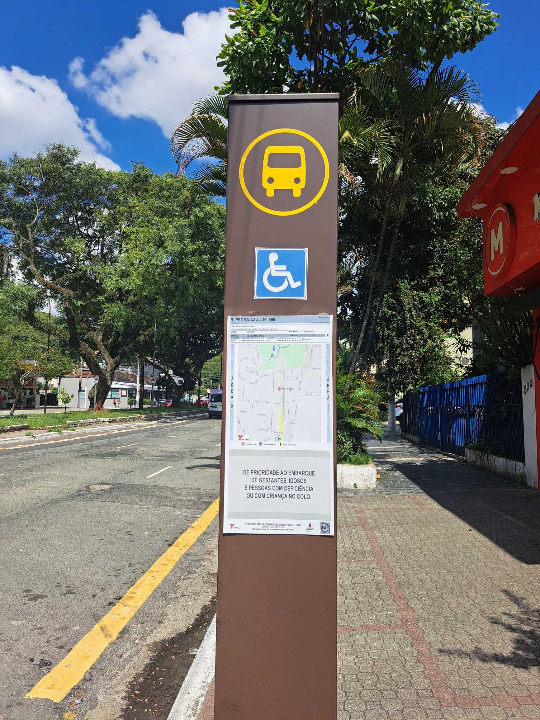 Taken by Anonymous
See R. Pedra Azul, 598 stop, Liberdade, on the map
Public transit to R. Pedra Azul, 598 stop in Liberdade
Looking for directions to R. Pedra Azul, 598 in Liberdade, Brazil?
Download the Moovit App to find the current schedule and step-by-step directions for Bus, Metro or Train routes that pass through R. Pedra Azul, 598.
Looking for the nearest stops closest to R. Pedra Azul, 598 ? Check out this list of closest stops to your destination: Vila Mariana; R. Pedra Azul; R. José do Patrocínio; Av. Lacerda Franco; Av. Lacerda Franco; Rua Topázio; Chácara Klabin.
Bus: 4114-10, 478P-10, 5705-10, 574A-10, 857R-10, 955P-10, 408A-10, 274P-10, 476G-41, 477A-10, N508-11.Metro: LINHA 1, LINHA 2, LINHA 5.Train: LINHA 10.
We make riding on public transit to R. Pedra Azul, 598 easy, which is why over 1.7 billion users, including users in Liberdade trust Moovit as the best app for public transit.
Use the app to navigate to popular places including to the airport, hospital, stadium, grocery store, mall, coffee shop, school, college, and university.
The first line to this stop is 4114-10, at 6:21 AM, and the last line is 4114-10 at 12:39 AM.
550 Rua Pedra Azul, São Paulo, Brazil
This stop serves SPTrans’s lines
- Vila Mariana,
- Chácara Klabin
Metro stations near R. Pedra Azul, 598 station
- R. Pedra Azul,
- R. José do Patrocínio, 386,
- Av. Lacerda Franco, 1458,
- Av. Lacerda Franco, 1855,
- Rua Topázio, 291
Bus stops near R. Pedra Azul, 598 stop
- Av. Celso Garcia, 2425 - Belenzinho, São Paulo,
- R. da Glória, 138,
- Alto da Boa Vista,
- Brigadeiro,
- R. Domingos de Morais, 2800,
- Avenida Marechal Tito 6037,
- Estação de Transferência Jardim Miriam (Diadema),
- Avenida Jornalista Roberto Marinho,
- Avenida Rangel Pestana,
- R. Dr. Melo Nogueira, 60,
- Av. Jurubatuba, 73,
- Parada Matriz (São Bernardo),
- Santa Rita,
- Terminal Jardim 1º De Maio,
- Av. Diógenes Ribeiro de Lima, 2200,
- Av. Inconfidência Mineira, 1467,
- Morumbi,
- Av. Brig. Faria Lima, 3730,
- Terminal Campo Limpo,
- Ipiranga
Popular public transit stations in Liberdade
Get around Liberdade by public transit!
Traveling around Liberdade has never been so easy. See step by step directions as you travel to any attraction, street or major public transit station. View bus and train schedules, arrival times, service alerts and detailed routes on a map, so you know exactly how to get to anywhere in Liberdade.
When traveling to any destination around Liberdade use Moovit's Live Directions with Get Off Notifications to know exactly where and how far to walk, how long to wait for your line, and how many stops are left. Moovit will alert you when it's time to get off — no need to constantly re-check whether yours is the next stop.
Wondering how to use public transit in Liberdade or how to pay for public transit in Liberdade? Moovit public transit app can help you navigate your way with public transit easily, and at minimum cost. It includes public transit fees, ticket prices, and costs. Looking for a map of Liberdade public transit lines? Moovit public transit app shows all public transit maps in Liberdade with all Bus, Train, Metro, Light Rail, Ferry, Gondola, Cable Car and Funicular routes and stops on an interactive map.
Sao Paulo Region has 8 transit type(s), including: Bus, Train, Metro, Light Rail, Ferry, Gondola, Cable Car and Funicular, operated by several transit agencies, including SPTrans, CPTM, ViaMobilidade, Aquático SP, SPTRANS, EMTU, ViaQuatro, Auto Ônibus Moratense, GRU Airport (Aeroporto de Guarulhos), Auto Viação Urubupungá (Cajamar), Viação Cometa, Auto Viação Urubupungá (Osasco), Viação Ultra / Rápido Brasil, Auto Viação Urubupungá (Santana de Parnaíba) and Expresso Luxo