How to get to R &R Construction Company by bus?
Click on the bus route to see step by step directions with maps, line arrival times and updated time schedules.
From B.M.C. Durfee High School, Fall River
86 minFrom Amazon Fulfillment Bos7, Fall River
123 minFrom Lizzy Borden House, Fall River
67 minFrom Bristol Community College, Fall River
88 minFrom Walmart Fall River Supercenter, Fall River
101 minFrom Charlton Memorial Hospital, Fall River
106 minFrom Barahona Express, Providence
106 min
Bus stops near R &R Construction Company in Boston
Bus lines to R &R Construction Company in Boston
What are the closest stations to R &R Construction Company?
The closest stations to R &R Construction Company are:
- Broadway Before Friendship is 26 yards away, 1 min walk.
- Memorial After Cliff Walk is 614 yards away, 8 min walk.
- Kay After Brinley is 760 yards away, 9 min walk.
Which bus lines stop near R &R Construction Company?
These bus lines stop near R &R Construction Company: 24L, 60.
What’s the nearest bus station to R &R Construction Company in Boston?
The nearest bus station to R &R Construction Company in Boston is Broadway Before Friendship. It’s a 1 min walk away.
What time is the first bus to R &R Construction Company in Boston?
The 60 is the first bus that goes to R &R Construction Company in Boston. It stops nearby at 4:41 AM.
What time is the last bus to R &R Construction Company in Boston?
The 60 is the last bus that goes to R &R Construction Company in Boston. It stops nearby at 1:20 AM.
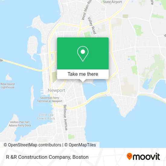
See R &R Construction Company, Boston, on the map
Public Transit to R &R Construction Company in Boston
Wondering how to get to R &R Construction Company in Boston? Moovit helps you find the best way to get to R &R Construction Company with step-by-step directions from the nearest public transit station.
Moovit provides free maps and live directions to help you navigate through your city. View schedules, routes, timetables, and find out how long does it take to get to R &R Construction Company in real time.
Looking for the nearest stop or station to R &R Construction Company? Check out this list of stops closest to your destination: Broadway Before Friendship; Memorial After Cliff Walk; Kay After Brinley.
Bus: 24L, 60, 63, 68, 67.
Want to see if there’s another route that gets you there at an earlier time? Moovit helps you find alternative routes or times. Get directions from and directions to R &R Construction Company easily from the Moovit App or Website.
We make riding to R &R Construction Company easy, which is why over 1.7 million users, including users in Boston, trust Moovit as the best app for public transit. You don’t need to download an individual bus app or train app, Moovit is your all-in-one transit app that helps you find the best bus time or train time available.
For information on prices of bus, costs and ride fares to R &R Construction Company, please check the Moovit app.
Use the app to navigate to popular places including to the airport, hospital, stadium, grocery store, mall, coffee shop, school, college, and university.
R &R Construction Company Address: 54 Ellery Rd street in Boston
- Tigers Eye Fine Imports,
- Newportribroker,
- Island Rugby,
- Fleur Soiree Floral Event Design,
- Newport Mopedz,
- South County Health Urology - Newport,
- Ri Homes for Sale,
- Beech Tree Inn & Cottage Bed and Breakfast,
- Compass Management Corporation,
- Blistering Auto Repair Auto Repair,
- Skinpros,
- Efc Newport,
- Marshall Fairgrounds,
- Newport Neurological and Electro Diagnostic Center,
- J. Blumen & Associates,
- Denise Labelle, Phd,
- Tresor Estate Sales,
- Rhode Island Towing,
- Prima Care,
- USPS Collection Box - Blue Box
Places Near R &R Construction Company (Boston)
- Seaport District, Boston,
- Boston Medical Center, Boston,
- Boston Children's Hospital, Boston,
- Quincy Market, Boston,
- Mgm Music Hall, Boston,
- Cheers, Boston,
- House Of Blues, Boston,
- Leader Bank Pavilion (Leader Bank Pavillion), Boston,
- Massachusetts General Hospital, Boston,
- Castle Island, Boston,
- Museum Of Science, Boston,
- Boston Common, Boston,
- Faneuil Hall, Boston,
- North End, Boston,
- Isabella Stewart Gardner Museum, Boston,
- Boston Convention & Exhibition Center, Boston,
- Wang Theater, Boston,
- Prudential Center, Boston,
- Td Garden, Boston,
- Wilbur Theatre, Boston
How to get to popular places in Boston with public transit
Get around Boston by public transit!
Traveling around Boston has never been so easy. See step by step directions as you travel to any attraction, street or major public transit station. View bus and train schedules, arrival times, service alerts and detailed routes on a map, so you know exactly how to get to anywhere in Boston.
When traveling to any destination around Boston use Moovit's Live Directions with Get Off Notifications to know exactly where and how far to walk, how long to wait for your line, and how many stops are left. Moovit will alert you when it's time to get off — no need to constantly re-check whether yours is the next stop.
Wondering how to use public transit in Boston or how to pay for public transit in Boston? Moovit public transit app can help you navigate your way with public transit easily, and at minimum cost. It includes public transit fees, ticket prices, and costs. Looking for a map of Boston public transit lines? Moovit public transit app shows all public transit maps in Boston with all Bus, Train, Subway and Ferry routes and stops on an interactive map.
Boston has 4 transit type(s), including: Bus, Train, Subway and Ferry, operated by several transit agencies, including MBTA, Southeastern Regional Transit Authority, MetroWest Regional Transit Authority, Rhode Island Public Transit Authority, WRTA, Lowell Regional Transit Authority, Merrimack Valley Transit, Montachusett Regional Transit Authority, Cape Cod Regional Transit Authority, Brockton Area Transit Authority, Martha's Vineyard Transit Authority, the WAVE - Nantucket Regional Transit Authority, GATRA, Cape Ann Transportation Authority and Massport