R. Simão Borges, 93 stop - Monday schedule
| Line | Direction | Time |
|---|---|---|
| 172Y-10 | Metrô Belém | 4:48 AM |
| 172N-10 | Shop. Center Norte | 4:49 AM |
| 2161-10 | Pça. do Correio | 4:51 AM |
| 172Y-10 | Metrô Belém | 5:03 AM |
| 172N-10 | Shop. Center Norte | 5:10 AM |
| 2161-10 | Pça. do Correio | 5:12 AM |
| 271M-10 | Metrô Santana | 5:17 AM |
| 172Y-10 | Metrô Belém | 5:19 AM |
| 172N-10 | Shop. Center Norte | 5:26 AM |
| 172Y-10 | Metrô Belém | 5:29 AM |
| 271M-10 | Metrô Santana | 5:33 AM |
| 2161-10 | Pça. do Correio | 5:33 AM |
| 172N-10 | Shop. Center Norte | 5:38 AM |
| 172Y-10 | Metrô Belém | 5:39 AM |
| 271M-10 | Metrô Santana | 5:43 AM |
| 172Y-10 | Metrô Belém | 5:49 AM |
| 172N-10 | Shop. Center Norte | 5:50 AM |
| 271M-10 | Metrô Santana | 5:53 AM |
| 2161-10 | Pça. do Correio | 5:53 AM |
| 172Y-10 | Metrô Belém | 5:59 AM |
| 172N-10 | Shop. Center Norte | 6:02 AM |
| 271M-10 | Metrô Santana | 6:03 AM |
| 2161-10 | Pça. do Correio | 6:08 AM |
| 172Y-10 | Metrô Belém | 6:09 AM |
| 271M-10 | Metrô Santana | 6:13 AM |
Directions to R. Simão Borges, 93 stop (Vila Maria) with public transit
The following transit lines have routes that pass near R. Simão Borges, 93
 Bus: 119C-10, 172N-10, 2123-10, 2127-10, 271M-10.
- Metro: LINHA 1.
How to get to R. Simão Borges, 93 stop by bus?
Click on the bus route to see step by step directions with maps, line arrival times and updated time schedules.
How to get to R. Simão Borges, 93 stop by metro?
Click on the metro route to see step by step directions with maps, line arrival times and updated time schedules.
Bus stops near R. Simão Borges, 93 stop in Vila Maria
- R. Simão Borges, 8, 2 min walk,
- R. do Imperador, 1642, 2 min walk,
- R. do Imperador, 1450, 5 min walk,
- R. Cassio de Almeida, 780, 5 min walk,
- Av. Alberto Byington, 1189, 8 min walk,
Metro stations near R. Simão Borges, 93 station in Vila Maria
- Tucuruvi, 7 min walk,
Bus lines to R. Simão Borges, 93 stop in Vila Maria
- 172N-10, Metrô Belém,
- 172Y-10, Vl. Constança,
- 271M-10, Metrô Santana,
- 2161-10, Pq. Edu Chaves,
- 119C-10, Term. Princ. Isabel,
- 172K-10, Jd. Tremembé,
- N507-11, Metrô Santana,
- N204-11, Metrô Tucuruvi,
- 2123-10, Vl. Medeiros,
- 2127-10, Liberdade,
- N233-11, Vl. Sabrina,
- 172P-10, Vl. Zilda,
- 271A-10, Term. Penha,
- 351F-10, Jaçanã,
- 701A-10, Pq. Edu Chaves,
- 1156-10, Pça. do Correio,
What are the closest stations to R. Simão Borges, 93?
The closest stations to R. Simão Borges, 93 are:
- R. Simão Borges, 8 stop is 91 meters away, 2 min walk.
- R. do Imperador, 1642 stop is 128 meters away, 2 min walk.
- R. do Imperador, 1450 stop is 341 meters away, 5 min walk.
- R. Cassio de Almeida, 780 stop is 345 meters away, 5 min walk.
- Tucuruvi station is 491 meters away, 7 min walk.
- Av. Alberto Byington, 1189 stop is 617 meters away, 8 min walk.
Which bus lines stop near R. Simão Borges, 93?
These bus lines stop near R. Simão Borges, 93: 119C-10, 172N-10, 2123-10, 2127-10, 271M-10.
Which metro line stops near R. Simão Borges, 93?
LINHA 1 (Tucuruvi)
What’s the nearest metro station to R. Simão Borges, 93 in Vila Maria?
The nearest metro station to R. Simão Borges, 93 in Vila Maria is Tucuruvi. It’s a 7 min walk away.
What’s the nearest bus station to R. Simão Borges, 93 in Vila Maria?
The nearest bus stations to R. Simão Borges, 93 in Vila Maria are R. Simão Borges, 8 and R. do Imperador, 1642. The closest one is a 2 min walk away.
What time is the first metro to R. Simão Borges, 93 in Vila Maria?
The LINHA 1 is the first metro that goes to R. Simão Borges, 93 in Vila Maria. It stops nearby at 4:40 AM.
What time is the last metro to R. Simão Borges, 93 in Vila Maria?
The LINHA 1 is the last metro that goes to R. Simão Borges, 93 in Vila Maria. It stops nearby at 12:44 AM.
What time is the first bus to R. Simão Borges, 93 in Vila Maria?
The N507-11 is the first bus that goes to R. Simão Borges, 93 in Vila Maria. It stops nearby at 3:02 AM.
What time is the last bus to R. Simão Borges, 93 in Vila Maria?
The N204-11 is the last bus that goes to R. Simão Borges, 93 in Vila Maria. It stops nearby at 3:07 AM.
R. Simão Borges, 93 station
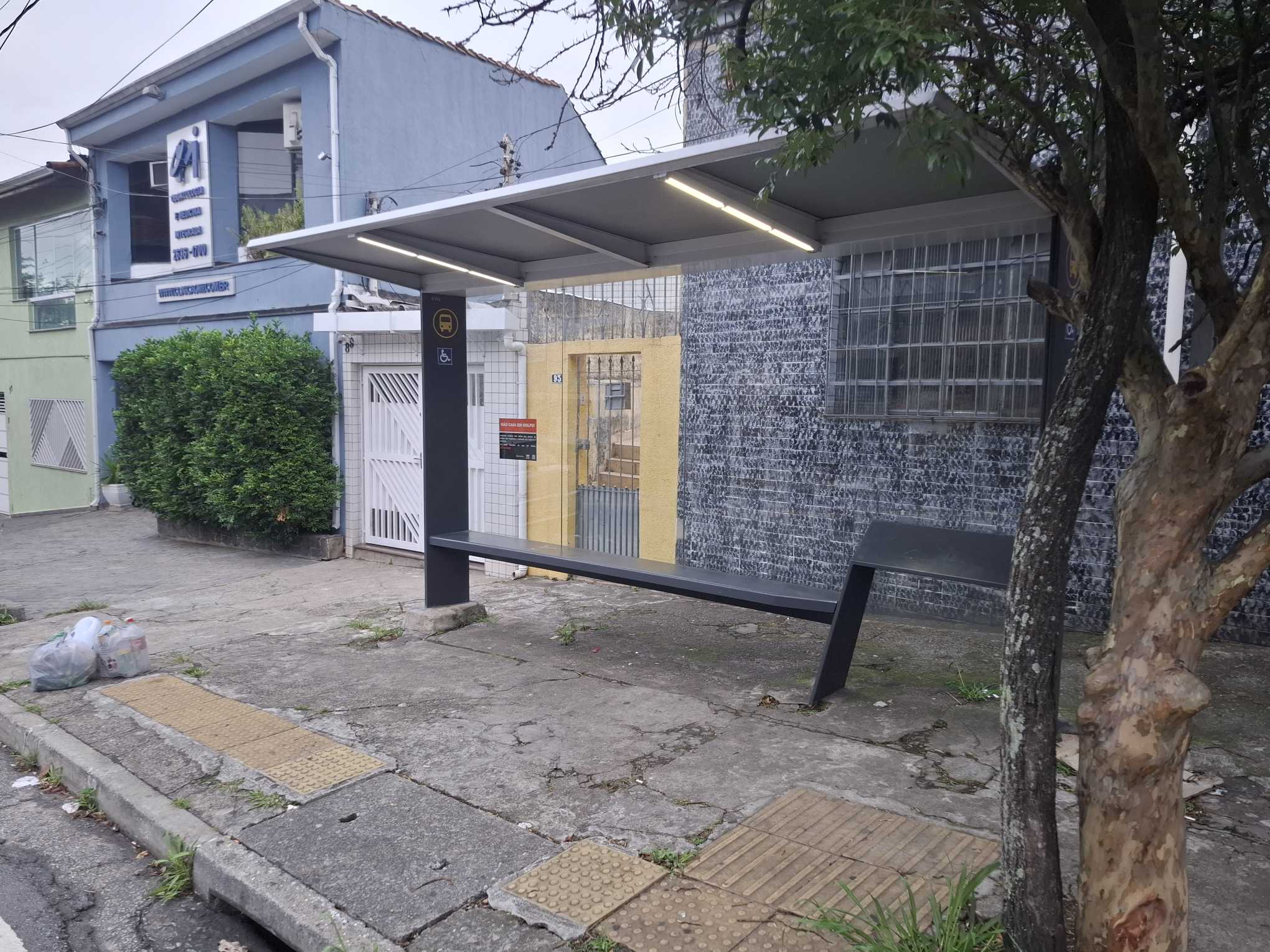 Taken by Anonymous
See R. Simão Borges, 93 stop, Vila Maria, on the map
Public transit to R. Simão Borges, 93 stop in Vila Maria
Looking for directions to R. Simão Borges, 93 in Vila Maria, Brazil?
Download the Moovit App to find the current schedule and step-by-step directions for Bus or Metro routes that pass through R. Simão Borges, 93.
Looking for the nearest stops closest to R. Simão Borges, 93 ? Check out this list of closest stops to your destination: R. Simão Borges; R. do Imperador; R. do Imperador; R. Cassio de Almeida; Tucuruvi; Av. Alberto Byington.
Bus: 119C-10, 172N-10, 2123-10, 2127-10, 271M-10, 172Y-10, 2161-10, 172K-10, N507-11, N204-11, N233-11, 172P-10, 271A-10, 351F-10, 701A-10, 1156-10.Metro: LINHA 1.
We make riding on public transit to R. Simão Borges, 93 easy, which is why over 1.7 billion users, including users in Vila Maria trust Moovit as the best app for public transit.
Use the app to navigate to popular places including to the airport, hospital, stadium, grocery store, mall, coffee shop, school, college, and university.
The first line to this stop is 172Y-10, at 4:48 AM, and the last line is 172N-10 at 12:49 AM.
93 Rua Simão Borges, São Paulo, Brazil
This stop serves SPTrans’s lines
- R. Simão Borges, 8,
- R. do Imperador, 1642,
- R. do Imperador, 1450,
- R. Cassio de Almeida, 780,
- Av. Alberto Byington, 1189
Bus stops near R. Simão Borges, 93 stop
- Tucuruvi
Metro station near R. Simão Borges, 93 station
- Osasco,
- Av. Mário Lopes Leão, 120,
- Avenida Presidente Juscelino Kubitschek 1900,
- Av. Guilherme Cotching, 380,
- Vila Madalena,
- Av. Miguel Ignácio Curi, 44,
- Br-116 Rod. Régis Bittencourt, Km 294 Norte,
- Terminal Paço- São Bernardo,
- Terminal Metropolitano Vila Galvão,
- Antonio Gianetti Neto,
- Joaquim Nabuco B/C,
- R. Afonso Celso, 871,
- Av. Olavo Fontoura, 1209,
- Avenida Adolfo Pinheiro 1000,
- Avenida Deputado Doutor José Aristodemos Pinotti, 623,
- Avenida Brigadeiro Luís Antônio , 4008,
- Av. dos Metalúrgicos, 1797,
- R. Abílio Soares, 1160,
- Av. Garcia de Ávila, 682,
- Vila Prudente
Popular public transit stations in Vila Maria
Get around Vila Maria by public transit!
Traveling around Vila Maria has never been so easy. See step by step directions as you travel to any attraction, street or major public transit station. View bus and train schedules, arrival times, service alerts and detailed routes on a map, so you know exactly how to get to anywhere in Vila Maria.
When traveling to any destination around Vila Maria use Moovit's Live Directions with Get Off Notifications to know exactly where and how far to walk, how long to wait for your line, and how many stops are left. Moovit will alert you when it's time to get off — no need to constantly re-check whether yours is the next stop.
Wondering how to use public transit in Vila Maria or how to pay for public transit in Vila Maria? Moovit public transit app can help you navigate your way with public transit easily, and at minimum cost. It includes public transit fees, ticket prices, and costs. Looking for a map of Vila Maria public transit lines? Moovit public transit app shows all public transit maps in Vila Maria with all Bus, Train, Metro, Light Rail, Ferry, Gondola, Cable Car and Funicular routes and stops on an interactive map.
Sao Paulo Region has 8 transit type(s), including: Bus, Train, Metro, Light Rail, Ferry, Gondola, Cable Car and Funicular, operated by several transit agencies, including SPTrans, CPTM, ViaMobilidade, Aquático SP, SPTRANS, EMTU, ViaQuatro, Auto Ônibus Moratense, GRU Airport (Aeroporto de Guarulhos), Auto Viação Urubupungá (Cajamar), Viação Cometa, Auto Viação Urubupungá (Osasco), Viação Ultra / Rápido Brasil, Auto Viação Urubupungá (Santana de Parnaíba) and Expresso Luxo