R. do Imperador, 1642 stop - Thursday schedule
| Line | Direction | Time |
|---|---|---|
| N507-11 | Term. Vl. Prudente | 3:14 AM |
| N507-11 | Term. Vl. Prudente | 3:44 AM |
| N507-11 | Term. Vl. Prudente | 4:14 AM |
| 172K-10 | Metrô Tatuapé | 4:58 AM |
| 172N-10 | Metrô Belém | 5:12 AM |
| 172K-10 | Metrô Tatuapé | 5:20 AM |
| 119C-10 | Pq. Edu Chaves | 5:23 AM |
| 172N-10 | Metrô Belém | 5:33 AM |
| 271M-10 | Pq. Novo Mundo | 5:40 AM |
| 172K-10 | Metrô Tatuapé | 5:41 AM |
| 172N-10 | Metrô Belém | 5:43 AM |
| 172K-10 | Metrô Tatuapé | 5:49 AM |
| 172N-10 | Metrô Belém | 5:53 AM |
| 172K-10 | Metrô Tatuapé | 5:57 AM |
| 119C-10 | Pq. Edu Chaves | 5:59 AM |
| 271M-10 | Pq. Novo Mundo | 6:00 AM |
| 172N-10 | Metrô Belém | 6:03 AM |
| 172K-10 | Metrô Tatuapé | 6:05 AM |
| 172K-10 | Metrô Tatuapé | 6:13 AM |
| 172N-10 | Metrô Belém | 6:13 AM |
| 271M-10 | Pq. Novo Mundo | 6:15 AM |
| 172K-10 | Metrô Tatuapé | 6:21 AM |
| 172N-10 | Metrô Belém | 6:23 AM |
| 271M-10 | Pq. Novo Mundo | 6:26 AM |
| 172K-10 | Metrô Tatuapé | 6:29 AM |
Directions to R. do Imperador, 1642 stop (Vila Maria) with public transit
The following transit lines have routes that pass near R. do Imperador, 1642
 Bus: 119C-10, 172K-10, 172Y-10, 2123-10, 2127-10.
- Metro: LINHA 1.
How to get to R. do Imperador, 1642 stop by bus?
Click on the bus route to see step by step directions with maps, line arrival times and updated time schedules.
How to get to R. do Imperador, 1642 stop by metro?
Click on the metro route to see step by step directions with maps, line arrival times and updated time schedules.
Bus stops near R. do Imperador, 1642 stop in Vila Maria
- R. do Imperador, 1561, 2 min walk,
- R. Simão Borges, 93, 2 min walk,
- R. Cassio de Almeida, 780, 3 min walk,
- Rua Chico Pontes - Vila Guilherme, São Paulo, 13 min walk,
Metro stations near R. do Imperador, 1642 station in Vila Maria
- Santana, 32 min walk,
Bus lines to R. do Imperador, 1642 stop in Vila Maria
- 119C-10, Parque Edu Chaves - Terminal Princesa Isabel,
- 172K-10, Jardim Tremembé - Metrô Tatuapé,
- 172N-10, Shopping Center Norte - Metrô Belém,
- 271M-10, Parque Novo Mundo - Metrô Santana,
- N507-11, Terminal Vila Prudente - Metrô Santana,
- 172Y-10, Vl. Constança,
- 2161-10, Pq. Edu Chaves,
- N204-11, Metrô Tucuruvi,
- N233-11, Vl. Sabrina,
- 2123-10, Vl. Medeiros,
- 2127-10, Liberdade,
- 566, Mairipora (Terminal Rodoviario Cidade Bonita Siguemi Aiacyda),
What are the closest stations to R. do Imperador, 1642?
The closest stations to R. do Imperador, 1642 are:
- R. do Imperador, 1561 stop is 105 meters away, 2 min walk.
- R. Simão Borges, 93 stop is 128 meters away, 2 min walk.
- R. Cassio de Almeida, 780 stop is 194 meters away, 3 min walk.
- Rua Chico Pontes - Vila Guilherme, São Paulo stop is 971 meters away, 13 min walk.
- Santana station is 2444 meters away, 32 min walk.
Which bus lines stop near R. do Imperador, 1642?
These bus lines stop near R. do Imperador, 1642: 119C-10, 172K-10, 172Y-10, 2123-10, 2127-10, 2161-10, 271M-10.
Which metro line stops near R. do Imperador, 1642?
LINHA 1 (Tucuruvi)
What’s the nearest bus station to R. do Imperador, 1642 in Vila Maria?
The nearest bus stations to R. do Imperador, 1642 in Vila Maria are R. do Imperador, 1561 and R. Simão Borges, 93. The closest one is a 2 min walk away.
What time is the first metro to R. do Imperador, 1642 in Vila Maria?
The LINHA 1 is the first metro that goes to R. do Imperador, 1642 in Vila Maria. It stops nearby at 4:40 AM.
What time is the last metro to R. do Imperador, 1642 in Vila Maria?
The LINHA 1 is the last metro that goes to R. do Imperador, 1642 in Vila Maria. It stops nearby at 12:44 AM.
What time is the first bus to R. do Imperador, 1642 in Vila Maria?
The N507-11 is the first bus that goes to R. do Imperador, 1642 in Vila Maria. It stops nearby at 3:02 AM.
What time is the last bus to R. do Imperador, 1642 in Vila Maria?
The N204-11 is the last bus that goes to R. do Imperador, 1642 in Vila Maria. It stops nearby at 3:07 AM.
R. do Imperador, 1642 station
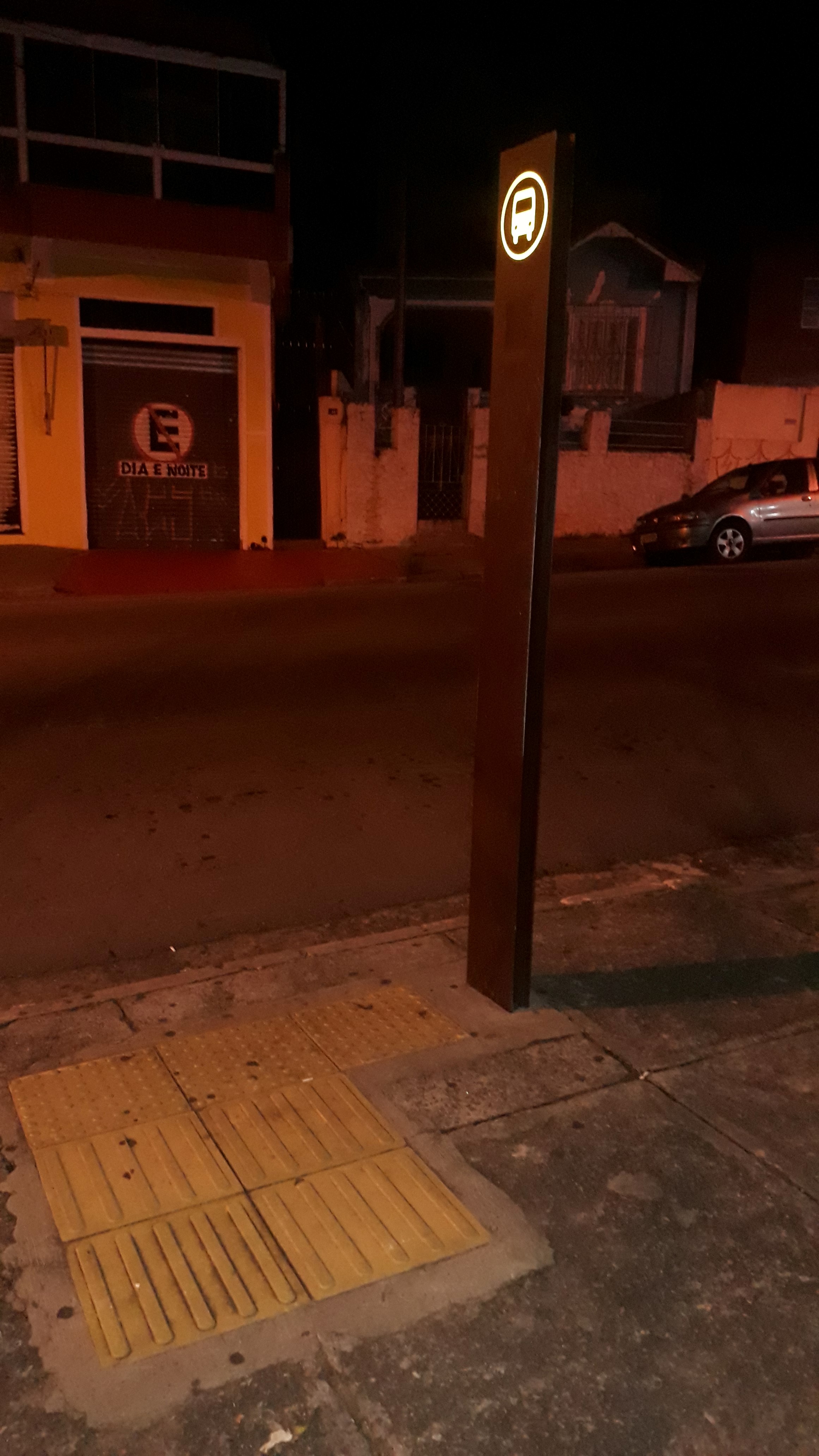 Taken by Anonymous
See R. do Imperador, 1642 stop, Vila Maria, on the map
Public transit to R. do Imperador, 1642 stop in Vila Maria
Looking for directions to R. do Imperador, 1642 in Vila Maria, Brazil?
Download the Moovit App to find the current schedule and step-by-step directions for Bus or Metro routes that pass through R. do Imperador, 1642.
Looking for the nearest stops closest to R. do Imperador, 1642 ? Check out this list of closest stops to your destination: R. do Imperador; R. Simão Borges; R. Cassio de Almeida; Rua Chico Pontes - Vila Guilherme; Santana.
Bus: 119C-10, 172K-10, 172Y-10, 2123-10, 2127-10, 2161-10, 271M-10, 172N-10, N507-11, N204-11, N233-11, 566.Metro: LINHA 1.
We make riding on public transit to R. do Imperador, 1642 easy, which is why over 1.7 billion users, including users in Vila Maria trust Moovit as the best app for public transit.
Use the app to navigate to popular places including to the airport, hospital, stadium, grocery store, mall, coffee shop, school, college, and university.
The first line to this stop is N507-11, at 3:14 AM, and the last line is N507-11 at 2:14 AM.
1669 Rua do Imperador, São Paulo, Brazil
This stop serves SPTrans’s lines
- R. do Imperador, 1561,
- R. Simão Borges, 93,
- R. Cassio de Almeida, 780,
- Rua Chico Pontes - Vila Guilherme, São Paulo
Bus stops near R. do Imperador, 1642 stop
- Santana
Metro station near R. do Imperador, 1642 station
- Av. Clavasio Alves da Silva, 683,
- R. Domingos de Morais, 2800,
- Av. João Carlos da Silva Borges, 111,
- Av. Alcântara Machado, 3198,
- Av. Alexios Jafet,
- Ponto Final Portal Oeste Il,
- Pinheiros,
- Terminal Metrô Santa Cruz,
- Avenida Guapira 2674,
- Primavera-Interlagos,
- Estrada Mogi-Bertioga (Km 75),
- Água Branca,
- Av. Rouxinol, 82 - Jardim Valeria, Guarulhos,
- Marechal Deodoro B/C,
- Rua da Bica, 285 - Jardim Belval, Barueri,
- Parada Bragança Paulista B/C,
- Pista Central,
- Avenida Almirante Delamare,
- Av. Dos Eucaliptos, 740 • Metrô Eucaliptos,
- Pedro Taques C/B
Popular public transit stations in Vila Maria
Get around Vila Maria by public transit!
Traveling around Vila Maria has never been so easy. See step by step directions as you travel to any attraction, street or major public transit station. View bus and train schedules, arrival times, service alerts and detailed routes on a map, so you know exactly how to get to anywhere in Vila Maria.
When traveling to any destination around Vila Maria use Moovit's Live Directions with Get Off Notifications to know exactly where and how far to walk, how long to wait for your line, and how many stops are left. Moovit will alert you when it's time to get off — no need to constantly re-check whether yours is the next stop.
Wondering how to use public transit in Vila Maria or how to pay for public transit in Vila Maria? Moovit public transit app can help you navigate your way with public transit easily, and at minimum cost. It includes public transit fees, ticket prices, and costs. Looking for a map of Vila Maria public transit lines? Moovit public transit app shows all public transit maps in Vila Maria with all Bus, Train, Metro, Light Rail, Ferry, Gondola, Cable Car and Funicular routes and stops on an interactive map.
Sao Paulo Region has 8 transit type(s), including: Bus, Train, Metro, Light Rail, Ferry, Gondola, Cable Car and Funicular, operated by several transit agencies, including SPTrans, CPTM, ViaMobilidade, Aquático SP, SPTRANS, EMTU, ViaQuatro, Auto Ônibus Moratense, GRU Airport (Aeroporto de Guarulhos), Auto Viação Urubupungá (Cajamar), Viação Cometa, Auto Viação Urubupungá (Osasco), Viação Ultra / Rápido Brasil, Auto Viação Urubupungá (Santana de Parnaíba) and Expresso Luxo