How to get to Rafael Serrano by bus?
Click on the bus route to see step by step directions with maps, line arrival times and updated time schedules.
From Mediaset España, Madrid
62 minFrom Comisaría de Policía de Madrid-Latina (y Oficina de Tramitación del DNI y Pasaporte), Madrid
73 minFrom Hotel Marriott Madrid Auditorium, Madrid
44 minFrom Mercamadrid, Madrid
95 minFrom Avenida Poblados s/n, Madrid
73 minFrom Clínica Ruber Internacional, Madrid
64 minFrom Cibeles, Madrid
49 minFrom Cercanías Pozuelo, Pozuelo De Alarcón
60 minFrom Las Rosas, Madrid
46 minFrom Calle Boltaña, Madrid
46 min
How to get to Rafael Serrano by train?
Click on the train route to see step by step directions with maps, line arrival times and updated time schedules.
How to get to Rafael Serrano by metro?
Click on the metro route to see step by step directions with maps, line arrival times and updated time schedules.
From Mediaset España, Madrid
52 minFrom Comisaría de Policía de Madrid-Latina (y Oficina de Tramitación del DNI y Pasaporte), Madrid
50 minFrom Avenida Poblados s/n, Madrid
50 minFrom Clínica Ruber Internacional, Madrid
26 minFrom Cibeles, Madrid
31 minFrom Las Rosas, Madrid
32 minFrom Calle Boltaña, Madrid
36 min
Bus stops near Rafael Serrano in Madrid
Metro stations near Rafael Serrano in Madrid
Bus lines to Rafael Serrano in Madrid
What are the closest stations to Rafael Serrano?
The closest stations to Rafael Serrano are:
- Príncipe De Vergara - Serrano is 187 meters away, 3 min walk.
- Ecuador is 254 meters away, 4 min walk.
- Paseo De La Habana - Cochabamba is 275 meters away, 4 min walk.
- Prosperidad is 292 meters away, 4 min walk.
- Parque De Berlín is 312 meters away, 5 min walk.
- Colombia is 345 meters away, 5 min walk.
- Santiago Bernabéu is 1211 meters away, 16 min walk.
Which bus lines stop near Rafael Serrano?
These bus lines stop near Rafael Serrano: 14, 16, 29, 43, 7.
Which train lines stop near Rafael Serrano?
These train lines stop near Rafael Serrano: C10, C4A, C7.
Which metro line stops near Rafael Serrano?
M-9 (Arganda del Rey)
What’s the nearest metro station to Rafael Serrano in Madrid?
The nearest metro station to Rafael Serrano in Madrid is Prosperidad. It’s a 4 min walk away.
What’s the nearest bus station to Rafael Serrano in Madrid?
The nearest bus station to Rafael Serrano in Madrid is Príncipe De Vergara - Serrano. It’s a 3 min walk away.
What time is the first metro to Rafael Serrano in Madrid?
The M-9 is the first metro that goes to Rafael Serrano in Madrid. It stops nearby at 6:05 AM.
What time is the last metro to Rafael Serrano in Madrid?
The M-10 is the last metro that goes to Rafael Serrano in Madrid. It stops nearby at 2:01 AM.
What time is the first bus to Rafael Serrano in Madrid?
The N1 is the first bus that goes to Rafael Serrano in Madrid. It stops nearby at 3:01 AM.
What time is the last bus to Rafael Serrano in Madrid?
The N1 is the last bus that goes to Rafael Serrano in Madrid. It stops nearby at 3:09 AM.
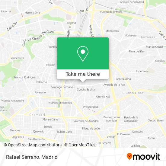
See Rafael Serrano, Madrid, on the map
Public Transit to Rafael Serrano in Madrid
Wondering how to get to Rafael Serrano in Madrid? Moovit helps you find the best way to get to Rafael Serrano with step-by-step directions from the nearest public transit station.
Moovit provides free maps and live directions to help you navigate through your city. View schedules, routes, timetables, and find out how long does it take to get to Rafael Serrano in real time.
Looking for the nearest stop or station to Rafael Serrano? Check out this list of stops closest to your destination: Príncipe De Vergara - Serrano; Ecuador; Paseo De La Habana - Cochabamba; Prosperidad; Parque De Berlín; Colombia; Santiago Bernabéu.
Bus: 14, 16, 29, 43, 7, 51, N1.Train: C10, C4A, C7.Metro: M-9, M-4, M-8, M-10.
Want to see if there’s another route that gets you there at an earlier time? Moovit helps you find alternative routes or times. Get directions from and directions to Rafael Serrano easily from the Moovit App or Website.
We make riding to Rafael Serrano easy, which is why over 1.5 million users, including users in Madrid, trust Moovit as the best app for public transit. You don’t need to download an individual bus app or train app, Moovit is your all-in-one transit app that helps you find the best bus time or train time available.
For information on prices of metro, bus and train, costs and ride fares to Rafael Serrano, please check the Moovit app.
Use the app to navigate to popular places including to the airport, hospital, stadium, grocery store, mall, coffee shop, school, college, and university.
Rafael Serrano Address: Calle de Rodríguez Marín street in Madrid
- Mercadona,
- Calle Rodríguez Marín 71,
- DKV Seguros Corporativo,
- Farmacia Blanca Aparicio Lázaro,
- Farmacia - Calle Serrano 222,
- Farmacia Serrano 207,
- C/ Serrano 205,
- Clínica Elena Jiménez,
- Madrid Emerald Celtic Supporters Club,
- Escuela Septima Ars,
- Teckel,
- AIRPORT TAVERN,
- Wimbledon (Deportes Wimbledon),
- Calle de Talavera, 7,
- Fass,
- Supermercado alemán,
- Calle Talavera 6,
- Calle de Serrano 213,
- Fass / Fassgrill,
- Healthvisors
Places Near Rafael Serrano (Madrid)
- Mercadillo de Majadahonda, Majadahonda,
- Estadio Wanda Metropolitano, Área Metropolitana De Madrid Y Corredor Del Henares,
- Hospital Universitario Ramón y Cajal, Madrid,
- Centro Comercial Oasiz Madrid, Área Metropolitana De Madrid Y Corredor Del Henares,
- Rastro De Madrid, Área Metropolitana De Madrid Y Corredor Del Henares,
- Centro Comercial Islazul, Área Metropolitana De Madrid Y Corredor Del Henares,
- Centro Comercial La Gavia, Área Metropolitana De Madrid Y Corredor Del Henares,
- Hospital Universitario La Paz, Madrid,
- Sala La Riviera, Madrid,
- Centro Comercial La Vaguada, Área Metropolitana De Madrid Y Corredor Del Henares,
- Plenilunio, Área Metropolitana De Madrid Y Corredor Del Henares,
- Nassica, Área Metropolitana De Madrid Y Corredor Del Henares,
- Estacion de Chamartin, Madrid,
- Hospital Clínico Universitario San Carlos, Madrid,
- Calle de López de Hoyos 169, Madrid,
- Mendez Alvaro, Madrid,
- Plaza Mayor, Madrid,
- Palacio De Vistalegre, Área Metropolitana De Madrid Y Corredor Del Henares,
- Tres Aguas, Alcorcón,
- Wizink Center, Madrid
How to get to popular places in Madrid with public transit
Get around Madrid by public transit!
Traveling around Madrid has never been so easy. See step by step directions as you travel to any attraction, street or major public transit station. View bus and train schedules, arrival times, service alerts and detailed routes on a map, so you know exactly how to get to anywhere in Madrid.
When traveling to any destination around Madrid use Moovit's Live Directions with Get Off Notifications to know exactly where and how far to walk, how long to wait for your line, and how many stops are left. Moovit will alert you when it's time to get off — no need to constantly re-check whether yours is the next stop.
Wondering how to use public transit in Madrid or how to pay for public transit in Madrid? Moovit public transit app can help you navigate your way with public transit easily, and at minimum cost. It includes public transit fees, ticket prices, and costs. Looking for a map of Madrid public transit lines? Moovit public transit app shows all public transit maps in Madrid with all Bus, Train, Metro and Light Rail routes and stops on an interactive map.
Madrid has 4 transit type(s), including: Bus, Train, Metro and Light Rail, operated by several transit agencies, including Metro de Madrid, Metro Ligero, Tranvía de Parla, Renfe Cercanías - Servicios de Autobús especiales, Renfe Cercanias, Renfe Cercanías, EMT, Interurbanos, Urbanos de Alcalá de Henares, Urbanos de Alcobendas, Urbanos de Alcorcón, Urbanos de Algete, Urbanos de Aranjuez, Urbanos de Arganda del Rey and Urbanos de Arroyomolinos