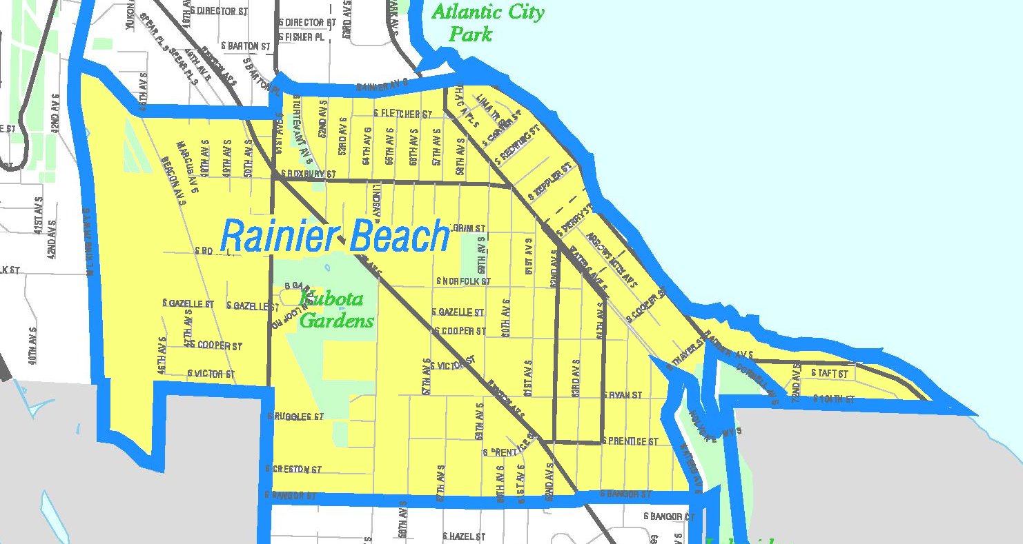
See Rainier Beach, Seattle, on the map
Directions to Rainier Beach (Seattle) with public transportation
The following transit lines have routes that pass near Rainier Beach
 Bus:
Bus: - Light Rail:
How to get to Rainier Beach by bus?
Click on the bus route to see step by step directions with maps, line arrival times and updated time schedules.
Bus stations near Rainier Beach in Seattle
- S Henderson St & Martin L King Jr Way S,2 min walk,
- Martin L King Jr Way S & S Henderson St,3 min walk,
Bus lines to Rainier Beach in Seattle
- 107,Renton Transit Center Rainier Beach Station,
- 9,Broadway Express,
- 106,International District Chinatown Station Rainier Beach Station,
What are the closest stations to Rainier Beach?
The closest stations to Rainier Beach are:
- S Henderson St & Martin L King Jr Way S is 121 yards away, 2 min walk.
- Martin L King Jr Way S & S Henderson St is 188 yards away, 3 min walk.
Which bus lines stop near Rainier Beach?
These bus lines stop near Rainier Beach: 106, 107.
Which light rail line stops near Rainier Beach?
LINK LIGHT RAIL
What’s the nearest bus stop to Rainier Beach in Seattle?
The nearest bus stop to Rainier Beach in Seattle is S Henderson St & Martin L King Jr Way S. It’s a 2 min walk away.
See Rainier Beach, Seattle, on the map
Public Transit to Rainier Beach in Seattle
Wondering how to get to Rainier Beach in Seattle, United States? Moovit helps you find the best way to get to Rainier Beach with step-by-step directions from the nearest public transit station.
Moovit provides free maps and live directions to help you navigate through your city. View schedules, routes, timetables, and find out how long does it take to get to Rainier Beach in real time.
Looking for the nearest stop or station to Rainier Beach? Check out this list of stops closest to your destination: S Henderson St & Martin L King Jr Way S; Martin L King Jr Way S & S Henderson St.
Bus:Light Rail:
Want to see if there’s another route that gets you there at an earlier time? Moovit helps you find alternative routes or times. Get directions from and directions to Rainier Beach easily from the Moovit App or Website.
We make riding to Rainier Beach easy, which is why over 1.5 million users, including users in Seattle, trust Moovit as the best app for public transit. You don’t need to download an individual bus app or train app, Moovit is your all-in-one transit app that helps you find the best bus time or train time available.
For information on prices of bus and light rail, costs and ride fares to Rainier Beach, please check the Moovit app.
Use the app to navigate to popular places including to the airport, hospital, stadium, grocery store, mall, coffee shop, school, college, and university.
Rainier Beach Address: Martin Luther King Junior Way South street in Seattle

Attractions near Rainier Beach
9132 Martin Luther King Jr Way S,Pacific Coatings & Supply,Cornerstone Filipino-American Baptist Church Inc,Asia Appliance Svc,H E Goldberg & Co,Vfw,Rainier Beach LINK Station,9003 S Director St,Eilers Furs,Goldberg H E & Co Furs,Flock Christian Church,H. E. Goldberg & Co.,The Polynesian Deli - The Vegetable Bin,Flock Church,Buddy's,Rainier Beach Stn Rail & MLK Jr Wy S / S Henderson St,Buddys Home Furnishings,S Director St,Drama Boy,Ashford ElectricHow to get to popular attractions in Seattle with public transit
Fred Meyer, Everett,Jack J. Lobdell Apartments, Auburn,City of Puyallup, Puyallup,Phinney Ridge Neighborhood, Seattle,Uw Medical Center, Seattle,North Bend, WA, North Bend,Safeway, Seattle,The Home Depot,I-5,Woodland Park Zoo, Seattle,Stadium Thriftway, Tacoma,Safeway, South Hill,Upper Queen Anne, Seattle,Thurston County Courthouse, Olympia,Olympia-Lacey Amtrak Station (OLW),Salty's on Alki, Seattle,Costco Wholesale, Tacoma,Costco Business Center, Fife,City of SeaTac, Seatac,Tulalip Casino ResortGet around Seattle by public transit!
Traveling around Seattle has never been so easy. See step by step directions as you travel to any attraction, street or major public transit station. View bus and train schedules, arrival times, service alerts and detailed routes on a map, so you know exactly how to get to anywhere in Seattle.
When traveling to any destination around Seattle use Moovit's Live Directions with Get Off Notifications to know exactly where and how far to walk, how long to wait for your line, and how many stops are left. Moovit will alert you when it's time to get off — no need to constantly re-check whether yours is the next stop.
Wondering how to use public transit in Seattle or how to pay for public transit in Seattle? Moovit public transit app can help you navigate your way with public transit easily, and at minimum cost. It includes public transit fees, ticket prices, and costs. Looking for a map of Seattle public transit lines? Moovit public transit app shows all public transit maps in Seattle with all bus or light rail routes and stops on an interactive map.
Seattle has 2 transit type(s), including: bus or light rail, operated by several transit agencies, including Sound Transit, Seattle Streetcar, Sound Transit, Metro Transit, Metro Transit, Sound Transit, Whatcom Transportation Authority, Mason Transit Authority, Snoqualmie Valley Transportation (SVT), Snoqualmie Valley Transportation, Amtrak, Island Transit, Kitsap Transit, Intercity Transit and Everett Transit