Directions to Randolph Extended Day Stars with public transportation
The following transit lines have routes that pass near Randolph Extended Day Stars
 Bus: 12, 238.
- Train: FALL RIVER/NEW BEDFORD.
How to get to Randolph Extended Day Stars by bus?
Click on the bus route to see step by step directions with maps, line arrival times and updated time schedules.
How to get to Randolph Extended Day Stars by train?
Click on the train route to see step by step directions with maps, line arrival times and updated time schedules.
Bus stops near Randolph Extended Day Stars
What are the closest stations to Randolph Extended Day Stars?
The closest stations to Randolph Extended Day Stars are:
- North Main St And Cottage St is 320 yards away, 5 min walk.
- North St @ Mill St is 702 yards away, 9 min walk.
Which bus lines stop near Randolph Extended Day Stars?
These bus lines stop near Randolph Extended Day Stars: 12, 238.
Which train line stops near Randolph Extended Day Stars?
FALL RIVER/NEW BEDFORD (#2011 | New Bedford)
What’s the nearest bus station to Randolph Extended Day Stars?
The nearest bus station to Randolph Extended Day Stars is North Main St And Cottage St. It’s a 5 min walk away.
What time is the first bus to Randolph Extended Day Stars?
The 238 is the first bus that goes to Randolph Extended Day Stars. It stops nearby at 5:08 AM.
What time is the last bus to Randolph Extended Day Stars?
The 12 is the last bus that goes to Randolph Extended Day Stars. It stops nearby at 11:21 PM.
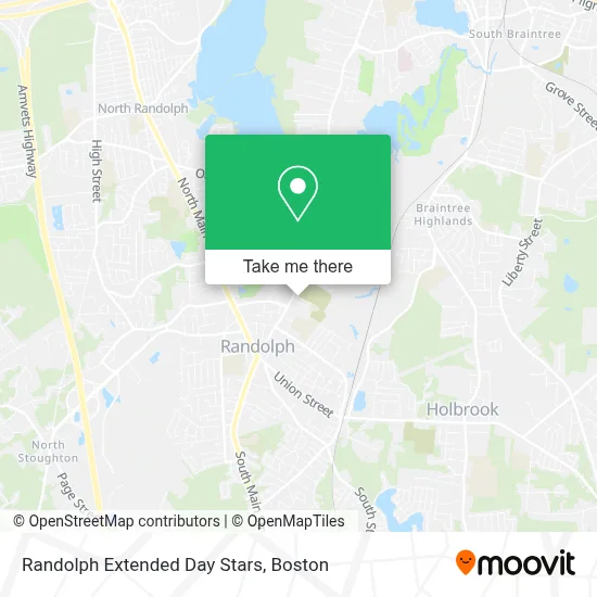
See Randolph Extended Day Stars on the map
Public Transportation to Randolph Extended Day Stars
Wondering how to get to Randolph Extended Day Stars? Moovit helps you find the best way to get to Randolph Extended Day Stars with step-by-step directions from the nearest public transit station.
Moovit provides free maps and live directions to help you navigate through your city. View schedules, routes, timetables, and find out how long does it take to get to Randolph Extended Day Stars in real time.
Looking for the nearest stop or station to Randolph Extended Day Stars? Check out this list of stops closest to your destination: North Main St And Cottage St; North St @ Mill St.
Bus: 12, 238.Train: FALL RIVER/NEW BEDFORD.
Want to see if there’s another route that gets you there at an earlier time? Moovit helps you find alternative routes or times. Get directions from and directions to Randolph Extended Day Stars easily from the Moovit App or Website.
We make riding to Randolph Extended Day Stars easy, which is why over 1.7 million users, including users in Randolph, trust Moovit as the best app for public transit. You don’t need to download an individual bus app or train app, Moovit is your all-in-one transit app that helps you find the best bus time or train time available.
For information on prices of bus, train and subway, costs and ride fares to Randolph Extended Day Stars, please check the Moovit app.
Use the app to navigate to popular places including to the airport, hospital, stadium, grocery store, mall, coffee shop, school, college, and university.
Randolph Extended Day Stars Address: 30 Seton Way street in Randolph
- WW Weight Watchers,
- Randolph DPW,
- Hoey's Pizza,
- J F Kennedy Elementary Jr High,
- Amramp,
- Randolph City Secure Locksmith,
- John F Kennedy Junior High School,
- Destiny Life Center International,
- Soley Leve Restaurant,
- Lumi and Lather,
- Salon Shades & Textures,
- Proline Cleaning Services,
- Perfection Building and Remodeling,
- Home Properties,
- First Class Glazing,
- Premier Auto Collision,
- The Haitian American Business Expo, Inc.,
- ABC Commercial,
- Fjcurran,
- Abington Bank
Places Near Randolph Extended Day Stars
- Cheers, Boston,
- Boston Children's Hospital, Boston,
- Boston Medical Center, Boston,
- Prudential Center, Boston,
- Boston Convention & Exhibition Center, Boston,
- Wilbur Theatre, Boston,
- Quincy Market, Boston,
- Castle Island, Boston,
- Mgm Music Hall, Boston,
- House Of Blues, Boston,
- Isabella Stewart Gardner Museum, Boston,
- Td Garden, Boston,
- Seaport District, Boston,
- North End, Boston,
- Museum Of Science, Boston,
- Massachusetts General Hospital, Boston,
- Leader Bank Pavilion (Leader Bank Pavillion), Boston,
- Boston Common, Boston,
- Wang Theater, Boston,
- Faneuil Hall, Boston
How to get to popular places in Boston with public transit
Get around Randolph by public transit!
Traveling around Randolph has never been so easy. See step by step directions as you travel to any attraction, street or major public transit station. View bus and train schedules, arrival times, service alerts and detailed routes on a map, so you know exactly how to get to anywhere in Randolph.
When traveling to any destination around Randolph use Moovit's Live Directions with Get Off Notifications to know exactly where and how far to walk, how long to wait for your line, and how many stops are left. Moovit will alert you when it's time to get off — no need to constantly re-check whether yours is the next stop.
Wondering how to use public transit in Randolph or how to pay for public transit in Randolph? Moovit public transit app can help you navigate your way with public transit easily, and at minimum cost. It includes public transit fees, ticket prices, and costs. Looking for a map of Randolph public transit lines? Moovit public transit app shows all public transit maps in Randolph with all Bus, Train, Subway and Ferry routes and stops on an interactive map.
Boston has 4 transit type(s), including: Bus, Train, Subway and Ferry, operated by several transit agencies, including MBTA, Southeastern Regional Transit Authority, MetroWest Regional Transit Authority, Rhode Island Public Transit Authority, WRTA, Lowell Regional Transit Authority, Merrimack Valley Transit, Montachusett Regional Transit Authority, Cape Cod Regional Transit Authority, Brockton Area Transit Authority, Martha's Vineyard Transit Authority, the WAVE - Nantucket Regional Transit Authority, GATRA, Cape Ann Transportation Authority and Massport