How to get to Rao Manufacturing by bus?
Click on the bus route to see step by step directions with maps, line arrival times and updated time schedules.
From Highway 10 & Foley Blvd. NW, Coon Rapids
108 minFrom Jordan, Minneapolis
41 minFrom Fish Bowl Poke, Minneapolis
53 minFrom Nicollet Island, Minneapolis
70 minFrom St. Anthony MN, St. Anthony
57 minFrom North Loop, Minneapolis
51 minFrom Barks & Rec, Minneapolis
50 minFrom Pearl Garden, St. Anthony
40 minFrom Metro Transit Fred T. Heywood Office Building and Garage - HQ, Lost & Found, Customer Service, Minneapolis
47 min
Bus stops near Rao Manufacturing in Brooklyn Center
Bus lines to Rao Manufacturing in Brooklyn Center
What are the closest stations to Rao Manufacturing?
The closest stations to Rao Manufacturing are:
- Freeway Blvd & James Circle #1 is 509 yards away, 6 min walk.
- Dupont Ave N & 65th Ave N is 1114 yards away, 14 min walk.
Which bus line stops near Rao Manufacturing?
722 (Shingle Creek / Brklyn Ctr Tc)
What’s the nearest bus station to Rao Manufacturing in Brooklyn Center?
The nearest bus station to Rao Manufacturing in Brooklyn Center is Freeway Blvd & James Circle #1. It’s a 6 min walk away.
What time is the first bus to Rao Manufacturing in Brooklyn Center?
The 722 is the first bus that goes to Rao Manufacturing in Brooklyn Center. It stops nearby at 6:09 AM.
What time is the last bus to Rao Manufacturing in Brooklyn Center?
The 722 is the last bus that goes to Rao Manufacturing in Brooklyn Center. It stops nearby at 10:50 PM.
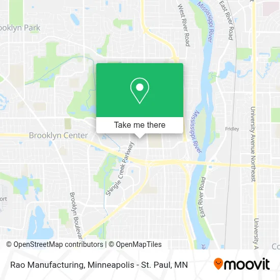
See Rao Manufacturing, Brooklyn Center, on the map
Public Transit to Rao Manufacturing in Brooklyn Center
Wondering how to get to Rao Manufacturing in Brooklyn Center? Moovit helps you find the best way to get to Rao Manufacturing with step-by-step directions from the nearest public transit station.
Moovit provides free maps and live directions to help you navigate through your city. View schedules, routes, timetables, and find out how long does it take to get to Rao Manufacturing in real time.
Looking for the nearest stop or station to Rao Manufacturing? Check out this list of stops closest to your destination: Freeway Blvd & James Circle #1; Dupont Ave N & 65th Ave N.
Bus: 722, 763.
Want to see if there’s another route that gets you there at an earlier time? Moovit helps you find alternative routes or times. Get directions from and directions to Rao Manufacturing easily from the Moovit App or Website.
We make riding to Rao Manufacturing easy, which is why over 1.7 million users, including users in Brooklyn Center, trust Moovit as the best app for public transit. You don’t need to download an individual bus app or train app, Moovit is your all-in-one transit app that helps you find the best bus time or train time available.
For information on prices of bus, costs and ride fares to Rao Manufacturing, please check the Moovit app.
Use the app to navigate to popular places including to the airport, hospital, stadium, grocery store, mall, coffee shop, school, college, and university.
Rao Manufacturing Address: 6530 James Ave N Minneapolis, MN 55430 street in Brooklyn Center
- Mile Four,
- Sewa - Asian Indian Family Wellness,
- Kenyan Community Church,
- Kenyan Community Seventh-Day Adventist Church in Minnesota,
- Brooklyn Center Health Resource Center,
- Brooklyn Center 9 Grade Summer Alc,
- Draack Enterpirses,
- ampm,
- Domino's,
- Garage,
- Endurable Building Products,
- Top-Locksmith and Locks,
- Reviva Gas Engines,
- United States Government,
- Medtronic - Brooklyn Center South,
- U Line Factory Certified Appliance Repair,
- Recreation Fire & Miracle,
- Mecc A Division of Medtronic,
- Medtronic Mecc,
- Super 8 Motel - Brooklyn Center
Places Near Rao Manufacturing (Brooklyn Center)
- Minnesota State Capitol, St. Paul,
- Northrop Auditorium, Minneapolis,
- Target Center, Minneapolis,
- Minneapolis Sculpture Garden, Minneapolis,
- Minnehaha Falls, Minneapolis,
- Target Field, Minneapolis,
- Xcel Energy Center, St. Paul,
- Minneapolis Institute of Art, Minneapolis,
- Abbott Northwestern Piper Building, Minneapolis,
- Treasure Island Resort & Casino, St. Paul,
- St. Paul College, St. Paul,
- Orpheum Theatre (Minneapolis, Minnesota), Minneapolis,
- Surly Brewing Co., Minneapolis,
- Harriet Island Regional Park, St. Paul,
- Bishop Henry Whipple Federal Building,
- Mpls. Convention Center, Minneapolis,
- Mystic lake casino bus, Minneapolis,
- 3m Arena at Mariucci, Minneapolis,
- Huntington Bank Stadium, Minneapolis,
- Grand Casino Hinckley,MN, Minneapolis
How to get to popular places in Minneapolis - St. Paul, MN with public transit
Get around Brooklyn Center by public transit!
Traveling around Brooklyn Center has never been so easy. See step by step directions as you travel to any attraction, street or major public transit station. View bus and train schedules, arrival times, service alerts and detailed routes on a map, so you know exactly how to get to anywhere in Brooklyn Center.
When traveling to any destination around Brooklyn Center use Moovit's Live Directions with Get Off Notifications to know exactly where and how far to walk, how long to wait for your line, and how many stops are left. Moovit will alert you when it's time to get off — no need to constantly re-check whether yours is the next stop.
Wondering how to use public transit in Brooklyn Center or how to pay for public transit in Brooklyn Center? Moovit public transit app can help you navigate your way with public transit easily, and at minimum cost. It includes public transit fees, ticket prices, and costs. Looking for a map of Brooklyn Center public transit lines? Moovit public transit app shows all public transit maps in Brooklyn Center with all Bus, Train and Light Rail routes and stops on an interactive map.
Minneapolis - St. Paul, MN has 3 transit type(s), including: Bus, Train and Light Rail, operated by several transit agencies, including Metro Transit , Metro Transit, MVTA, Plymouth Metrolink, SouthWest Transit, Maple Grove, University of Minnesota, Airport (MAC), Amtrak, Mankato Transit System, SMART, FlixBus-us and Greyhound-us