How to get to Rashid Taher MD by bus?
Click on the bus route to see step by step directions with maps, line arrival times and updated time schedules.
From North Bay Village, Miami Beach
65 minFrom DoubleTree Resort by Hilton Hollywood Beach, Hollywood
72 minFrom Sensual Massage 4 Women, Miami Beach
66 minFrom Haulover Nude Beach, Miami Beach
51 minFrom The Big Easy Casino, Hallandale Beach
77 minFrom Miami Lakes, Hialeah
75 minFrom NW 183rd St / NW 47th Ave, Miami Gardens
54 minFrom Florida Memorial University, Miami
69 minFrom Amtrak, Miami
89 minFrom Hard Rock Stadium, Miami Gardens
88 min
Bus stops near Rashid Taher MD in Miami
Bus lines to Rashid Taher MD in Miami
What are the closest stations to Rashid Taher MD?
The closest stations to Rashid Taher MD are:
- Ne 167 St @ Ne 2 Av is 194 yards away, 3 min walk.
- Ne 168 St & N Miami Av is 459 yards away, 6 min walk.
- Ne 6 Av & Ne 167 St is 1122 yards away, 14 min walk.
Which bus line stops near Rashid Taher MD?
75 (75a - Fiu Biscayne Campus)
What’s the nearest bus station to Rashid Taher MD in Miami?
The nearest bus station to Rashid Taher MD in Miami is Ne 167 St @ Ne 2 Av. It’s a 3 min walk away.
What time is the first bus to Rashid Taher MD in Miami?
The 401 is the first bus that goes to Rashid Taher MD in Miami. It stops nearby at 3:03 AM.
What time is the last bus to Rashid Taher MD in Miami?
The 401 is the last bus that goes to Rashid Taher MD in Miami. It stops nearby at 2:38 AM.
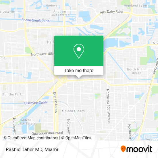
See Rashid Taher MD, Miami, on the map
Public Transit to Rashid Taher MD in Miami
Wondering how to get to Rashid Taher MD in Miami? Moovit helps you find the best way to get to Rashid Taher MD with step-by-step directions from the nearest public transit station.
Moovit provides free maps and live directions to help you navigate through your city. View schedules, routes, timetables, and find out how long does it take to get to Rashid Taher MD in real time.
Looking for the nearest stop or station to Rashid Taher MD? Check out this list of stops closest to your destination: Ne 167 St @ Ne 2 Av; Ne 168 St & N Miami Av; Ne 6 Av & Ne 167 St.
Bus: 75, 401, NMBEACD, 9, 17.
Want to see if there’s another route that gets you there at an earlier time? Moovit helps you find alternative routes or times. Get directions from and directions to Rashid Taher MD easily from the Moovit App or Website.
We make riding to Rashid Taher MD easy, which is why over 1.5 million users, including users in Miami, trust Moovit as the best app for public transit. You don’t need to download an individual bus app or train app, Moovit is your all-in-one transit app that helps you find the best bus time or train time available.
For information on prices of bus and train, costs and ride fares to Rashid Taher MD, please check the Moovit app.
Use the app to navigate to popular places including to the airport, hospital, stadium, grocery store, mall, coffee shop, school, college, and university.
Rashid Taher MD Address: 184 NE 168th St Miami, FL 33162 street in Miami
- Retina Macula Specialists of Miami,
- Harris Levy J Pa,
- Rebecca Anne Lessner, do,
- Five Star Cooling,
- AC Repair North Miami Beach,
- U-Haul,
- American Vision Group,
- Outthebleau Printing,
- smart Tax,
- Out the Bleau Print Shop,
- Albear,
- STARBUCKS,
- 24 7 Locksmith Now,
- Preferred Family Care,
- Cut, Color & Blow Unisex,
- Pauline's Beauty Salon,
- Prima Health Center,
- Le Genie,
- Wholesale Smoke Shop,
- YM Auto
Places Near Rashid Taher MD (Miami)
- Brickell City Centre, Miami,
- Dolphin Mall, Miami,
- Hard Rock Stadium, Miami Gardens,
- Keiser University Flagship Campus, West Palm Beach,
- Aventura Mall, Miami Beach,
- Miami VA Hospital, Miami,
- Sawgrass mall ( FL ), Miami Beach,
- Wynwood, Miami,
- Bayside Marketplace, Miami,
- Miami Freedom Park, Miami,
- Marlins Park, Miami,
- Richard E. Gerstein Justice Building, Miami,
- Aventura Mall, Miami,
- Miami Design District, Miami,
- Port of Miami Cruise Terminal, Miami,
- Sawgrass Mall, Miami,
- Little Havana, Miami,
- Zoo Miami, Miami,
- Miami-Dade County Courthouse, Miami,
- Dolphin Mall Bus, Miami
How to get to popular places in Miami with public transit
Get around Miami by public transit!
Traveling around Miami has never been so easy. See step by step directions as you travel to any attraction, street or major public transit station. View bus and train schedules, arrival times, service alerts and detailed routes on a map, so you know exactly how to get to anywhere in Miami.
When traveling to any destination around Miami use Moovit's Live Directions with Get Off Notifications to know exactly where and how far to walk, how long to wait for your line, and how many stops are left. Moovit will alert you when it's time to get off — no need to constantly re-check whether yours is the next stop.
Wondering how to use public transit in Miami or how to pay for public transit in Miami? Moovit public transit app can help you navigate your way with public transit easily, and at minimum cost. It includes public transit fees, ticket prices, and costs. Looking for a map of Miami public transit lines? Moovit public transit app shows all public transit maps in Miami with all Bus, Train, Light Rail and Ferry routes and stops on an interactive map.
Miami has 4 transit type(s), including: Bus, Train, Light Rail and Ferry, operated by several transit agencies, including Broward County Transit, Miami-Dade Transit, Metrorail, Palm Tran, Tri-Rail, Brightline, MARTY, City of Homestead Trolley, Key West Transit, Treasure Coast Connector, GoLine IRT, Amtrak, Greyhound-us, FlixBus-us and Aventura Express Shuttle Bus