How to get to Rdg Planning & Design by bus?
Click on the bus route to see step by step directions with maps, line arrival times and updated time schedules.
Bus stops near Rdg Planning & Design in Kansas City
Light Rail stations near Rdg Planning & Design in Kansas City
- Power & Light (14th & Main St), 6 min walk,VIEW
Bus lines to Rdg Planning & Design in Kansas City
- 404, Downtown Kansas City,VIEW
- 520, Strang Line Rd Park N Ride,VIEW
- TMAX, Troost Max / To Downtown,VIEW
- 85, 85 - Paseo/To 3rd And Grand,VIEW
- 201, 201 - North Oak / To 27th And Main,VIEW
- 550, 550 - Lee's Summit/ To Lee's Summit,VIEW
- PMAX, Prospect Max / To 75th And Prospect,VIEW
- 9, 9th Street/Truman & Ewing,VIEW
- 11, 11-Northeast-Westside/To Mcc,VIEW
- 12, 12 - 12th Street/31st & Van Brunt,VIEW
- 18, 18 - Indiana/Meyer & Swope,VIEW
- 23, 23 - 23rd Street / To Park Tower,VIEW
- 229, 229-Boardwalk / To East Village,VIEW
What are the closest stations to Rdg Planning & Design?
The closest stations to Rdg Planning & Design are:
- On Broadway at Southwest Blvd Sb is 261 yards away, 4 min walk.
- Power & Light (14th & Main St) is 427 yards away, 6 min walk.
- On Holmes at 18th Nb is 470 yards away, 6 min walk.
- On Grand at 19th Southbound Farside is 729 yards away, 9 min walk.
- On 12th Between Baltimore And Main Eastbound is 760 yards away, 10 min walk.
Which bus lines stop near Rdg Planning & Design?
These bus lines stop near Rdg Planning & Design: 201, 85, TMAX.
Which light rail line stops near Rdg Planning & Design?
STCR (Riverfront)
What’s the nearest light rail station to Rdg Planning & Design in Kansas City?
The nearest light rail station to Rdg Planning & Design in Kansas City is Power & Light (14th & Main St). It’s a 6 min walk away.
What’s the nearest bus station to Rdg Planning & Design in Kansas City?
The nearest bus station to Rdg Planning & Design in Kansas City is On Broadway at Southwest Blvd Sb. It’s a 4 min walk away.
What time is the first light rail to Rdg Planning & Design in Kansas City?
The STCR is the first light rail that goes to Rdg Planning & Design in Kansas City. It stops nearby at 5:24 AM.
What time is the last light rail to Rdg Planning & Design in Kansas City?
The STCR is the last light rail that goes to Rdg Planning & Design in Kansas City. It stops nearby at 12:12 AM.
What time is the first bus to Rdg Planning & Design in Kansas City?
The 201 is the first bus that goes to Rdg Planning & Design in Kansas City. It stops nearby at 4:29 AM.
What time is the last bus to Rdg Planning & Design in Kansas City?
The 12 is the last bus that goes to Rdg Planning & Design in Kansas City. It stops nearby at 2:01 AM.
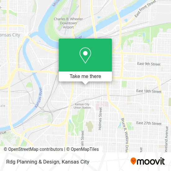
See Rdg Planning & Design, Kansas City, on the map
Public Transit to Rdg Planning & Design in Kansas City
Wondering how to get to Rdg Planning & Design in Kansas City? Moovit helps you find the best way to get to Rdg Planning & Design with step-by-step directions from the nearest public transit station.
Moovit provides free maps and live directions to help you navigate through your city. View schedules, routes, timetables, and find out how long does it take to get to Rdg Planning & Design in real time.
Looking for the nearest stop or station to Rdg Planning & Design? Check out this list of stops closest to your destination: On Broadway at Southwest Blvd Sb; Power & Light (14th & Main St); On Holmes at 18th Nb; On Grand at 19th Southbound Farside; On 12th Between Baltimore And Main Eastbound.
Bus: 201, 85, TMAX, 404, 520, 550, PMAX, 9, 11, 12, 18.Light Rail: STCR.
Want to see if there’s another route that gets you there at an earlier time? Moovit helps you find alternative routes or times. Get directions from and directions to Rdg Planning & Design easily from the Moovit App or Website.
We make riding to Rdg Planning & Design easy, which is why over 1.5 million users, including users in Kansas City, trust Moovit as the best app for public transit. You don’t need to download an individual bus app or train app, Moovit is your all-in-one transit app that helps you find the best bus time or train time available.
For information on prices of bus and light rail, costs and ride fares to Rdg Planning & Design, please check the Moovit app.
Use the app to navigate to popular places including to the airport, hospital, stadium, grocery store, mall, coffee shop, school, college, and university.
Rdg Planning & Design Address: 1712 Main St street in Kansas City
- Tom's Town Distilling ,
- Consulado de México en Kansas City,
- KC Streetcar - Kauffman Center,
- Courtyard by Marriott Kansas City Downtown Convention Center,
- Kauffman Center,
- Hampton Inn & Suites-Hampton Kansas City Crossroads,
- Loews Hotel,
- Sporting Kansas City,
- Rosemann & Associates,
- Green Lady Lounge,
- Loews Kansas City,
- Sportingkc,
- Garney Art 1922 Main,
- E Truman Rd / Main St,
- Post Office at Union Station,
- Hilton President Kansas City,
- Downtown Kansas City,
- Truman Rd S / Oak St,
- Room 3501B - Kansas City Convention Center,
- H&R Block Parking Garage
Places Near Rdg Planning & Design (Kansas City)
- GEHA Field at Arrowhead Stadium,
- Walmart Supercenter,
- Liberty, MO, Liberty,
- St. Luke's Hospital - Medical Plaza I,
- Amazon Fulfilment Center-MKC6, Kansas City,
- Country Club Plaza,
- Kansas City Zoo,
- Stans Glory Hole,
- Kauffman Stadium,
- Ku Medical Center, Kansas City,
- Legends Outlets Kansas City, Kansas City,
- Walmart, Kansas City,
- Arrowhead Stadium,
- Grandview, MO, Grandview,
- Kansas City International Airport (MCI) (Kansas City International Airport),
- Truman Medical Center,
- T-Mobile Center,
- The Glory Hole,
- Harrah's Casino, North Kansas City,
- Worlds of Fun
How to get to popular places in Kansas City with public transit
Get around Kansas City by public transit!
Traveling around Kansas City has never been so easy. See step by step directions as you travel to any attraction, street or major public transit station. View bus and train schedules, arrival times, service alerts and detailed routes on a map, so you know exactly how to get to anywhere in Kansas City.
When traveling to any destination around Kansas City use Moovit's Live Directions with Get Off Notifications to know exactly where and how far to walk, how long to wait for your line, and how many stops are left. Moovit will alert you when it's time to get off — no need to constantly re-check whether yours is the next stop.
Wondering how to use public transit in Kansas City or how to pay for public transit in Kansas City? Moovit public transit app can help you navigate your way with public transit easily, and at minimum cost. It includes public transit fees, ticket prices, and costs. Looking for a map of Kansas City public transit lines? Moovit public transit app shows all public transit maps in Kansas City with all Bus, Train and Light Rail routes and stops on an interactive map.
Kansas City has 3 transit type(s), including: Bus, Train and Light Rail, operated by several transit agencies, including Kansas City Area Transportation Authority, Lawrence Transit, Topeka Metro, RideKC Johnson County, Amtrak, Greyhound-us and FlixBus-us