Directions to Real Boston Fc (Framingham) with public transportation
The following transit lines have routes that pass near Real Boston Fc
 Bus: 03, 04N, 10, MWES, 02.
- Train: FRAMINGHAM/WORCESTER, LAKE SHORE LIMITED.
How to get to Real Boston Fc by bus?
Click on the bus route to see step by step directions with maps, line arrival times and updated time schedules.
From Hopkinton, MA, Hopkinton
75 minFrom Marlborough, MA, Marlborough
118 minFrom Staples Corporate HQ, Framingham
60 minFrom Babson College, Wellesley
68 minFrom Bose Corp, Framingham
54 minFrom Boston Marriott Newton, Newton
99 minFrom Wellesley, MA, Wellesley
71 minFrom I-95 / Route 128 & Route 16 Interchange (Exit 21), Newton
73 minFrom Newton Wellesley Hospital Green Building, Newton
77 min
How to get to Real Boston Fc by train?
Click on the train route to see step by step directions with maps, line arrival times and updated time schedules.
Bus stops near Real Boston Fc in Framingham
Train stations near Real Boston Fc in Framingham
Bus lines to Real Boston Fc in Framingham
What are the closest stations to Real Boston Fc?
The closest stations to Real Boston Fc are:
- Super Stop And Shop is 324 yards away, 4 min walk.
- Walmart is 906 yards away, 11 min walk.
- West Natick is 1856 yards away, 22 min walk.
- Shoppers World Shelter is 1896 yards away, 23 min walk.
- Eagle Rock Apartments is 2435 yards away, 29 min walk.
- Framingham Amtrak is 4246 yards away, 50 min walk.
Which bus lines stop near Real Boston Fc?
These bus lines stop near Real Boston Fc: 03, 04N, 10, MWES.
Which train line stops near Real Boston Fc?
FRAMINGHAM/WORCESTER (#521 | Worcester)
What’s the nearest train station to Real Boston Fc in Framingham?
The nearest train station to Real Boston Fc in Framingham is West Natick. It’s a 22 min walk away.
What’s the nearest bus station to Real Boston Fc in Framingham?
The nearest bus station to Real Boston Fc in Framingham is Super Stop And Shop. It’s a 4 min walk away.
What time is the first train to Real Boston Fc in Framingham?
The FRAMINGHAM/WORCESTER is the first train that goes to Real Boston Fc in Framingham. It stops nearby at 4:54 AM.
What time is the last train to Real Boston Fc in Framingham?
The LAKE SHORE LIMITED is the last train that goes to Real Boston Fc in Framingham. It stops nearby at 8:00 PM.
What time is the first bus to Real Boston Fc in Framingham?
The 09 is the first bus that goes to Real Boston Fc in Framingham. It stops nearby at 6:30 AM.
What time is the last bus to Real Boston Fc in Framingham?
The FLIXBUS 2611 is the last bus that goes to Real Boston Fc in Framingham. It stops nearby at 11:00 PM.
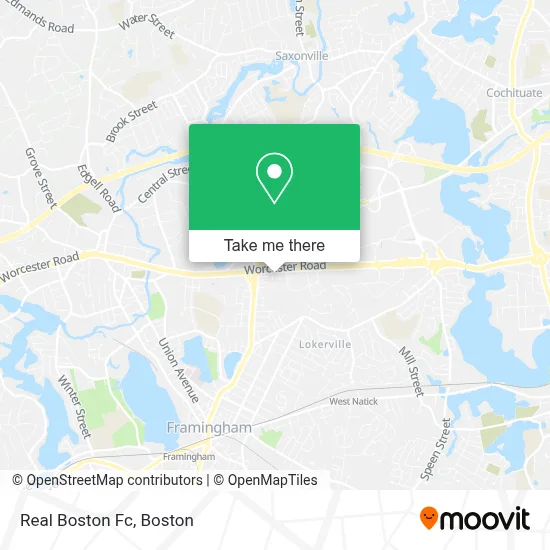
See Real Boston Fc, Framingham, on the map
Public Transit to Real Boston Fc in Framingham
Wondering how to get to Real Boston Fc in Framingham? Moovit helps you find the best way to get to Real Boston Fc with step-by-step directions from the nearest public transit station.
Moovit provides free maps and live directions to help you navigate through your city. View schedules, routes, timetables, and find out how long does it take to get to Real Boston Fc in real time.
Looking for the nearest stop or station to Real Boston Fc? Check out this list of stops closest to your destination: Super Stop And Shop; Walmart; West Natick; Shoppers World Shelter; Eagle Rock Apartments; Framingham Amtrak.
Bus: 03, 04N, 10, MWES, 02, FLIXBUS 2611, 09.Train: FRAMINGHAM/WORCESTER, LAKE SHORE LIMITED.
Want to see if there’s another route that gets you there at an earlier time? Moovit helps you find alternative routes or times. Get directions from and directions to Real Boston Fc easily from the Moovit App or Website.
We make riding to Real Boston Fc easy, which is why over 1.7 million users, including users in Framingham, trust Moovit as the best app for public transit. You don’t need to download an individual bus app or train app, Moovit is your all-in-one transit app that helps you find the best bus time or train time available.
For information on prices of bus and train, costs and ride fares to Real Boston Fc, please check the Moovit app.
Use the app to navigate to popular places including to the airport, hospital, stadium, grocery store, mall, coffee shop, school, college, and university.
Location: Framingham, Boston
- New England Return To,
- Just4kicks Boston, LLC,
- U Dumpling House,
- VIP Tires & Service,
- Reobote Church,
- Accident Lawyers,
- Honeybaked,
- Tech Cyber,
- Dentusa P C,
- Little Critters Training & Care,
- United States Government,
- Army Recruiting Framingham, Ma,
- Cherry Spa,
- Route 9 & Route 126 Interchange,
- Angry Ham's Garage (Beacon Street Bar and Grill),
- 24 Hour 7 Day Emerg A Locksmith A 1,
- Eagle Rock Apartments at Metrowest,
- CRP Three the Meadows,
- Hydronic Heating Maintenance,
- Winter Properties Realty Group
Places Near Real Boston Fc (Framingham)
- Td Garden, Boston,
- Castle Island, Boston,
- Wilbur Theatre, Boston,
- Prudential Center, Boston,
- North End, Boston,
- Faneuil Hall, Boston,
- Massachusetts General Hospital, Boston,
- Seaport District, Boston,
- Boston Medical Center, Boston,
- House Of Blues, Boston,
- Boston Common, Boston,
- Boston Convention & Exhibition Center, Boston,
- Museum Of Science, Boston,
- Cheers, Boston,
- Boston Children's Hospital, Boston,
- Mgm Music Hall, Boston,
- Quincy Market, Boston,
- Isabella Stewart Gardner Museum, Boston,
- Wang Theater, Boston,
- Leader Bank Pavilion (Leader Bank Pavillion), Boston
How to get to popular places in Boston with public transit
Get around Framingham by public transit!
Traveling around Framingham has never been so easy. See step by step directions as you travel to any attraction, street or major public transit station. View bus and train schedules, arrival times, service alerts and detailed routes on a map, so you know exactly how to get to anywhere in Framingham.
When traveling to any destination around Framingham use Moovit's Live Directions with Get Off Notifications to know exactly where and how far to walk, how long to wait for your line, and how many stops are left. Moovit will alert you when it's time to get off — no need to constantly re-check whether yours is the next stop.
Wondering how to use public transit in Framingham or how to pay for public transit in Framingham? Moovit public transit app can help you navigate your way with public transit easily, and at minimum cost. It includes public transit fees, ticket prices, and costs. Looking for a map of Framingham public transit lines? Moovit public transit app shows all public transit maps in Framingham with all Bus, Train, Subway and Ferry routes and stops on an interactive map.
Boston has 4 transit type(s), including: Bus, Train, Subway and Ferry, operated by several transit agencies, including MBTA, Southeastern Regional Transit Authority, MetroWest Regional Transit Authority, Rhode Island Public Transit Authority, WRTA, Lowell Regional Transit Authority, Merrimack Valley Transit, Montachusett Regional Transit Authority, Cape Cod Regional Transit Authority, Brockton Area Transit Authority, Martha's Vineyard Transit Authority, the WAVE - Nantucket Regional Transit Authority, GATRA, Cape Ann Transportation Authority and Massport