Directions to Realtysign Express (Attleboro) with public transportation
The following transit lines have routes that pass near Realtysign Express
 Bus: 10.
- Train: PROVIDENCE/STOUGHTON, FOXBORO EVENT SERVICE.
How to get to Realtysign Express by bus?
Click on the bus route to see step by step directions with maps, line arrival times and updated time schedules.
How to get to Realtysign Express by train?
Click on the train route to see step by step directions with maps, line arrival times and updated time schedules.
Bus stop near Realtysign Express in Attleboro
- North Ave., 11 min walk,VIEW
Train station near Realtysign Express in Attleboro
- Attleboro, 25 min walk,VIEW
Bus lines to Realtysign Express in Attleboro
- 10, Attleboro T.C.,VIEW
What are the closest stations to Realtysign Express?
The closest stations to Realtysign Express are:
- North Ave. is 886 yards away, 11 min walk.
- Attleboro is 2070 yards away, 25 min walk.
Which bus line stops near Realtysign Express?
10 (North Hub→Attleboro T.C.)
Which train line stops near Realtysign Express?
PROVIDENCE/STOUGHTON (#819 | Providence)
What’s the nearest train station to Realtysign Express in Attleboro?
The nearest train station to Realtysign Express in Attleboro is Attleboro. It’s a 25 min walk away.
What’s the nearest bus station to Realtysign Express in Attleboro?
The nearest bus station to Realtysign Express in Attleboro is North Ave.. It’s a 11 min walk away.
What time is the first train to Realtysign Express in Attleboro?
The PROVIDENCE/STOUGHTON is the first train that goes to Realtysign Express in Attleboro. It stops nearby at 4:32 AM.
What time is the last train to Realtysign Express in Attleboro?
The PROVIDENCE/STOUGHTON is the last train that goes to Realtysign Express in Attleboro. It stops nearby at 12:47 AM.
What time is the first bus to Realtysign Express in Attleboro?
The 10 is the first bus that goes to Realtysign Express in Attleboro. It stops nearby at 5:47 AM.
What time is the last bus to Realtysign Express in Attleboro?
The 10 is the last bus that goes to Realtysign Express in Attleboro. It stops nearby at 7:47 PM.
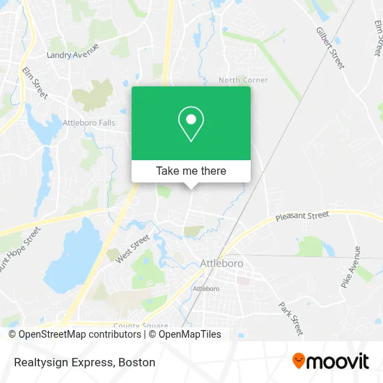
See Realtysign Express, Attleboro, on the map
Public Transit to Realtysign Express in Attleboro
Wondering how to get to Realtysign Express in Attleboro? Moovit helps you find the best way to get to Realtysign Express with step-by-step directions from the nearest public transit station.
Moovit provides free maps and live directions to help you navigate through your city. View schedules, routes, timetables, and find out how long does it take to get to Realtysign Express in real time.
Looking for the nearest stop or station to Realtysign Express? Check out this list of stops closest to your destination: North Ave.; Attleboro.
Bus: 10.Train: PROVIDENCE/STOUGHTON, FOXBORO EVENT SERVICE.
Want to see if there’s another route that gets you there at an earlier time? Moovit helps you find alternative routes or times. Get directions from and directions to Realtysign Express easily from the Moovit App or Website.
We make riding to Realtysign Express easy, which is why over 1.7 million users, including users in Attleboro, trust Moovit as the best app for public transit. You don’t need to download an individual bus app or train app, Moovit is your all-in-one transit app that helps you find the best bus time or train time available.
For information on prices of bus and train, costs and ride fares to Realtysign Express, please check the Moovit app.
Use the app to navigate to popular places including to the airport, hospital, stadium, grocery store, mall, coffee shop, school, college, and university.
Location: Attleboro, Boston
- Ally Behavioral Health,
- Celtic Spa & Laser Services,
- Murray Church Thrift Shop,
- American Star Prime,
- John Boss,
- Sturdy Memorial,
- Waterworth,
- Homme Made Llc,
- Hayward And Walsh Fields,
- Applefire Jewelry,
- Sturdy Health Pediatrics - North Main Street,
- Mondovi Dental Attleboro,
- John Hiatt Real Estate. Sell More Homes,
- W Walsh Co Inc,
- Little Tree Daycare,
- Blackinton Houses And Park,
- Perry Concrete Forming Supply,
- Bishop Feehan Shamrocks Volleyball,
- Blackinton Arts,
- Maynard Construction
Places Near Realtysign Express (Attleboro)
- Boston Medical Center, Boston,
- Leader Bank Pavilion (Leader Bank Pavillion), Boston,
- House Of Blues, Boston,
- Mgm Music Hall, Boston,
- Museum Of Science, Boston,
- Castle Island, Boston,
- Boston Convention & Exhibition Center, Boston,
- Isabella Stewart Gardner Museum, Boston,
- Td Garden, Boston,
- Wang Theater, Boston,
- Massachusetts General Hospital, Boston,
- Quincy Market, Boston,
- Boston Common, Boston,
- North End, Boston,
- Wilbur Theatre, Boston,
- Seaport District, Boston,
- Cheers, Boston,
- Faneuil Hall, Boston,
- Boston Children's Hospital, Boston,
- Prudential Center, Boston
How to get to popular places in Boston with public transit
Get around Attleboro by public transit!
Traveling around Attleboro has never been so easy. See step by step directions as you travel to any attraction, street or major public transit station. View bus and train schedules, arrival times, service alerts and detailed routes on a map, so you know exactly how to get to anywhere in Attleboro.
When traveling to any destination around Attleboro use Moovit's Live Directions with Get Off Notifications to know exactly where and how far to walk, how long to wait for your line, and how many stops are left. Moovit will alert you when it's time to get off — no need to constantly re-check whether yours is the next stop.
Wondering how to use public transit in Attleboro or how to pay for public transit in Attleboro? Moovit public transit app can help you navigate your way with public transit easily, and at minimum cost. It includes public transit fees, ticket prices, and costs. Looking for a map of Attleboro public transit lines? Moovit public transit app shows all public transit maps in Attleboro with all Bus, Train, Subway and Ferry routes and stops on an interactive map.
Boston has 4 transit type(s), including: Bus, Train, Subway and Ferry, operated by several transit agencies, including MBTA, Southeastern Regional Transit Authority, MetroWest Regional Transit Authority, Rhode Island Public Transit Authority, WRTA, Lowell Regional Transit Authority, Merrimack Valley Transit, Montachusett Regional Transit Authority, Cape Cod Regional Transit Authority, Brockton Area Transit Authority, Martha's Vineyard Transit Authority, the WAVE - Nantucket Regional Transit Authority, GATRA, Cape Ann Transportation Authority and Massport