Directions to Redemtion (Quincy) with public transportation
The following transit lines have routes that pass near Redemtion
 Bus: 216.
How to get to Redemtion by bus?
Click on the bus route to see step by step directions with maps, line arrival times and updated time schedules.
From Marina Bay, Quincy
68 minFrom Dorchester District Court, Boston
71 minFrom Doubletree-Boston Bayside, Boston
99 minFrom Children's Hospital, Boston
98 minFrom crown Colony Shuttle, Quincy
59 minFrom Qea, Quincy
35 minFrom Codman Square, Boston
72 minFrom Best Western Adams Inn Quincy - Boston, Quincy
66 minFrom Wollaston Beach, Quincy
68 min
Bus stop near Redemtion in Quincy
- Palmer St Opp Roach St, 1 min walk,VIEW
Bus lines to Redemtion in Quincy
- 216, Houghs Neck Via Mcgrath & Germantown,VIEW
What are the closest stations to Redemtion?
The closest stations to Redemtion are:
- Palmer St Opp Roach St is 13 yards away, 1 min walk.
Which bus line stops near Redemtion?
216 (Houghs Neck Via Germantown)
What’s the nearest bus station to Redemtion in Quincy?
The nearest bus station to Redemtion in Quincy is Palmer St Opp Roach St. It’s a 1 min walk away.
What time is the first bus to Redemtion in Quincy?
The 216 is the first bus that goes to Redemtion in Quincy. It stops nearby at 4:46 AM.
What time is the last bus to Redemtion in Quincy?
The 216 is the last bus that goes to Redemtion in Quincy. It stops nearby at 1:09 AM.
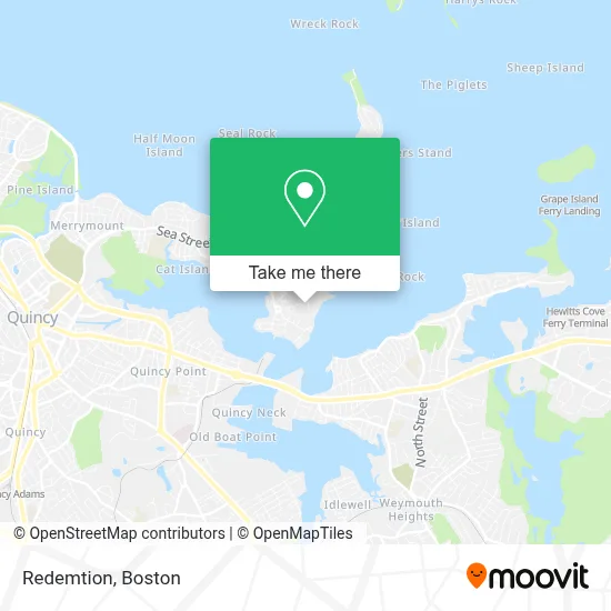
See Redemtion, Quincy, on the map
Public Transit to Redemtion in Quincy
Wondering how to get to Redemtion in Quincy? Moovit helps you find the best way to get to Redemtion with step-by-step directions from the nearest public transit station.
Moovit provides free maps and live directions to help you navigate through your city. View schedules, routes, timetables, and find out how long does it take to get to Redemtion in real time.
Looking for the nearest stop or station to Redemtion? Check out this list of stops closest to your destination: Palmer St Opp Roach St.
Bus: 216.
Want to see if there’s another route that gets you there at an earlier time? Moovit helps you find alternative routes or times. Get directions from and directions to Redemtion easily from the Moovit App or Website.
We make riding to Redemtion easy, which is why over 1.7 million users, including users in Quincy, trust Moovit as the best app for public transit. You don’t need to download an individual bus app or train app, Moovit is your all-in-one transit app that helps you find the best bus time or train time available.
For information on prices of bus, subway and train, costs and ride fares to Redemtion, please check the Moovit app.
Use the app to navigate to popular places including to the airport, hospital, stadium, grocery store, mall, coffee shop, school, college, and university.
Redemtion Address: 78 Quarterdeck Rd street in Quincy
- Twin Rivers Technologies,
- Wessagussett Woodland,
- Quincy Public Market,
- Vogt Realty Group,
- King's Cove Fishing and Fowling Club,
- Express Heating & Cooling Repair,
- American Fuel Oil,
- Quincy Fore River Shipyard,
- Cigar City Weymouth Mass,
- J&J Cleaning Services,
- Amonte's Watch & Coin,
- A L Prime Consultant,
- Rock Island Holdings,
- Igreja Quadrangular de Weymouth,
- Assembleia de Deus Min. Tempo de Restauração,
- ATM,
- Auto Palace,
- Coinsource,
- Wash N Dry,
- USS Salem (U.S.S. Salem CA-139)
Places Near Redemtion (Quincy)
- Boston Convention & Exhibition Center, Boston,
- Wilbur Theatre, Boston,
- House Of Blues, Boston,
- North End, Boston,
- Isabella Stewart Gardner Museum, Boston,
- Mgm Music Hall, Boston,
- Boston Medical Center, Boston,
- Castle Island, Boston,
- Td Garden, Boston,
- Quincy Market, Boston,
- Leader Bank Pavilion (Leader Bank Pavillion), Boston,
- Museum Of Science, Boston,
- Prudential Center, Boston,
- Boston Children's Hospital, Boston,
- Faneuil Hall, Boston,
- Massachusetts General Hospital, Boston,
- Wang Theater, Boston,
- Seaport District, Boston,
- Boston Common, Boston,
- Cheers, Boston
How to get to popular places in Boston with public transit
Get around Quincy by public transit!
Traveling around Quincy has never been so easy. See step by step directions as you travel to any attraction, street or major public transit station. View bus and train schedules, arrival times, service alerts and detailed routes on a map, so you know exactly how to get to anywhere in Quincy.
When traveling to any destination around Quincy use Moovit's Live Directions with Get Off Notifications to know exactly where and how far to walk, how long to wait for your line, and how many stops are left. Moovit will alert you when it's time to get off — no need to constantly re-check whether yours is the next stop.
Wondering how to use public transit in Quincy or how to pay for public transit in Quincy? Moovit public transit app can help you navigate your way with public transit easily, and at minimum cost. It includes public transit fees, ticket prices, and costs. Looking for a map of Quincy public transit lines? Moovit public transit app shows all public transit maps in Quincy with all Bus, Train, Subway and Ferry routes and stops on an interactive map.
Boston has 4 transit type(s), including: Bus, Train, Subway and Ferry, operated by several transit agencies, including MBTA, Southeastern Regional Transit Authority, MetroWest Regional Transit Authority, Rhode Island Public Transit Authority, WRTA, Lowell Regional Transit Authority, Merrimack Valley Transit, Montachusett Regional Transit Authority, Cape Cod Regional Transit Authority, Brockton Area Transit Authority, Martha's Vineyard Transit Authority, the WAVE - Nantucket Regional Transit Authority, GATRA, Cape Ann Transportation Authority and Massport