Directions to Reed Tech (Edina) with public transportation
The following transit lines have routes that pass near Reed Tech
 Bus: 540.
How to get to Reed Tech by bus?
Click on the bus route to see step by step directions with maps, line arrival times and updated time schedules.
Bus stop near Reed Tech in Edina
- Metro Blvd & 74th St W, 2 min walk,VIEW
Bus lines to Reed Tech in Edina
- 540, 76-77st / Mall Of America,VIEW
What are the closest stations to Reed Tech?
The closest stations to Reed Tech are:
- Metro Blvd & 74th St W is 100 yards away, 2 min walk.
Which bus line stops near Reed Tech?
540 (76-77st / Norman Ctr)
What’s the nearest bus station to Reed Tech in Edina?
The nearest bus station to Reed Tech in Edina is Metro Blvd & 74th St W. It’s a 2 min walk away.
What time is the first bus to Reed Tech in Edina?
The 540 is the first bus that goes to Reed Tech in Edina. It stops nearby at 6:11 AM.
What time is the last bus to Reed Tech in Edina?
The 540 is the last bus that goes to Reed Tech in Edina. It stops nearby at 10:51 PM.
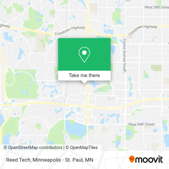
See Reed Tech, Edina, on the map
Public Transit to Reed Tech in Edina
Wondering how to get to Reed Tech in Edina? Moovit helps you find the best way to get to Reed Tech with step-by-step directions from the nearest public transit station.
Moovit provides free maps and live directions to help you navigate through your city. View schedules, routes, timetables, and find out how long does it take to get to Reed Tech in real time.
Looking for the nearest stop or station to Reed Tech? Check out this list of stops closest to your destination: Metro Blvd & 74th St W.
Bus: 540.
Want to see if there’s another route that gets you there at an earlier time? Moovit helps you find alternative routes or times. Get directions from and directions to Reed Tech easily from the Moovit App or Website.
We make riding to Reed Tech easy, which is why over 1.7 million users, including users in Edina, trust Moovit as the best app for public transit. You don’t need to download an individual bus app or train app, Moovit is your all-in-one transit app that helps you find the best bus time or train time available.
For information on prices of bus and light rail, costs and ride fares to Reed Tech, please check the Moovit app.
Use the app to navigate to popular places including to the airport, hospital, stadium, grocery store, mall, coffee shop, school, college, and university.
Reed Tech Address: 7401 Metro Blvd Minneapolis, MN 55439 street in Edina
- Tandem Strength & Balance,
- Sarah E Groskreutz Attorney,
- Christopher Yoshimura-Rank Attorney,
- O'Meara, Leer, Wagner & Kohl, PA,
- Radiation Oncology Minneapolis Pa,
- ADT A D Security & Alarm,
- RP Capital,
- Joann Hannon Psyd,
- World Financial Group,
- Wexford Harbour Insurance,
- Awaken Life Chiropractic,
- WSB Edina - Cabrelle,
- Walker Group - Crosscountry Mortgage,
- Vieau Assoc,
- Institutional Portfolio Services,
- Ror Tax Professionals,
- Lacher Family Therapy,
- Katherine Schroeder,
- Estoria Lakeville,
- Camp Digital
Places Near Reed Tech (Edina)
- Orpheum Theatre (Minneapolis, Minnesota), Minneapolis,
- Minnesota State Capitol, St. Paul,
- Treasure Island Resort & Casino, St. Paul,
- Mystic lake casino bus, Minneapolis,
- Harriet Island Regional Park, St. Paul,
- Huntington Bank Stadium, Minneapolis,
- Minnehaha Falls, Minneapolis,
- Minneapolis Sculpture Garden, Minneapolis,
- Xcel Energy Center, St. Paul,
- 3m Arena at Mariucci, Minneapolis,
- Grand Casino Hinckley,MN, Minneapolis,
- Mpls. Convention Center, Minneapolis,
- Target Field, Minneapolis,
- Bishop Henry Whipple Federal Building,
- Northrop Auditorium, Minneapolis,
- Surly Brewing Co., Minneapolis,
- Target Center, Minneapolis,
- St. Paul College, St. Paul,
- Minneapolis Institute of Art, Minneapolis,
- Abbott Northwestern Piper Building, Minneapolis
How to get to popular places in Minneapolis - St. Paul, MN with public transit
Get around Edina by public transit!
Traveling around Edina has never been so easy. See step by step directions as you travel to any attraction, street or major public transit station. View bus and train schedules, arrival times, service alerts and detailed routes on a map, so you know exactly how to get to anywhere in Edina.
When traveling to any destination around Edina use Moovit's Live Directions with Get Off Notifications to know exactly where and how far to walk, how long to wait for your line, and how many stops are left. Moovit will alert you when it's time to get off — no need to constantly re-check whether yours is the next stop.
Wondering how to use public transit in Edina or how to pay for public transit in Edina? Moovit public transit app can help you navigate your way with public transit easily, and at minimum cost. It includes public transit fees, ticket prices, and costs. Looking for a map of Edina public transit lines? Moovit public transit app shows all public transit maps in Edina with all Bus, Train and Light Rail routes and stops on an interactive map.
Minneapolis - St. Paul, MN has 3 transit type(s), including: Bus, Train and Light Rail, operated by several transit agencies, including Metro Transit , Metro Transit, MVTA, Plymouth Metrolink, SouthWest Transit, Maple Grove, University of Minnesota, Airport (MAC), Amtrak, Mankato Transit System, SMART, FlixBus-us and Greyhound-us