Train station near Rekindled Wellness in Independence
- Independence Amtrak Station, 29 min walk,VIEW
- Truman High School Track,
- Truman High School,
- 470 and Lees Summit,
- TSA Kansas City Str 24,
- Traditions Health Home Health,
- Elite Touch Massage,
- Greenlight Dispensary,
- Quik Trip 155r,
- 39th And Noland Road,
- FedEx,
- 23rd And 291,
- Noland Road and I-70,
- Noland Rd Train Tracks,
- CHRYSLER Stadium,
- Jackson County Courthouse,
- Independence Square,
- Historic Truman Courthouse,
- Gateway Sporting Goods (Gateway Letter Jackets),
- Santa Cali Gon Days Republican Booth,
- LDS Independence Stake Center
Places Near Rekindled Wellness (Independence)
- Liberty, MO, Liberty,
- Walmart Supercenter,
- St. Luke's Hospital - Medical Plaza I,
- Kansas City International Airport (MCI) (Kansas City International Airport),
- The Glory Hole,
- Grandview, MO, Grandview,
- Harrah's Casino, North Kansas City,
- Country Club Plaza,
- Legends Outlets Kansas City, Kansas City,
- GEHA Field at Arrowhead Stadium,
- Arrowhead Stadium,
- Truman Medical Center,
- Ku Medical Center, Kansas City,
- T-Mobile Center,
- Kansas City Zoo,
- Walmart, Kansas City,
- Amazon Fulfilment Center-MKC6, Kansas City,
- Worlds of Fun,
- Stans Glory Hole,
- Kauffman Stadium
How to get to popular places in Kansas City with public transit
What are the closest stations to Rekindled Wellness?
The closest stations to Rekindled Wellness are:
- Independence Amtrak Station is 2467 yards away, 29 min walk.
What’s the nearest train station to Rekindled Wellness in Independence?
The nearest train station to Rekindled Wellness in Independence is Independence Amtrak Station. It’s a 29 min walk away.
What time is the first train to Rekindled Wellness in Independence?
The LINCOLN SERVICE MISSOURI RIVER RUNNER is the first train that goes to Rekindled Wellness in Independence. It stops nearby at 8:59 AM.
What time is the last train to Rekindled Wellness in Independence?
The LINCOLN SERVICE MISSOURI RIVER RUNNER is the last train that goes to Rekindled Wellness in Independence. It stops nearby at 8:11 PM.
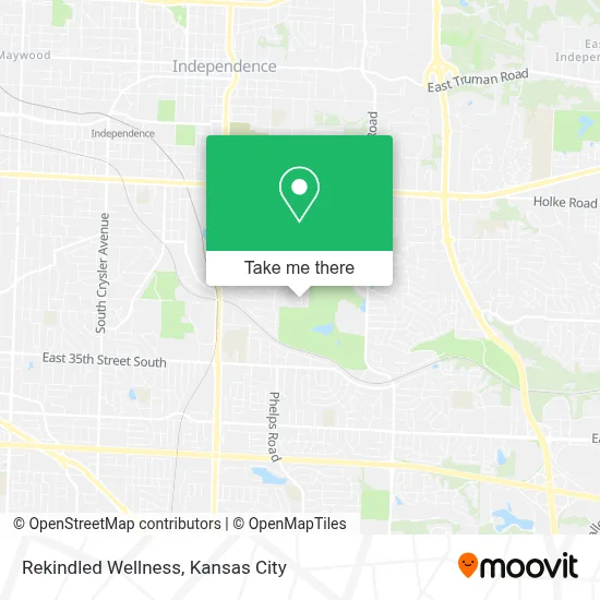
See Rekindled Wellness, Independence, on the map
Public Transit to Rekindled Wellness in Independence
Wondering how to get to Rekindled Wellness in Independence? Moovit helps you find the best way to get to Rekindled Wellness with step-by-step directions from the nearest public transit station.
Moovit provides free maps and live directions to help you navigate through your city. View schedules, routes, timetables, and find out how long does it take to get to Rekindled Wellness in real time.
Looking for the nearest stop or station to Rekindled Wellness? Check out this list of stops closest to your destination: Independence Amtrak Station.
Want to see if there’s another route that gets you there at an earlier time? Moovit helps you find alternative routes or times. Get directions from and directions to Rekindled Wellness easily from the Moovit App or Website.
We make riding to Rekindled Wellness easy, which is why over 1.5 million users, including users in Independence, trust Moovit as the best app for public transit. You don’t need to download an individual bus app or train app, Moovit is your all-in-one transit app that helps you find the best bus time or train time available.
Use the app to navigate to popular places including to the airport, hospital, stadium, grocery store, mall, coffee shop, school, college, and university.
Rekindled Wellness Address: 1928 S Drumm Ave street in Independence
Get around Independence by public transit!
Traveling around Independence has never been so easy. See step by step directions as you travel to any attraction, street or major public transit station. View bus and train schedules, arrival times, service alerts and detailed routes on a map, so you know exactly how to get to anywhere in Independence.
When traveling to any destination around Independence use Moovit's Live Directions with Get Off Notifications to know exactly where and how far to walk, how long to wait for your line, and how many stops are left. Moovit will alert you when it's time to get off — no need to constantly re-check whether yours is the next stop.
Wondering how to use public transit in Independence or how to pay for public transit in Independence? Moovit public transit app can help you navigate your way with public transit easily, and at minimum cost. It includes public transit fees, ticket prices, and costs. Looking for a map of Independence public transit lines? Moovit public transit app shows all public transit maps in Independence with all Bus, Train and Light Rail routes and stops on an interactive map.
Kansas City has 3 transit type(s), including: Bus, Train and Light Rail, operated by several transit agencies, including Kansas City Area Transportation Authority, Lawrence Transit, Topeka Metro, RideKC Johnson County, Amtrak, Greyhound-us and FlixBus-us