Directions to Rfm Machine (Boston) with public transportation
The following transit lines have routes that pass near Rfm Machine
 Bus: 7.
How to get to Rfm Machine by bus?
Click on the bus route to see step by step directions with maps, line arrival times and updated time schedules.
Bus stop near Rfm Machine in Boston
- Greater Lowell Technical School, 17 min walk,VIEW
Bus lines to Rfm Machine in Boston
- 7, Kennedy Center,VIEW
What are the closest stations to Rfm Machine?
The closest stations to Rfm Machine are:
- Greater Lowell Technical School is 1424 yards away, 17 min walk.
Which bus line stops near Rfm Machine?
7 (Lowell Voke)
What time is the first bus to Rfm Machine in Boston?
The 7 is the first bus that goes to Rfm Machine in Boston. It stops nearby at 6:19 AM.
What time is the last bus to Rfm Machine in Boston?
The 7 is the last bus that goes to Rfm Machine in Boston. It stops nearby at 7:43 PM.
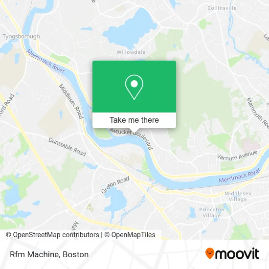
See Rfm Machine, Boston, on the map
Public Transit to Rfm Machine in Boston
Wondering how to get to Rfm Machine in Boston? Moovit helps you find the best way to get to Rfm Machine with step-by-step directions from the nearest public transit station.
Moovit provides free maps and live directions to help you navigate through your city. View schedules, routes, timetables, and find out how long does it take to get to Rfm Machine in real time.
Looking for the nearest stop or station to Rfm Machine? Check out this list of stops closest to your destination: Greater Lowell Technical School.
Bus: 7.
Want to see if there’s another route that gets you there at an earlier time? Moovit helps you find alternative routes or times. Get directions from and directions to Rfm Machine easily from the Moovit App or Website.
We make riding to Rfm Machine easy, which is why over 1.7 million users, including users in Boston, trust Moovit as the best app for public transit. You don’t need to download an individual bus app or train app, Moovit is your all-in-one transit app that helps you find the best bus time or train time available.
For information on prices of bus, costs and ride fares to Rfm Machine, please check the Moovit app.
Use the app to navigate to popular places including to the airport, hospital, stadium, grocery store, mall, coffee shop, school, college, and university.
Rfm Machine Address: 265 Pawtucket Blvd street in Boston
- Sisters of Charity at Ottawa,
- Triple Crown Home Solutions,
- Mercier Electric and Communications,
- Jim Nassios Masonry,
- Greater Lowell Technical High School,
- Rejuve,
- Northeast Crushr,
- Williamsburg Condominium Corporation,
- Sam S Trulck Repair Service,
- Speed Motors,
- A-Z Cleaning,
- Lowell-Dracut-Tyngsboro State Forest,
- A E Auto Center,
- Neighborhood Video,
- Lúpa Comunicações & Marketing Digital,
- Push Muscular Restoration,
- House of Browz,
- TJ's Toddlers Family Daycare,
- Accu Plus Tax Man,
- Snapology of Fitchburg
Places Near Rfm Machine (Boston)
- Castle Island, Boston,
- House Of Blues, Boston,
- Leader Bank Pavilion (Leader Bank Pavillion), Boston,
- Mgm Music Hall, Boston,
- Seaport District, Boston,
- Boston Common, Boston,
- Museum Of Science, Boston,
- Prudential Center, Boston,
- North End, Boston,
- Quincy Market, Boston,
- Isabella Stewart Gardner Museum, Boston,
- Faneuil Hall, Boston,
- Boston Medical Center, Boston,
- Wilbur Theatre, Boston,
- Boston Convention & Exhibition Center, Boston,
- Massachusetts General Hospital, Boston,
- Cheers, Boston,
- Wang Theater, Boston,
- Boston Children's Hospital, Boston,
- Td Garden, Boston
How to get to popular places in Boston with public transit
Get around Boston by public transit!
Traveling around Boston has never been so easy. See step by step directions as you travel to any attraction, street or major public transit station. View bus and train schedules, arrival times, service alerts and detailed routes on a map, so you know exactly how to get to anywhere in Boston.
When traveling to any destination around Boston use Moovit's Live Directions with Get Off Notifications to know exactly where and how far to walk, how long to wait for your line, and how many stops are left. Moovit will alert you when it's time to get off — no need to constantly re-check whether yours is the next stop.
Wondering how to use public transit in Boston or how to pay for public transit in Boston? Moovit public transit app can help you navigate your way with public transit easily, and at minimum cost. It includes public transit fees, ticket prices, and costs. Looking for a map of Boston public transit lines? Moovit public transit app shows all public transit maps in Boston with all Bus, Train, Subway and Ferry routes and stops on an interactive map.
Boston has 4 transit type(s), including: Bus, Train, Subway and Ferry, operated by several transit agencies, including MBTA, Southeastern Regional Transit Authority, MetroWest Regional Transit Authority, Rhode Island Public Transit Authority, WRTA, Lowell Regional Transit Authority, Merrimack Valley Transit, Montachusett Regional Transit Authority, Cape Cod Regional Transit Authority, Brockton Area Transit Authority, Martha's Vineyard Transit Authority, the WAVE - Nantucket Regional Transit Authority, GATRA, Cape Ann Transportation Authority and Massport