Directions to Rgr Property Management (Boston) with public transportation
The following transit lines have routes that pass near Rgr Property Management
 Bus: HYANNIS - SOUTH SHORE TO LOGAN AIRPORT, RF.
- Train: KINGSTON.
How to get to Rgr Property Management by bus?
Click on the bus route to see step by step directions with maps, line arrival times and updated time schedules.
Train station near Rgr Property Management in Boston
- South Weymouth, 53 min walk,VIEW
What are the closest stations to Rgr Property Management?
The closest stations to Rgr Property Management are:
- South Weymouth is 4540 yards away, 53 min walk.
Which bus lines stop near Rgr Property Management?
These bus lines stop near Rgr Property Management: HYANNIS - SOUTH SHORE TO LOGAN AIRPORT, RF.
What time is the first train to Rgr Property Management in Boston?
The KINGSTON is the first train that goes to Rgr Property Management in Boston. It stops nearby at 5:27 AM.
What time is the last train to Rgr Property Management in Boston?
The KINGSTON is the last train that goes to Rgr Property Management in Boston. It stops nearby at 12:32 AM.
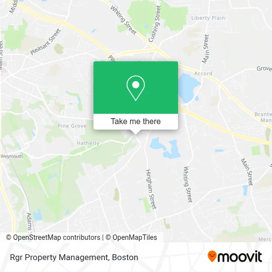
See Rgr Property Management, Boston, on the map
Public Transit to Rgr Property Management in Boston
Wondering how to get to Rgr Property Management in Boston? Moovit helps you find the best way to get to Rgr Property Management with step-by-step directions from the nearest public transit station.
Moovit provides free maps and live directions to help you navigate through your city. View schedules, routes, timetables, and find out how long does it take to get to Rgr Property Management in real time.
Looking for the nearest stop or station to Rgr Property Management? Check out this list of stops closest to your destination: South Weymouth.
Bus: HYANNIS - SOUTH SHORE TO LOGAN AIRPORT, RF.Train: KINGSTON.
Want to see if there’s another route that gets you there at an earlier time? Moovit helps you find alternative routes or times. Get directions from and directions to Rgr Property Management easily from the Moovit App or Website.
We make riding to Rgr Property Management easy, which is why over 1.7 million users, including users in Boston, trust Moovit as the best app for public transit. You don’t need to download an individual bus app or train app, Moovit is your all-in-one transit app that helps you find the best bus time or train time available.
For information on prices of bus, subway and train, costs and ride fares to Rgr Property Management, please check the Moovit app.
Use the app to navigate to popular places including to the airport, hospital, stadium, grocery store, mall, coffee shop, school, college, and university.
Rgr Property Management Address: 139 Weymouth St street in Boston
- Crowe Electric,
- Pipeline24,
- Mattress by Appointment,
- 7-Eleven - Closed - Closed,
- Goldfish Swim School,
- J. Craig Photography,
- Holbrook Associated,
- Apparel 2000 Embroidery, Now Known As Logovinci,
- Core Physical Therapy And Performance,
- T.H. Hartley & Son,
- Kenzie Finn's Project31 Dance Studio,
- The Catered Affair,
- Ann Brennan Law Offices,
- Sharp Corporation,
- Roi Business Brokers,
- Milestones Realty,
- Lpl Financial,
- Lpf Consulting Group,
- Clear Mind Counseling Llc,
- Oliveira Landscaping Construction And Tree Services
Places Near Rgr Property Management (Boston)
- North End, Boston,
- Td Garden, Boston,
- House Of Blues, Boston,
- Castle Island, Boston,
- Museum Of Science, Boston,
- Prudential Center, Boston,
- Wang Theater, Boston,
- Quincy Market, Boston,
- Faneuil Hall, Boston,
- Isabella Stewart Gardner Museum, Boston,
- Mgm Music Hall, Boston,
- Boston Common, Boston,
- Boston Medical Center, Boston,
- Cheers, Boston,
- Wilbur Theatre, Boston,
- Leader Bank Pavilion (Leader Bank Pavillion), Boston,
- Massachusetts General Hospital, Boston,
- Boston Convention & Exhibition Center, Boston,
- Seaport District, Boston,
- Boston Children's Hospital, Boston
How to get to popular places in Boston with public transit
Get around Boston by public transit!
Traveling around Boston has never been so easy. See step by step directions as you travel to any attraction, street or major public transit station. View bus and train schedules, arrival times, service alerts and detailed routes on a map, so you know exactly how to get to anywhere in Boston.
When traveling to any destination around Boston use Moovit's Live Directions with Get Off Notifications to know exactly where and how far to walk, how long to wait for your line, and how many stops are left. Moovit will alert you when it's time to get off — no need to constantly re-check whether yours is the next stop.
Wondering how to use public transit in Boston or how to pay for public transit in Boston? Moovit public transit app can help you navigate your way with public transit easily, and at minimum cost. It includes public transit fees, ticket prices, and costs. Looking for a map of Boston public transit lines? Moovit public transit app shows all public transit maps in Boston with all Bus, Train, Subway and Ferry routes and stops on an interactive map.
Boston has 4 transit type(s), including: Bus, Train, Subway and Ferry, operated by several transit agencies, including MBTA, Southeastern Regional Transit Authority, MetroWest Regional Transit Authority, Rhode Island Public Transit Authority, WRTA, Lowell Regional Transit Authority, Merrimack Valley Transit, Montachusett Regional Transit Authority, Cape Cod Regional Transit Authority, Brockton Area Transit Authority, Martha's Vineyard Transit Authority, the WAVE - Nantucket Regional Transit Authority, GATRA, Cape Ann Transportation Authority and Massport