Directions to Richard Millman, Md (Boston) with public transportation
The following transit lines have routes that pass near Richard Millman, Md
 Bus: 16.
How to get to Richard Millman, Md by bus?
Click on the bus route to see step by step directions with maps, line arrival times and updated time schedules.
Bus stop near Richard Millman, Md in Boston
- Opposite 549 Quaker Ln, 13 min walk,VIEW
Bus lines to Richard Millman, Md in Boston
- 16, Quonset,VIEW
What are the closest stations to Richard Millman, Md?
The closest stations to Richard Millman, Md are:
- Opposite 549 Quaker Ln is 1071 yards away, 13 min walk.
Which bus line stops near Richard Millman, Md?
16 (Quonset)
What’s the nearest bus station to Richard Millman, Md in Boston?
The nearest bus station to Richard Millman, Md in Boston is Opposite 549 Quaker Ln. It’s a 13 min walk away.
What time is the first bus to Richard Millman, Md in Boston?
The 16 is the first bus that goes to Richard Millman, Md in Boston. It stops nearby at 5:42 AM.
What time is the last bus to Richard Millman, Md in Boston?
The 16 is the last bus that goes to Richard Millman, Md in Boston. It stops nearby at 10:29 PM.
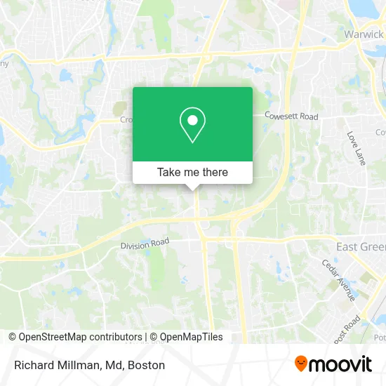
See Richard Millman, Md, Boston, on the map
Public Transit to Richard Millman, Md in Boston
Wondering how to get to Richard Millman, Md in Boston? Moovit helps you find the best way to get to Richard Millman, Md with step-by-step directions from the nearest public transit station.
Moovit provides free maps and live directions to help you navigate through your city. View schedules, routes, timetables, and find out how long does it take to get to Richard Millman, Md in real time.
Looking for the nearest stop or station to Richard Millman, Md? Check out this list of stops closest to your destination: Opposite 549 Quaker Ln.
Bus: 16.
Want to see if there’s another route that gets you there at an earlier time? Moovit helps you find alternative routes or times. Get directions from and directions to Richard Millman, Md easily from the Moovit App or Website.
We make riding to Richard Millman, Md easy, which is why over 1.7 million users, including users in Boston, trust Moovit as the best app for public transit. You don’t need to download an individual bus app or train app, Moovit is your all-in-one transit app that helps you find the best bus time or train time available.
For information on prices of bus, costs and ride fares to Richard Millman, Md, please check the Moovit app.
Use the app to navigate to popular places including to the airport, hospital, stadium, grocery store, mall, coffee shop, school, college, and university.
Richard Millman, Md Address: 1 James P Murphy Ind Hwy street in Boston
- Automobile Shop Near Me,
- Extra Space Storage,
- Blink Charging,
- Ashley,
- Quicklabel USA,
- Caron Rock of Ages Memorials,
- The Paint Shoppes,
- Insurance Auditing Service Atd,
- DCG,
- Briarwood Meadows,
- Andie's All Natural Weight Loss Products,
- Dairy Land Farms,
- Vanessa Lovett - Metlife Auto & Home,
- Foster Parents Plan International,
- Benjamin Moore,
- Sewphisticated,
- Cocktail Hour Essentials,
- Quantum Energy Wellness,
- Quality Food Company,
- Ri Homes for Sale
Places Near Richard Millman, Md (Boston)
- Boston Children's Hospital, Boston,
- Castle Island, Boston,
- House Of Blues, Boston,
- North End, Boston,
- Seaport District, Boston,
- Faneuil Hall, Boston,
- Leader Bank Pavilion (Leader Bank Pavillion), Boston,
- Wang Theater, Boston,
- Boston Convention & Exhibition Center, Boston,
- Boston Common, Boston,
- Massachusetts General Hospital, Boston,
- Boston Medical Center, Boston,
- Prudential Center, Boston,
- Cheers, Boston,
- Td Garden, Boston,
- Mgm Music Hall, Boston,
- Quincy Market, Boston,
- Wilbur Theatre, Boston,
- Museum Of Science, Boston,
- Isabella Stewart Gardner Museum, Boston
How to get to popular places in Boston with public transit
Get around Boston by public transit!
Traveling around Boston has never been so easy. See step by step directions as you travel to any attraction, street or major public transit station. View bus and train schedules, arrival times, service alerts and detailed routes on a map, so you know exactly how to get to anywhere in Boston.
When traveling to any destination around Boston use Moovit's Live Directions with Get Off Notifications to know exactly where and how far to walk, how long to wait for your line, and how many stops are left. Moovit will alert you when it's time to get off — no need to constantly re-check whether yours is the next stop.
Wondering how to use public transit in Boston or how to pay for public transit in Boston? Moovit public transit app can help you navigate your way with public transit easily, and at minimum cost. It includes public transit fees, ticket prices, and costs. Looking for a map of Boston public transit lines? Moovit public transit app shows all public transit maps in Boston with all Bus, Train, Subway and Ferry routes and stops on an interactive map.
Boston has 4 transit type(s), including: Bus, Train, Subway and Ferry, operated by several transit agencies, including MBTA, Southeastern Regional Transit Authority, MetroWest Regional Transit Authority, Rhode Island Public Transit Authority, WRTA, Lowell Regional Transit Authority, Merrimack Valley Transit, Montachusett Regional Transit Authority, Cape Cod Regional Transit Authority, Brockton Area Transit Authority, Martha's Vineyard Transit Authority, the WAVE - Nantucket Regional Transit Authority, GATRA, Cape Ann Transportation Authority and Massport