How to get to Ridgeline Power Group, Llc by bus?
Click on the bus route to see step by step directions with maps, line arrival times and updated time schedules.
From Actioncoach South Kansas City, Overland Park
56 minFrom Arrowhead Stadium, Overland Park
114 minFrom Magtek, Lenexa
72 minFrom McEachen Boysen PA, Prairie Village
93 minFrom Kpgeo, Prairie Village
93 minFrom AdventHealth Shawnee Mission Medical Center, Merriam
46 minFrom The Zack Group, Overland Park
56 minFrom Nall Ave / W 95th St, Overland Park
91 minFrom Walmart Grocery Pickup, Shawnee
35 minFrom Avertest, Olathe
22 min
Bus stops near Ridgeline Power Group, Llc in Olathe
What are the closest stations to Ridgeline Power Group, Llc?
The closest stations to Ridgeline Power Group, Llc are:
- On Strang Line at 118th Northbound Nearside is 1036 yards away, 13 min walk.
- On S Strang Line Road at 119th Plaza Northbound is 1172 yards away, 15 min walk.
Which bus line stops near Ridgeline Power Group, Llc?
403 (Walmart Park N Ride)
What’s the nearest bus station to Ridgeline Power Group, Llc in Olathe?
The nearest bus station to Ridgeline Power Group, Llc in Olathe is On Strang Line at 118th Northbound Nearside. It’s a 13 min walk away.
What time is the first bus to Ridgeline Power Group, Llc in Olathe?
The 403 is the first bus that goes to Ridgeline Power Group, Llc in Olathe. It stops nearby at 5:15 AM.
What time is the last bus to Ridgeline Power Group, Llc in Olathe?
The 403 is the last bus that goes to Ridgeline Power Group, Llc in Olathe. It stops nearby at 8:57 PM.
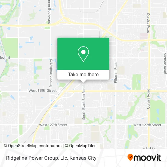
See Ridgeline Power Group, Llc, Olathe, on the map
Public Transit to Ridgeline Power Group, Llc in Olathe
Wondering how to get to Ridgeline Power Group, Llc in Olathe? Moovit helps you find the best way to get to Ridgeline Power Group, Llc with step-by-step directions from the nearest public transit station.
Moovit provides free maps and live directions to help you navigate through your city. View schedules, routes, timetables, and find out how long does it take to get to Ridgeline Power Group, Llc in real time.
Looking for the nearest stop or station to Ridgeline Power Group, Llc? Check out this list of stops closest to your destination: On Strang Line at 118th Northbound Nearside; On S Strang Line Road at 119th Plaza Northbound.
Bus: 403, 402.
Want to see if there’s another route that gets you there at an earlier time? Moovit helps you find alternative routes or times. Get directions from and directions to Ridgeline Power Group, Llc easily from the Moovit App or Website.
We make riding to Ridgeline Power Group, Llc easy, which is why over 1.5 million users, including users in Olathe, trust Moovit as the best app for public transit. You don’t need to download an individual bus app or train app, Moovit is your all-in-one transit app that helps you find the best bus time or train time available.
For information on prices of bus, costs and ride fares to Ridgeline Power Group, Llc, please check the Moovit app.
Use the app to navigate to popular places including to the airport, hospital, stadium, grocery store, mall, coffee shop, school, college, and university.
Ridgeline Power Group, Llc Address: 15020 W 117th St street in Olathe
- Sovereign Staffing Group,
- Kidspark,
- Olive Garden,
- Original Locksmith,
- Billy Goat Briggs & Stratton Engines,
- Ross,
- Amazon Locker-Hauke,
- Crash Champions Collision Repair- Olathe,
- United Rentals Aerial Equipment,
- Olathe Locksmith Near Me,
- NISSAN of Olathe,
- Enterprise,
- Foundation,
- Flywheel Fitness,
- Dogtopia of Olathe,
- Direct SAT TV,
- Cardinal Locksmith,
- Tenderfix by Noah Schnapp,
- Sumits Yoga KC,
- Planet Sub
Places Near Ridgeline Power Group, Llc (Olathe)
- Walmart, Kansas City,
- Truman Medical Center,
- Legends Outlets Kansas City, Kansas City,
- Arrowhead Stadium,
- Ku Medical Center, Kansas City,
- Kauffman Stadium,
- Kansas City Zoo,
- Grandview, MO, Grandview,
- The Glory Hole,
- Liberty, MO, Liberty,
- GEHA Field at Arrowhead Stadium,
- Stans Glory Hole,
- Country Club Plaza,
- St. Luke's Hospital - Medical Plaza I,
- Kansas City International Airport (MCI) (Kansas City International Airport),
- Harrah's Casino, North Kansas City,
- Worlds of Fun,
- Amazon Fulfilment Center-MKC6, Kansas City,
- Walmart Supercenter,
- T-Mobile Center
How to get to popular places in Kansas City with public transit
Get around Olathe by public transit!
Traveling around Olathe has never been so easy. See step by step directions as you travel to any attraction, street or major public transit station. View bus and train schedules, arrival times, service alerts and detailed routes on a map, so you know exactly how to get to anywhere in Olathe.
When traveling to any destination around Olathe use Moovit's Live Directions with Get Off Notifications to know exactly where and how far to walk, how long to wait for your line, and how many stops are left. Moovit will alert you when it's time to get off — no need to constantly re-check whether yours is the next stop.
Wondering how to use public transit in Olathe or how to pay for public transit in Olathe? Moovit public transit app can help you navigate your way with public transit easily, and at minimum cost. It includes public transit fees, ticket prices, and costs. Looking for a map of Olathe public transit lines? Moovit public transit app shows all public transit maps in Olathe with all Bus, Train and Light Rail routes and stops on an interactive map.
Kansas City has 3 transit type(s), including: Bus, Train and Light Rail, operated by several transit agencies, including Kansas City Area Transportation Authority, Lawrence Transit, Topeka Metro, RideKC Johnson County, Amtrak, Greyhound-us and FlixBus-us