How to get to Rifle Range Flat Block B by bus?
Click on the bus route to see step by step directions with maps, line arrival times and updated time schedules.
From Hospital Balik Pulau, Pulau Pinang
88 minFrom Giant Hypermarket, Pulau Pinang
70 minFrom Giant Bayan Baru, Pulau Pinang
65 minFrom Intel Pg12, Pulau Pinang
65 minFrom Tapak Convex USM, Pulau Pinang
75 minFrom Golden Triangle Condominium, Pulau Pinang
40 minFrom Sekolah Agama Sungai Ara, Pulau Pinang
45 minFrom Tapak Pesta Pulau Pinang, Pulau Pinang
44 minFrom Yayasan al-Filfilani, Pulau Pinang
73 minFrom Pantai Hospital Penang, Pulau Pinang
70 min
Bus stops near Rifle Range Flat Block B in Pulau Pinang
Funicular station near Rifle Range Flat Block B in Pulau Pinang
- Lower Station, 50 min walk,VIEW
Bus lines to Rifle Range Flat Block B in Pulau Pinang
What are the closest stations to Rifle Range Flat Block B?
The closest stations to Rifle Range Flat Block B are:
- Flat Padang Tembak is 287 meters away, 4 min walk.
- Public Bank Air Putih is 973 meters away, 14 min walk.
- Lower Station is 3868 meters away, 50 min walk.
Which bus lines stop near Rifle Range Flat Block B?
These bus lines stop near Rifle Range Flat Block B: 201, 202.
What’s the nearest bus station to Rifle Range Flat Block B in Pulau Pinang?
The nearest bus station to Rifle Range Flat Block B in Pulau Pinang is Flat Padang Tembak. It’s a 4 min walk away.
What time is the first bus to Rifle Range Flat Block B in Pulau Pinang?
The 204 is the first bus that goes to Rifle Range Flat Block B in Pulau Pinang. It stops nearby at 5:40 AM.
What time is the last bus to Rifle Range Flat Block B in Pulau Pinang?
The 502. is the last bus that goes to Rifle Range Flat Block B in Pulau Pinang. It stops nearby at 12:31 AM.
What time is the first funicular to Rifle Range Flat Block B in Pulau Pinang?
The PHC is the first funicular that goes to Rifle Range Flat Block B in Pulau Pinang. It stops nearby at 6:30 AM.
What time is the last funicular to Rifle Range Flat Block B in Pulau Pinang?
The PHC is the last funicular that goes to Rifle Range Flat Block B in Pulau Pinang. It stops nearby at 11:04 PM.
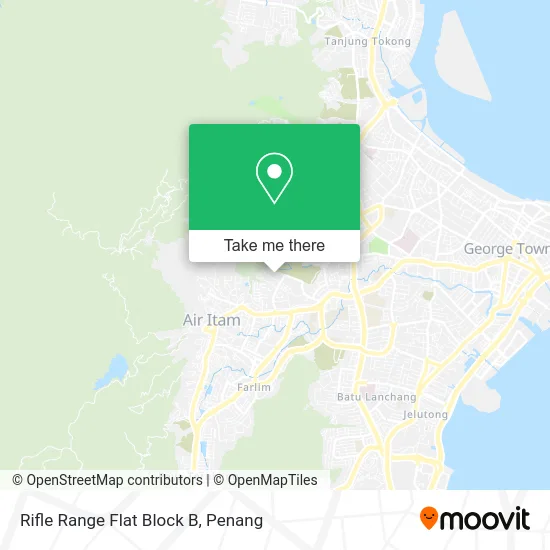
See Rifle Range Flat Block B, Pulau Pinang, on the map
Public Transit to Rifle Range Flat Block B in Pulau Pinang
Wondering how to get to Rifle Range Flat Block B in Pulau Pinang? Moovit helps you find the best way to get to Rifle Range Flat Block B with step-by-step directions from the nearest public transit station.
Moovit provides free maps and live directions to help you navigate through your city. View schedules, routes, timetables, and find out how long does it take to get to Rifle Range Flat Block B in real time.
Looking for the nearest stop or station to Rifle Range Flat Block B? Check out this list of stops closest to your destination: Flat Padang Tembak; Public Bank Air Putih; Lower Station.
Bus: 201, 202, 204, 502..Funicular: PHC.
Want to see if there’s another route that gets you there at an earlier time? Moovit helps you find alternative routes or times. Get directions from and directions to Rifle Range Flat Block B easily from the Moovit App or Website.
We make riding to Rifle Range Flat Block B easy, which is why over 1.5 million users, including users in Pulau Pinang, trust Moovit as the best app for public transit. You don’t need to download an individual bus app or train app, Moovit is your all-in-one transit app that helps you find the best bus time or train time available.
For information on prices of bus, costs and ride fares to Rifle Range Flat Block B, please check the Moovit app.
Use the app to navigate to popular places including to the airport, hospital, stadium, grocery store, mall, coffee shop, school, college, and university.
Rifle Range Flat Block B Address: Jalan Padang Tembak 11500 Air Hitam street in Pulau Pinang
- Pasar Mini Eng Soo,
- ABC Curry Fish Head,
- Bukit Bendera Parliamentary Coordinator Service Centre,
- FRU Dewan Aman,
- Maxtron Enterprise,
- Topkids Pt 佳儿幼儿园,
- Federal Reserve Unit 3,
- Rifle Range Basketball Court,
- HCH Egg Wholesaler,
- SM Barbershop,
- FRU Badminton Hall,
- Rumah Pangsa Padang Tembak,
- Kompleks Gerai Padang Tembak,
- Jalan Sempadan-Lorong Sempadan 2-Nb,
- KAFA Book Store,
- FRU Flat Block A,
- Buletinhartanah,
- Rifle Range G Block,
- C.J. Coffee Corner,
- Northeast Penang Island District
Places Near Rifle Range Flat Block B (Pulau Pinang)
- Batu Kawan, Pulau Pinang,
- Sunway Carnival Mall , Pulau Pinang,
- KOMTAR, Pulau Pinang,
- Shopee Express Butterworth Hub, Pulau Pinang,
- Hospital Pulau Pinang, Pulau Pinang,
- Gurney Plaza, Pulau Pinang,
- Han Chiang High School, Pulau Pinang,
- Touch N Go Service Centre, Pulau Pinang,
- Batu Ferringhi, Pulau Pinang,
- IKEA Batu Kawan, Pulau Pinang,
- ESCAPE, Pulau Pinang,
- Terminal Jetty Rapid Penang, Pulau Pinang,
- Golden B2B Reflexology, Pulau Pinang,
- Sg Nibong Rapid Penang Bus Hub, Pulau Pinang,
- Padang Kota Lama, Pulau Pinang,
- UITM Permatang Pauh, Pulau Pinang,
- Queensbay Mall, Pulau Pinang,
- Bertam, Pulau Pinang,
- Design Village, Pulau Pinang,
- Bayan Lepas, Pulau Pinang
How to get to popular places in Penang with public transit
Get around Pulau Pinang by public transit!
Traveling around Pulau Pinang has never been so easy. See step by step directions as you travel to any attraction, street or major public transit station. View bus and train schedules, arrival times, service alerts and detailed routes on a map, so you know exactly how to get to anywhere in Pulau Pinang.
When traveling to any destination around Pulau Pinang use Moovit's Live Directions with Get Off Notifications to know exactly where and how far to walk, how long to wait for your line, and how many stops are left. Moovit will alert you when it's time to get off — no need to constantly re-check whether yours is the next stop.
Wondering how to use public transit in Pulau Pinang or how to pay for public transit in Pulau Pinang? Moovit public transit app can help you navigate your way with public transit easily, and at minimum cost. It includes public transit fees, ticket prices, and costs. Looking for a map of Pulau Pinang public transit lines? Moovit public transit app shows all public transit maps in Pulau Pinang with all Bus, Train, Ferry and Funicular routes and stops on an interactive map.
Penang has 4 transit type(s), including: Bus, Train, Ferry and Funicular, operated by several transit agencies, including Keretapi Tanah Melayu, Rapid Penang, Penang CAT, Penang Port, BAS.MY Kota Setar, BAS.MY Kangar, Penang Hill Corporation, Lean Hock Company Sdn Bhd, Maraliner, The Kulim-Baling Road Transport, Red Omnibus, Gopi Travel Tours Sdn Bhd and Shuttle Bus