How to get to Rimkus by bus?
Click on the bus route to see step by step directions with maps, line arrival times and updated time schedules.
From Tee Box, Prairie Village
37 minFrom Broadmoor Junior High School, Overland Park
58 minFrom Poised Imagery Media Production Company, Prairie Village
54 minFrom El Fisher Marisqueria Y Taqueria Commissary, Olathe
65 minFrom Menorah Medical Center, Overland Park
107 minFrom Arrowhead Stadium, Overland Park
82 minFrom Shawnee Mission District Stadium at SMN, Overland Park
79 minFrom Olathe, KS, Olathe
66 min
Bus stop near Rimkus in Lenexa
- On 95th at Dice Lane Westbound, 3 min walk,VIEW
Bus lines to Rimkus in Lenexa
- 495, Lenexa City Center,VIEW
What are the closest stations to Rimkus?
The closest stations to Rimkus are:
- On 95th at Dice Lane Westbound is 247 yards away, 3 min walk.
Which bus lines stop near Rimkus?
These bus lines stop near Rimkus: 402, 487, 495.
What’s the nearest bus station to Rimkus in Lenexa?
The nearest bus station to Rimkus in Lenexa is On 95th at Dice Lane Westbound. It’s a 3 min walk away.
What time is the first bus to Rimkus in Lenexa?
The 495 is the first bus that goes to Rimkus in Lenexa. It stops nearby at 5:52 AM.
What time is the last bus to Rimkus in Lenexa?
The 495 is the last bus that goes to Rimkus in Lenexa. It stops nearby at 6:43 PM.
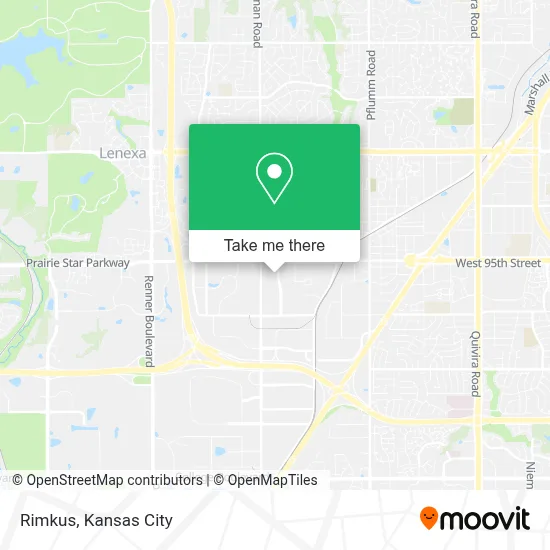
See Rimkus, Lenexa, on the map
Public Transit to Rimkus in Lenexa
Wondering how to get to Rimkus in Lenexa? Moovit helps you find the best way to get to Rimkus with step-by-step directions from the nearest public transit station.
Moovit provides free maps and live directions to help you navigate through your city. View schedules, routes, timetables, and find out how long does it take to get to Rimkus in real time.
Looking for the nearest stop or station to Rimkus? Check out this list of stops closest to your destination: On 95th at Dice Lane Westbound.
Bus: 402, 487, 495.
Want to see if there’s another route that gets you there at an earlier time? Moovit helps you find alternative routes or times. Get directions from and directions to Rimkus easily from the Moovit App or Website.
We make riding to Rimkus easy, which is why over 1.5 million users, including users in Lenexa, trust Moovit as the best app for public transit. You don’t need to download an individual bus app or train app, Moovit is your all-in-one transit app that helps you find the best bus time or train time available.
For information on prices of bus, costs and ride fares to Rimkus, please check the Moovit app.
Use the app to navigate to popular places including to the airport, hospital, stadium, grocery store, mall, coffee shop, school, college, and university.
Rimkus Address: 14801 W 95th St street in Lenexa
- Csi Wholesale,
- Tko All Star Dance,
- Restore Family Chiropractic,
- Flatco Telecommunications Services LLC,
- Levi High Security Locksmith,
- Business,
- Century Marketing, Inc.,
- Greens of Chapel Creek,
- Mission Ranch OP,
- Lackman Rd / W 95th St,
- Pulse Fitness and Crypto,
- Wiener Wagon KC,
- Limitless Brewing,
- Lenexa Restore-Habitat,
- 95th and Lackman,
- E 2nd St N,
- Belger Cartage,
- KC Cabinetwright,
- Heartland Sign & Lighting,
- Mission Statement and Company Motto
Places Near Rimkus (Lenexa)
- St. Luke's Hospital - Medical Plaza I,
- Liberty, MO, Liberty,
- Kansas City International Airport (MCI) (Kansas City International Airport),
- Walmart, Kansas City,
- Amazon Fulfilment Center-MKC6, Kansas City,
- The Glory Hole,
- Walmart Supercenter,
- Truman Medical Center,
- Country Club Plaza,
- Kansas City Zoo,
- Harrah's Casino, North Kansas City,
- T-Mobile Center,
- Kauffman Stadium,
- Arrowhead Stadium,
- Stans Glory Hole,
- Worlds of Fun,
- Legends Outlets Kansas City, Kansas City,
- Ku Medical Center, Kansas City,
- GEHA Field at Arrowhead Stadium,
- Grandview, MO, Grandview
How to get to popular places in Kansas City with public transit
Get around Lenexa by public transit!
Traveling around Lenexa has never been so easy. See step by step directions as you travel to any attraction, street or major public transit station. View bus and train schedules, arrival times, service alerts and detailed routes on a map, so you know exactly how to get to anywhere in Lenexa.
When traveling to any destination around Lenexa use Moovit's Live Directions with Get Off Notifications to know exactly where and how far to walk, how long to wait for your line, and how many stops are left. Moovit will alert you when it's time to get off — no need to constantly re-check whether yours is the next stop.
Wondering how to use public transit in Lenexa or how to pay for public transit in Lenexa? Moovit public transit app can help you navigate your way with public transit easily, and at minimum cost. It includes public transit fees, ticket prices, and costs. Looking for a map of Lenexa public transit lines? Moovit public transit app shows all public transit maps in Lenexa with all Bus, Train and Light Rail routes and stops on an interactive map.
Kansas City has 3 transit type(s), including: Bus, Train and Light Rail, operated by several transit agencies, including Kansas City Area Transportation Authority, Lawrence Transit, Topeka Metro, RideKC Johnson County, Amtrak, Greyhound-us and FlixBus-us