Directions to Ritchie Navigation (North Pembroke) with public transportation
The following transit lines have routes that pass near Ritchie Navigation
 Bus: SAI.
Bus stop near Ritchie Navigation in North Pembroke
- Shop/Kohl's, 19 min walk,VIEW
Bus lines to Ritchie Navigation in North Pembroke
- SAI, Shop/Kohl's,VIEW
- Wolves Den Sports Complex,
- Damon CPA,
- Wood Decor,
- Carmark Plumbing & Heating,
- JLC-Tech IP,
- Winsupply of Marshfield,
- Aip,
- Stateline Irrigation Supply,
- South Paws Doggie Day Care,
- Perry Concrete Forming Supply,
- Soundcheck Studios,
- Atlantic Baseball Club,
- Coinstar - Bitcoin ATM,
- Pinnacle Health Management,
- Coinstar,
- Dog Training Elite South Boston,
- Royal Pizza of Pembroke,
- Turning Point Industries,
- Baystate Hvac,
- Rodtiques
Places Near Ritchie Navigation (North Pembroke)
- North End, Boston,
- Td Garden, Boston,
- House Of Blues, Boston,
- Castle Island, Boston,
- Museum Of Science, Boston,
- Prudential Center, Boston,
- Wang Theater, Boston,
- Quincy Market, Boston,
- Faneuil Hall, Boston,
- Isabella Stewart Gardner Museum, Boston,
- Mgm Music Hall, Boston,
- Boston Common, Boston,
- Boston Medical Center, Boston,
- Cheers, Boston,
- Wilbur Theatre, Boston,
- Leader Bank Pavilion (Leader Bank Pavillion), Boston,
- Massachusetts General Hospital, Boston,
- Boston Convention & Exhibition Center, Boston,
- Seaport District, Boston,
- Boston Children's Hospital, Boston
How to get to popular places in Boston with public transit
What are the closest stations to Ritchie Navigation?
The closest stations to Ritchie Navigation are:
- Shop/Kohl's is 1570 yards away, 19 min walk.
Which bus line stops near Ritchie Navigation?
SAI (Kingston Collection→Shop/Kohl's)
What time is the first bus to Ritchie Navigation in North Pembroke?
The SAI is the first bus that goes to Ritchie Navigation in North Pembroke. It stops nearby at 6:55 AM.
What time is the last bus to Ritchie Navigation in North Pembroke?
The SAI is the last bus that goes to Ritchie Navigation in North Pembroke. It stops nearby at 6:00 PM.
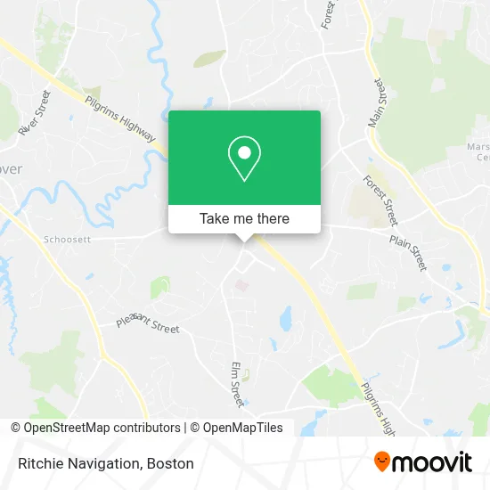
See Ritchie Navigation, North Pembroke, on the map
Public Transit to Ritchie Navigation in North Pembroke
Wondering how to get to Ritchie Navigation in North Pembroke? Moovit helps you find the best way to get to Ritchie Navigation with step-by-step directions from the nearest public transit station.
Moovit provides free maps and live directions to help you navigate through your city. View schedules, routes, timetables, and find out how long does it take to get to Ritchie Navigation in real time.
Looking for the nearest stop or station to Ritchie Navigation? Check out this list of stops closest to your destination: Shop/Kohl's.
Bus: SAI.
Want to see if there’s another route that gets you there at an earlier time? Moovit helps you find alternative routes or times. Get directions from and directions to Ritchie Navigation easily from the Moovit App or Website.
We make riding to Ritchie Navigation easy, which is why over 1.7 million users, including users in North Pembroke, trust Moovit as the best app for public transit. You don’t need to download an individual bus app or train app, Moovit is your all-in-one transit app that helps you find the best bus time or train time available.
For information on prices of bus and train, costs and ride fares to Ritchie Navigation, please check the Moovit app.
Use the app to navigate to popular places including to the airport, hospital, stadium, grocery store, mall, coffee shop, school, college, and university.
Ritchie Navigation Address: 243 Oak St street in North Pembroke
Get around North Pembroke by public transit!
Traveling around North Pembroke has never been so easy. See step by step directions as you travel to any attraction, street or major public transit station. View bus and train schedules, arrival times, service alerts and detailed routes on a map, so you know exactly how to get to anywhere in North Pembroke.
When traveling to any destination around North Pembroke use Moovit's Live Directions with Get Off Notifications to know exactly where and how far to walk, how long to wait for your line, and how many stops are left. Moovit will alert you when it's time to get off — no need to constantly re-check whether yours is the next stop.
Wondering how to use public transit in North Pembroke or how to pay for public transit in North Pembroke? Moovit public transit app can help you navigate your way with public transit easily, and at minimum cost. It includes public transit fees, ticket prices, and costs. Looking for a map of North Pembroke public transit lines? Moovit public transit app shows all public transit maps in North Pembroke with all Bus, Train, Subway and Ferry routes and stops on an interactive map.
Boston has 4 transit type(s), including: Bus, Train, Subway and Ferry, operated by several transit agencies, including MBTA, Southeastern Regional Transit Authority, MetroWest Regional Transit Authority, Rhode Island Public Transit Authority, WRTA, Lowell Regional Transit Authority, Merrimack Valley Transit, Montachusett Regional Transit Authority, Cape Cod Regional Transit Authority, Brockton Area Transit Authority, Martha's Vineyard Transit Authority, the WAVE - Nantucket Regional Transit Authority, GATRA, Cape Ann Transportation Authority and Massport