How to get to Riteway Maintenance & Supply Llc by bus?
Click on the bus route to see step by step directions with maps, line arrival times and updated time schedules.
Bus stops near Riteway Maintenance & Supply Llc in Kansas City
Light Rail stations near Riteway Maintenance & Supply Llc in Kansas City
- Power & Light (14th & Main St), 44 min walk,VIEW
Bus lines to Riteway Maintenance & Supply Llc in Kansas City
What are the closest stations to Riteway Maintenance & Supply Llc?
The closest stations to Riteway Maintenance & Supply Llc are:
- On Truman at Campbell Eastbound is 159 yards away, 3 min walk.
- On 18th at Lydia Westbound is 383 yards away, 5 min walk.
- On Troost at Truman Southbound Nearside is 443 yards away, 6 min walk.
- On Truman Rd at Troost Eastbound Farside is 459 yards away, 6 min walk.
- Power & Light (14th & Main St) is 3684 yards away, 44 min walk.
Which bus lines stop near Riteway Maintenance & Supply Llc?
These bus lines stop near Riteway Maintenance & Supply Llc: 18, 25, 71.
What’s the nearest bus station to Riteway Maintenance & Supply Llc in Kansas City?
The nearest bus station to Riteway Maintenance & Supply Llc in Kansas City is On Truman at Campbell Eastbound. It’s a 3 min walk away.
What time is the first light rail to Riteway Maintenance & Supply Llc in Kansas City?
The STCR is the first light rail that goes to Riteway Maintenance & Supply Llc in Kansas City. It stops nearby at 5:24 AM.
What time is the last light rail to Riteway Maintenance & Supply Llc in Kansas City?
The STCR is the last light rail that goes to Riteway Maintenance & Supply Llc in Kansas City. It stops nearby at 12:13 AM.
What time is the first bus to Riteway Maintenance & Supply Llc in Kansas City?
The 25 is the first bus that goes to Riteway Maintenance & Supply Llc in Kansas City. It stops nearby at 6:03 AM.
What time is the last bus to Riteway Maintenance & Supply Llc in Kansas City?
The 18 is the last bus that goes to Riteway Maintenance & Supply Llc in Kansas City. It stops nearby at 11:28 PM.
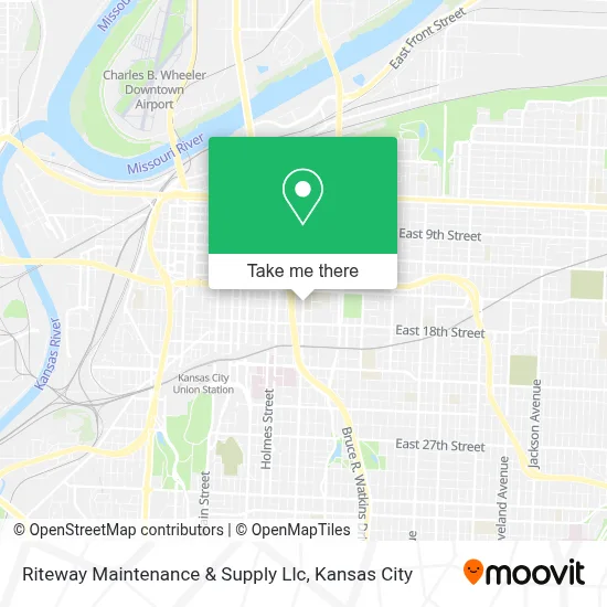
See Riteway Maintenance & Supply Llc, Kansas City, on the map
Public Transit to Riteway Maintenance & Supply Llc in Kansas City
Wondering how to get to Riteway Maintenance & Supply Llc in Kansas City? Moovit helps you find the best way to get to Riteway Maintenance & Supply Llc with step-by-step directions from the nearest public transit station.
Moovit provides free maps and live directions to help you navigate through your city. View schedules, routes, timetables, and find out how long does it take to get to Riteway Maintenance & Supply Llc in real time.
Looking for the nearest stop or station to Riteway Maintenance & Supply Llc? Check out this list of stops closest to your destination: On Truman at Campbell Eastbound; On 18th at Lydia Westbound; On Troost at Truman Southbound Nearside; On Truman Rd at Troost Eastbound Farside; Power & Light (14th & Main St).
Bus: 18, 25, 71, 23.
Want to see if there’s another route that gets you there at an earlier time? Moovit helps you find alternative routes or times. Get directions from and directions to Riteway Maintenance & Supply Llc easily from the Moovit App or Website.
We make riding to Riteway Maintenance & Supply Llc easy, which is why over 1.5 million users, including users in Kansas City, trust Moovit as the best app for public transit. You don’t need to download an individual bus app or train app, Moovit is your all-in-one transit app that helps you find the best bus time or train time available.
For information on prices of bus, costs and ride fares to Riteway Maintenance & Supply Llc, please check the Moovit app.
Use the app to navigate to popular places including to the airport, hospital, stadium, grocery store, mall, coffee shop, school, college, and university.
Riteway Maintenance & Supply Llc Address: 1620 Troost Ave street in Kansas City
- Full Employment Council (Fec),
- Negro Leagues Baseball Museum,
- The Truman,
- East Village Transit Center,
- Fletcher Daniels State Office Building,
- American Jazz Museum (Museums at 18th & Vine),
- Greyhound Bus Lines,
- 18th & Vine Jazz District,
- Truman Rd S / Oak St,
- Richard Bolling Federal Building,
- Judicial Square,
- Truman at Woodland,
- Social Security Administration,
- Jackson County Courthouse Division 26,
- Truman Medical Center Behavioral Health,
- City Union Mission,
- The Salvation Army Adult Rehabilitation Center,
- T-Mobile Center,
- Green Lady Lounge,
- Kci Airport
Places Near Riteway Maintenance & Supply Llc (Kansas City)
- Kansas City Zoo,
- Walmart, Kansas City,
- Stans Glory Hole,
- Ku Medical Center, Kansas City,
- Legends Outlets Kansas City, Kansas City,
- Liberty, MO, Liberty,
- Harrah's Casino, North Kansas City,
- Country Club Plaza,
- Walmart Supercenter,
- Kauffman Stadium,
- Grandview, MO, Grandview,
- Kansas City International Airport (MCI) (Kansas City International Airport),
- T-Mobile Center,
- GEHA Field at Arrowhead Stadium,
- Arrowhead Stadium,
- St. Luke's Hospital - Medical Plaza I,
- The Glory Hole,
- Amazon Fulfilment Center-MKC6, Kansas City,
- Truman Medical Center,
- Worlds of Fun
How to get to popular places in Kansas City with public transit
Get around Kansas City by public transit!
Traveling around Kansas City has never been so easy. See step by step directions as you travel to any attraction, street or major public transit station. View bus and train schedules, arrival times, service alerts and detailed routes on a map, so you know exactly how to get to anywhere in Kansas City.
When traveling to any destination around Kansas City use Moovit's Live Directions with Get Off Notifications to know exactly where and how far to walk, how long to wait for your line, and how many stops are left. Moovit will alert you when it's time to get off — no need to constantly re-check whether yours is the next stop.
Wondering how to use public transit in Kansas City or how to pay for public transit in Kansas City? Moovit public transit app can help you navigate your way with public transit easily, and at minimum cost. It includes public transit fees, ticket prices, and costs. Looking for a map of Kansas City public transit lines? Moovit public transit app shows all public transit maps in Kansas City with all Bus, Train and Light Rail routes and stops on an interactive map.
Kansas City has 3 transit type(s), including: Bus, Train and Light Rail, operated by several transit agencies, including Kansas City Area Transportation Authority, Lawrence Transit, Topeka Metro, RideKC Johnson County, Amtrak, Greyhound-us and FlixBus-us