Riverside / Harwood stop - Thursday schedule
| Line | Direction | Time |
|---|---|---|
| 296 | Lincoln - Cypress Station | 5:22 AM |
| 296 | Lincoln - Cypress Station | 6:07 AM |
| 296 | Lincoln - Cypress Station | 6:53 AM |
| 296 | Lincoln - Cypress Station | 7:41 AM |
| 296 | Lincoln - Cypress Station | 8:26 AM |
| 296 | Lincoln - Cypress Station | 9:11 AM |
| 296 | Lincoln - Cypress Station | 9:55 AM |
| 296 | Lincoln - Cypress Station | 10:40 AM |
| 296 | Lincoln - Cypress Station | 11:25 AM |
| 296 | Lincoln - Cypress Station | 12:10 PM |
| 296 | Lincoln - Cypress Station | 12:55 PM |
| 296 | Lincoln - Cypress Station | 1:41 PM |
| 296 | Lincoln - Cypress Station | 2:26 PM |
| 296 | Lincoln - Cypress Station | 3:11 PM |
| 296 | Lincoln - Cypress Station | 3:56 PM |
| 296 | Lincoln - Cypress Station | 4:41 PM |
| 296 | Lincoln - Cypress Station | 5:26 PM |
| 296 | Lincoln - Cypress Station | 6:10 PM |
| 296 | Lincoln - Cypress Station | 6:54 PM |
| 296 | Lincoln - Cypress Station | 7:38 PM |
| 296 | Lincoln - Cypress Station | 8:23 PM |
| 296 | Lincoln - Cypress Station | 9:08 PM |
Directions to Riverside / Harwood stop (Elysian Valley) with public transit
The following transit lines have routes that pass near Riverside / Harwood
 Bus: 296, 90, 94.
- Subway: A LINE.
How to get to Riverside / Harwood stop by bus?
Click on the bus route to see step by step directions with maps, line arrival times and updated time schedules.
How to get to Riverside / Harwood stop by subway?
Click on the subway route to see step by step directions with maps, line arrival times and updated time schedules.
Bus stops near Riverside / Harwood stop in Elysian Valley
- Riverside / Harwood, 1 min walk,
- San Fernando / Arvia, 8 min walk,
Subway stations near Riverside / Harwood station in Elysian Valley
- Chinatown Station, 11 min walk,
Bus lines to Riverside / Harwood stop in Elysian Valley
- 296, Burbank Station,
- 90, Downtown La,
- 94, Downtown La - Hill - Venice,
What are the closest stations to Riverside / Harwood?
The closest stations to Riverside / Harwood are:
- Riverside / Harwood stop is 40 yards away, 1 min walk.
- San Fernando / Arvia stop is 643 yards away, 8 min walk.
- Chinatown Station is 936 yards away, 11 min walk.
Which bus line stops near Riverside / Harwood?
296 (Lincoln - Cypress Station)
Which subway line stops near Riverside / Harwood?
A LINE (Northbound to Pomona North)
What’s the nearest subway station to Riverside / Harwood in Elysian Valley?
The nearest subway station to Riverside / Harwood in Elysian Valley is Chinatown Station. It’s a 11 min walk away.
What’s the nearest bus station to Riverside / Harwood in Elysian Valley?
The nearest bus station to Riverside / Harwood in Elysian Valley is Riverside / Harwood. It’s a 1 min walk away.
What time is the first subway to Riverside / Harwood in Elysian Valley?
The A LINE is the first subway that goes to Riverside / Harwood in Elysian Valley. It stops nearby at 4:02 AM.
What time is the last subway to Riverside / Harwood in Elysian Valley?
The A LINE is the last subway that goes to Riverside / Harwood in Elysian Valley. It stops nearby at 1:02 AM.
What time is the first bus to Riverside / Harwood in Elysian Valley?
The 94 is the first bus that goes to Riverside / Harwood in Elysian Valley. It stops nearby at 4:56 AM.
What time is the last bus to Riverside / Harwood in Elysian Valley?
The 94 is the last bus that goes to Riverside / Harwood in Elysian Valley. It stops nearby at 2:28 AM.
Riverside / Harwood station
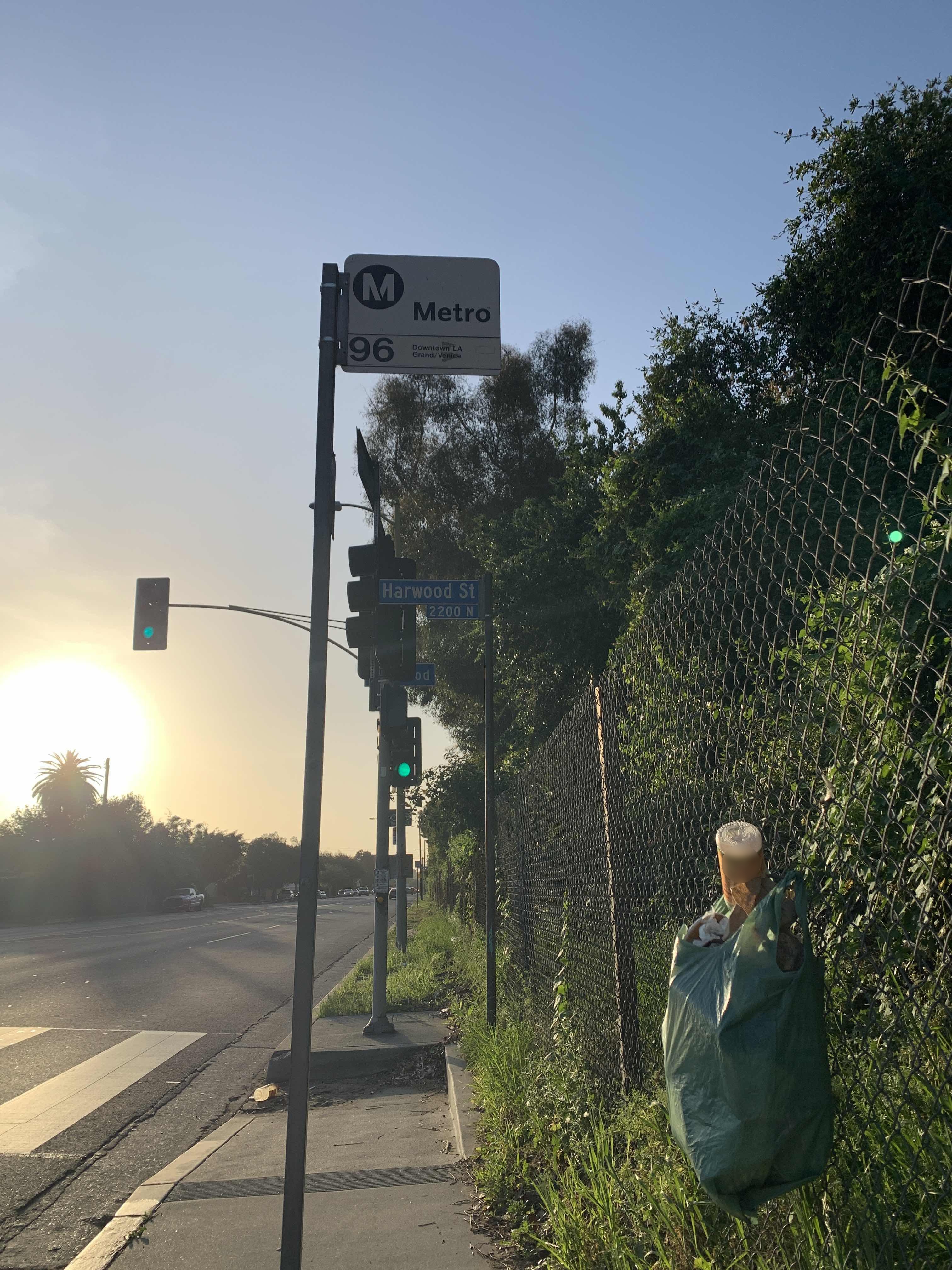 Taken by Fancy T.
See Riverside / Harwood stop, Elysian Valley, on the map
Public transit to Riverside / Harwood stop (ID: 18095) in Elysian Valley
Looking for directions to Riverside / Harwood in Elysian Valley, United States?
Download the Moovit App to find the current schedule and step-by-step directions for Bus or Subway routes that pass through Riverside / Harwood.
Looking for the nearest stops closest to Riverside / Harwood ? Check out this list of closest stops to your destination: Riverside / Harwood; San Fernando / Arvia; Chinatown Station.
Bus: 296, 90, 94.Subway: A LINE.
We make riding on public transit to Riverside / Harwood easy, which is why over 1.7 billion users, including users in Elysian Valley trust Moovit as the best app for public transit.
Use the app to navigate to popular places including to the airport, hospital, stadium, grocery store, mall, coffee shop, school, college, and university.
Riverside / Harwood stop’s code is 18095
The first line to this stop is 296, at 5:22 AM, and the last line is 296 at 9:08 PM.
2227 N Harwood St, Los Angeles, CA, USA
This stop serves Metro’s lines
- Riverside / Harwood,
- San Fernando / Arvia
Bus stops near Riverside / Harwood stop
- Chinatown Station
Subway station near Riverside / Harwood station
- Cesar E Chavez / Eastern,
- Del Amo / Avalon,
- De Soto Ave & Burbank Blvd,
- Victory / Balboa,
- Olympic / Burlington,
- West La VA Medical Center,
- Arcadia and Los Angeles St W,
- Carson St + Figueroa St,
- Broadway / Brand,
- Van Nuys / Foothill,
- Balboa / Parthenia,
- Magnolia / Hollywood Way,
- Rinaldi / Laurel Canyon,
- Flower St at 23rd St,
- Aviation / Imperial Station,
- Florence / Central,
- Figueroa / Avenue 54,
- California / Tweedy,
- Lakewood Blvd Station - East,
- Florence Ave & Santa Fe Ave
Popular public transit stations in Elysian Valley
Get around Elysian Valley by public transit!
Traveling around Elysian Valley has never been so easy. See step by step directions as you travel to any attraction, street or major public transit station. View bus and train schedules, arrival times, service alerts and detailed routes on a map, so you know exactly how to get to anywhere in Elysian Valley.
When traveling to any destination around Elysian Valley use Moovit's Live Directions with Get Off Notifications to know exactly where and how far to walk, how long to wait for your line, and how many stops are left. Moovit will alert you when it's time to get off — no need to constantly re-check whether yours is the next stop.
Wondering how to use public transit in Elysian Valley or how to pay for public transit in Elysian Valley? Moovit public transit app can help you navigate your way with public transit easily, and at minimum cost. It includes public transit fees, ticket prices, and costs. Looking for a map of Elysian Valley public transit lines? Moovit public transit app shows all public transit maps in Elysian Valley with all Bus, Train, Subway, Ferry and Funicular routes and stops on an interactive map.
Los Angeles has 5 transit type(s), including: Bus, Train, Subway, Ferry and Funicular, operated by several transit agencies, including Metro, Metro Event Service, Alhambra Community Transit (ACT), Arcadia Transit, Artesia Transit, AVTA, Baldwin Park Transit, Beach Cities Transit, Beaumont Transit, Bell Gardens Town Trolley, Bellflower Bus, Big Blue Bus, Burbank Bus, Calabasas Trolley and Camarillo Area Transit