How to get to Road To Responsibility by bus?
Click on the bus route to see step by step directions with maps, line arrival times and updated time schedules.
From Brockton, MA, Brockton
151 minFrom Hingham, MA, Hingham
108 minFrom Qea, Quincy
61 minFrom Quincy Center Station, Quincy
50 minFrom Archbishop Williams High School, Braintree Town
55 minFrom South Shore Plaza Mbta Bus Stop, Braintree Town
58 minFrom Granite Links Golf Club at Quarry Hills, Quincy
104 minFrom Massasoit Community College, Brockton
154 min
How to get to Road To Responsibility by train?
Click on the train route to see step by step directions with maps, line arrival times and updated time schedules.
Bus stop near Road To Responsibility in Weymouth Town
- Opp 85 Columbian St, 8 min walk,VIEW
Train station near Road To Responsibility in Weymouth Town
- South Weymouth, 47 min walk,VIEW
Bus lines to Road To Responsibility in Weymouth Town
- 226, Columbian Square,VIEW
What are the closest stations to Road To Responsibility?
The closest stations to Road To Responsibility are:
- Opp 85 Columbian St is 609 yards away, 8 min walk.
- South Weymouth is 4012 yards away, 47 min walk.
Which bus line stops near Road To Responsibility?
226 (Columbian Square)
Which train line stops near Road To Responsibility?
KINGSTON (#1017 | Kingston)
What’s the nearest bus station to Road To Responsibility in Weymouth Town?
The nearest bus station to Road To Responsibility in Weymouth Town is Opp 85 Columbian St. It’s a 8 min walk away.
What time is the first train to Road To Responsibility in Weymouth Town?
The KINGSTON is the first train that goes to Road To Responsibility in Weymouth Town. It stops nearby at 5:27 AM.
What time is the last train to Road To Responsibility in Weymouth Town?
The KINGSTON is the last train that goes to Road To Responsibility in Weymouth Town. It stops nearby at 12:32 AM.
What time is the first bus to Road To Responsibility in Weymouth Town?
The 226 is the first bus that goes to Road To Responsibility in Weymouth Town. It stops nearby at 5:59 AM.
What time is the last bus to Road To Responsibility in Weymouth Town?
The 226 is the last bus that goes to Road To Responsibility in Weymouth Town. It stops nearby at 11:33 PM.
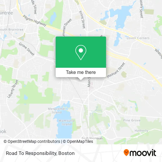
See Road To Responsibility, Weymouth Town, on the map
Public Transit to Road To Responsibility in Weymouth Town
Wondering how to get to Road To Responsibility in Weymouth Town? Moovit helps you find the best way to get to Road To Responsibility with step-by-step directions from the nearest public transit station.
Moovit provides free maps and live directions to help you navigate through your city. View schedules, routes, timetables, and find out how long does it take to get to Road To Responsibility in real time.
Looking for the nearest stop or station to Road To Responsibility? Check out this list of stops closest to your destination: Opp 85 Columbian St; South Weymouth.
Bus: 226.Train: KINGSTON.
Want to see if there’s another route that gets you there at an earlier time? Moovit helps you find alternative routes or times. Get directions from and directions to Road To Responsibility easily from the Moovit App or Website.
We make riding to Road To Responsibility easy, which is why over 1.7 million users, including users in Weymouth Town, trust Moovit as the best app for public transit. You don’t need to download an individual bus app or train app, Moovit is your all-in-one transit app that helps you find the best bus time or train time available.
For information on prices of bus, train and subway, costs and ride fares to Road To Responsibility, please check the Moovit app.
Use the app to navigate to popular places including to the airport, hospital, stadium, grocery store, mall, coffee shop, school, college, and university.
Road To Responsibility Address: 205 Columbian St South Weymouth, MA 02184 street in Weymouth Town
- RTR Columbian,
- Welch Weddings,
- Machado Hardwood Floor,
- Sunoco Gas Station,
- David S. Kam, M.D., Dmd,
- Robin Pappal, MD,
- Citgo,
- Turkey Hill,
- Sunset Automotive Service,
- Katharine Bills Woods, Pa-C,
- Stephen Johnson, Md,
- Duggan J Paul, MD,
- Felisa Y Siy MD,
- Aghdasi Iraj,
- Children's Hospital Physicians at South Shore,
- Same,
- Citizens Atm,
- Technology Locksmith LTD,
- Dana Farber Cancer Center,
- Novaesthetics
Places Near Road To Responsibility (Weymouth Town)
- Boston Children's Hospital, Boston,
- North End, Boston,
- Cheers, Boston,
- Wang Theater, Boston,
- Boston Convention & Exhibition Center, Boston,
- Museum Of Science, Boston,
- Mgm Music Hall, Boston,
- House Of Blues, Boston,
- Boston Medical Center, Boston,
- Wilbur Theatre, Boston,
- Boston Common, Boston,
- Leader Bank Pavilion (Leader Bank Pavillion), Boston,
- Massachusetts General Hospital, Boston,
- Prudential Center, Boston,
- Castle Island, Boston,
- Td Garden, Boston,
- Faneuil Hall, Boston,
- Isabella Stewart Gardner Museum, Boston,
- Seaport District, Boston,
- Quincy Market, Boston
How to get to popular places in Boston with public transit
Get around Weymouth Town by public transit!
Traveling around Weymouth Town has never been so easy. See step by step directions as you travel to any attraction, street or major public transit station. View bus and train schedules, arrival times, service alerts and detailed routes on a map, so you know exactly how to get to anywhere in Weymouth Town.
When traveling to any destination around Weymouth Town use Moovit's Live Directions with Get Off Notifications to know exactly where and how far to walk, how long to wait for your line, and how many stops are left. Moovit will alert you when it's time to get off — no need to constantly re-check whether yours is the next stop.
Wondering how to use public transit in Weymouth Town or how to pay for public transit in Weymouth Town? Moovit public transit app can help you navigate your way with public transit easily, and at minimum cost. It includes public transit fees, ticket prices, and costs. Looking for a map of Weymouth Town public transit lines? Moovit public transit app shows all public transit maps in Weymouth Town with all Bus, Train, Subway and Ferry routes and stops on an interactive map.
Boston has 4 transit type(s), including: Bus, Train, Subway and Ferry, operated by several transit agencies, including MBTA, Southeastern Regional Transit Authority, MetroWest Regional Transit Authority, Rhode Island Public Transit Authority, WRTA, Lowell Regional Transit Authority, Merrimack Valley Transit, Montachusett Regional Transit Authority, Cape Cod Regional Transit Authority, Brockton Area Transit Authority, Martha's Vineyard Transit Authority, the WAVE - Nantucket Regional Transit Authority, GATRA, Cape Ann Transportation Authority and Massport