How to get to Robin Doherty Group by bus?
Click on the bus route to see step by step directions with maps, line arrival times and updated time schedules.
From Boston Children's Hospital at Waltham, Waltham
138 minFrom Watertown, MA, Watertown Town
83 minFrom Apple Cinemas, Cambridge
35 minFrom Danehy Park, Cambridge
37 minFrom Boston Dynamics, Waltham
152 minFrom Belmont, MA, Belmont
65 minFrom Bentley University, Waltham
143 minFrom Fresh Pond Mall, Cambridge
36 min
Bus stops near Robin Doherty Group in Lexington
Bus lines to Robin Doherty Group in Lexington
What are the closest stations to Robin Doherty Group?
The closest stations to Robin Doherty Group are:
- Bedford St @ Revere St is 419 yards away, 6 min walk.
- Massachusetts Ave @ Forest St is 666 yards away, 8 min walk.
Which bus lines stop near Robin Doherty Group?
These bus lines stop near Robin Doherty Group: 62, 76.
What’s the nearest bus station to Robin Doherty Group in Lexington?
The nearest bus station to Robin Doherty Group in Lexington is Bedford St @ Revere St. It’s a 6 min walk away.
What time is the first bus to Robin Doherty Group in Lexington?
The 62 is the first bus that goes to Robin Doherty Group in Lexington. It stops nearby at 5:24 AM.
What time is the last bus to Robin Doherty Group in Lexington?
The 62 is the last bus that goes to Robin Doherty Group in Lexington. It stops nearby at 10:38 PM.
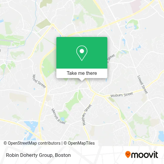
See Robin Doherty Group, Lexington, on the map
Public Transit to Robin Doherty Group in Lexington
Wondering how to get to Robin Doherty Group in Lexington? Moovit helps you find the best way to get to Robin Doherty Group with step-by-step directions from the nearest public transit station.
Moovit provides free maps and live directions to help you navigate through your city. View schedules, routes, timetables, and find out how long does it take to get to Robin Doherty Group in real time.
Looking for the nearest stop or station to Robin Doherty Group? Check out this list of stops closest to your destination: Bedford St @ Revere St; Massachusetts Ave @ Forest St.
Bus: 62, 76.
Want to see if there’s another route that gets you there at an earlier time? Moovit helps you find alternative routes or times. Get directions from and directions to Robin Doherty Group easily from the Moovit App or Website.
We make riding to Robin Doherty Group easy, which is why over 1.7 million users, including users in Lexington, trust Moovit as the best app for public transit. You don’t need to download an individual bus app or train app, Moovit is your all-in-one transit app that helps you find the best bus time or train time available.
For information on prices of bus, subway and train, costs and ride fares to Robin Doherty Group, please check the Moovit app.
Use the app to navigate to popular places including to the airport, hospital, stadium, grocery store, mall, coffee shop, school, college, and university.
Robin Doherty Group Address: 1 Militia Dr street in Lexington
- The Prosperity Group Realtor,
- Medford Housing Market,
- Beth Sager- the Beth Sager Group,
- Salem Five Bank,
- Lexington Town Trusted Locksmith,
- McCracken,
- Ann L Broski,
- Assisting Hands Home Care,
- Law Office of Wendy Manz,
- Mwa Asset Management,
- Kathleen R Burke PHD RN CS,
- Research Institute for Learning and Development (Researchild),
- Ellie Psy Stein D,
- Growing Minds,
- Lexington Clinical Associates,
- The Goldberg Law Firm,
- M Crosby Jesse PHD,
- Kevin M Sargis Lawyer,
- Mor Management,
- Reusser Jonathan
Places Near Robin Doherty Group (Lexington)
- Boston Children's Hospital, Boston,
- House Of Blues, Boston,
- Wilbur Theatre, Boston,
- Museum Of Science, Boston,
- Prudential Center, Boston,
- Wang Theater, Boston,
- Boston Convention & Exhibition Center, Boston,
- Cheers, Boston,
- Td Garden, Boston,
- Seaport District, Boston,
- Mgm Music Hall, Boston,
- Faneuil Hall, Boston,
- Quincy Market, Boston,
- Castle Island, Boston,
- Isabella Stewart Gardner Museum, Boston,
- Boston Common, Boston,
- Boston Medical Center, Boston,
- North End, Boston,
- Massachusetts General Hospital, Boston,
- Leader Bank Pavilion (Leader Bank Pavillion), Boston
How to get to popular places in Boston with public transit
Get around Lexington by public transit!
Traveling around Lexington has never been so easy. See step by step directions as you travel to any attraction, street or major public transit station. View bus and train schedules, arrival times, service alerts and detailed routes on a map, so you know exactly how to get to anywhere in Lexington.
When traveling to any destination around Lexington use Moovit's Live Directions with Get Off Notifications to know exactly where and how far to walk, how long to wait for your line, and how many stops are left. Moovit will alert you when it's time to get off — no need to constantly re-check whether yours is the next stop.
Wondering how to use public transit in Lexington or how to pay for public transit in Lexington? Moovit public transit app can help you navigate your way with public transit easily, and at minimum cost. It includes public transit fees, ticket prices, and costs. Looking for a map of Lexington public transit lines? Moovit public transit app shows all public transit maps in Lexington with all Bus, Train, Subway and Ferry routes and stops on an interactive map.
Boston has 4 transit type(s), including: Bus, Train, Subway and Ferry, operated by several transit agencies, including MBTA, Southeastern Regional Transit Authority, MetroWest Regional Transit Authority, Rhode Island Public Transit Authority, WRTA, Lowell Regional Transit Authority, Merrimack Valley Transit, Montachusett Regional Transit Authority, Cape Cod Regional Transit Authority, Brockton Area Transit Authority, Martha's Vineyard Transit Authority, the WAVE - Nantucket Regional Transit Authority, GATRA, Cape Ann Transportation Authority and Massport