How to get to Rockstar Cinema Productions by bus?
Click on the bus route to see step by step directions with maps, line arrival times and updated time schedules.
From Registry Of Motor Vehicles (Rmv) Branch Office, Worcester
167 minFrom Palladium, Worcester
168 minFrom South High Community School, Worcester
252 minFrom Polar Park, Worcester
164 minFrom Worcester, MA, Worcester
163 minFrom Foxwoods, Worcester
185 minFrom Dcu Center, Worcester
165 minFrom Walmart Supercenter, Worcester
214 min
Bus stop near Rockstar Cinema Productions in Boston
- Chapin / East, 15 min walk,VIEW
Bus lines to Rockstar Cinema Productions in Boston
- X94, East Longmeadow Big Y,VIEW
What are the closest stations to Rockstar Cinema Productions?
The closest stations to Rockstar Cinema Productions are:
- Chapin / East is 1211 yards away, 15 min walk.
Which bus lines stop near Rockstar Cinema Productions?
These bus lines stop near Rockstar Cinema Productions: B6, X94.
What’s the nearest bus station to Rockstar Cinema Productions in Boston?
The nearest bus station to Rockstar Cinema Productions in Boston is Chapin / East. It’s a 15 min walk away.
What time is the first bus to Rockstar Cinema Productions in Boston?
The X94 is the first bus that goes to Rockstar Cinema Productions in Boston. It stops nearby at 9:06 AM.
What time is the last bus to Rockstar Cinema Productions in Boston?
The X94 is the last bus that goes to Rockstar Cinema Productions in Boston. It stops nearby at 8:36 PM.
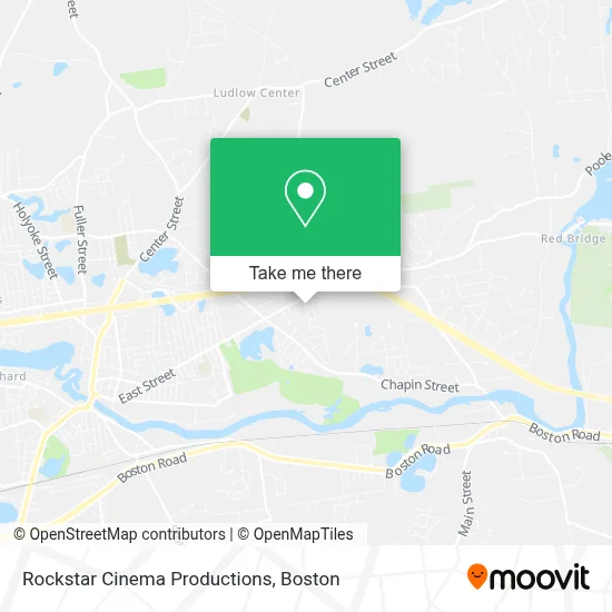
See Rockstar Cinema Productions, Boston, on the map
Public Transit to Rockstar Cinema Productions in Boston
Wondering how to get to Rockstar Cinema Productions in Boston? Moovit helps you find the best way to get to Rockstar Cinema Productions with step-by-step directions from the nearest public transit station.
Moovit provides free maps and live directions to help you navigate through your city. View schedules, routes, timetables, and find out how long does it take to get to Rockstar Cinema Productions in real time.
Looking for the nearest stop or station to Rockstar Cinema Productions? Check out this list of stops closest to your destination: Chapin / East.
Bus: B6, X94.
Want to see if there’s another route that gets you there at an earlier time? Moovit helps you find alternative routes or times. Get directions from and directions to Rockstar Cinema Productions easily from the Moovit App or Website.
We make riding to Rockstar Cinema Productions easy, which is why over 1.7 million users, including users in Boston, trust Moovit as the best app for public transit. You don’t need to download an individual bus app or train app, Moovit is your all-in-one transit app that helps you find the best bus time or train time available.
For information on prices of bus, costs and ride fares to Rockstar Cinema Productions, please check the Moovit app.
Use the app to navigate to popular places including to the airport, hospital, stadium, grocery store, mall, coffee shop, school, college, and university.
Rockstar Cinema Productions Address: 86 Green St street in Boston
- Ludlow Service Plaza,
- Ludlow Service Plaza Eastbound,
- Rest Area I-90 (East Bound),
- Rest Area I-90 (West Bound),
- Papa Gino's,
- D'Angelo,
- Lane Property,
- Minechoag Pond,
- Driving Range,
- Paul R. Baird Middle School,
- Veterans Park Elementary School,
- Ludlow Town Hall,
- Luso Federal Credit Union,
- Ludlow Public Schools,
- East Street Elementary School,
- Our Lady Of Fatima Church,
- Our Lady Of Fatima Parish Center,
- E. Randall-Sroka Ln.,
- Wood Pond,
- Lusitano Club
Places Near Rockstar Cinema Productions (Boston)
- Leader Bank Pavilion (Leader Bank Pavillion), Boston,
- Seaport District, Boston,
- Boston Convention & Exhibition Center, Boston,
- Boston Common, Boston,
- Td Garden, Boston,
- Cheers, Boston,
- Quincy Market, Boston,
- North End, Boston,
- Faneuil Hall, Boston,
- Isabella Stewart Gardner Museum, Boston,
- Wang Theater, Boston,
- Museum Of Science, Boston,
- Mgm Music Hall, Boston,
- Boston Children's Hospital, Boston,
- Boston Medical Center, Boston,
- Castle Island, Boston,
- Prudential Center, Boston,
- Wilbur Theatre, Boston,
- Massachusetts General Hospital, Boston,
- House Of Blues, Boston
How to get to popular places in Boston with public transit
Get around Boston by public transit!
Traveling around Boston has never been so easy. See step by step directions as you travel to any attraction, street or major public transit station. View bus and train schedules, arrival times, service alerts and detailed routes on a map, so you know exactly how to get to anywhere in Boston.
When traveling to any destination around Boston use Moovit's Live Directions with Get Off Notifications to know exactly where and how far to walk, how long to wait for your line, and how many stops are left. Moovit will alert you when it's time to get off — no need to constantly re-check whether yours is the next stop.
Wondering how to use public transit in Boston or how to pay for public transit in Boston? Moovit public transit app can help you navigate your way with public transit easily, and at minimum cost. It includes public transit fees, ticket prices, and costs. Looking for a map of Boston public transit lines? Moovit public transit app shows all public transit maps in Boston with all Bus, Train, Subway and Ferry routes and stops on an interactive map.
Boston has 4 transit type(s), including: Bus, Train, Subway and Ferry, operated by several transit agencies, including MBTA, Southeastern Regional Transit Authority, MetroWest Regional Transit Authority, Rhode Island Public Transit Authority, WRTA, Lowell Regional Transit Authority, Merrimack Valley Transit, Montachusett Regional Transit Authority, Cape Cod Regional Transit Authority, Brockton Area Transit Authority, Martha's Vineyard Transit Authority, the WAVE - Nantucket Regional Transit Authority, GATRA, Cape Ann Transportation Authority and Massport